Distance between  Westwood and
  Mt Larcom
53.58 mi Straight Distance
73.01 mi Driving Distance
1 hour 14 mins Estimated Driving Time
The straight distance between Westwood (Queensland) and Mt Larcom (Queensland) is 53.58 mi, but the driving distance is 73.01 mi.
It takes 1 hour 22 mins to go from Westwood to Mt Larcom.
Driving directions from Westwood to Mt Larcom
Distance in kilometers
Straight distance: 86.21 km. Route distance: 117.47 km
Westwood, Australia
Latitude: -23.627 // Longitude: 150.156
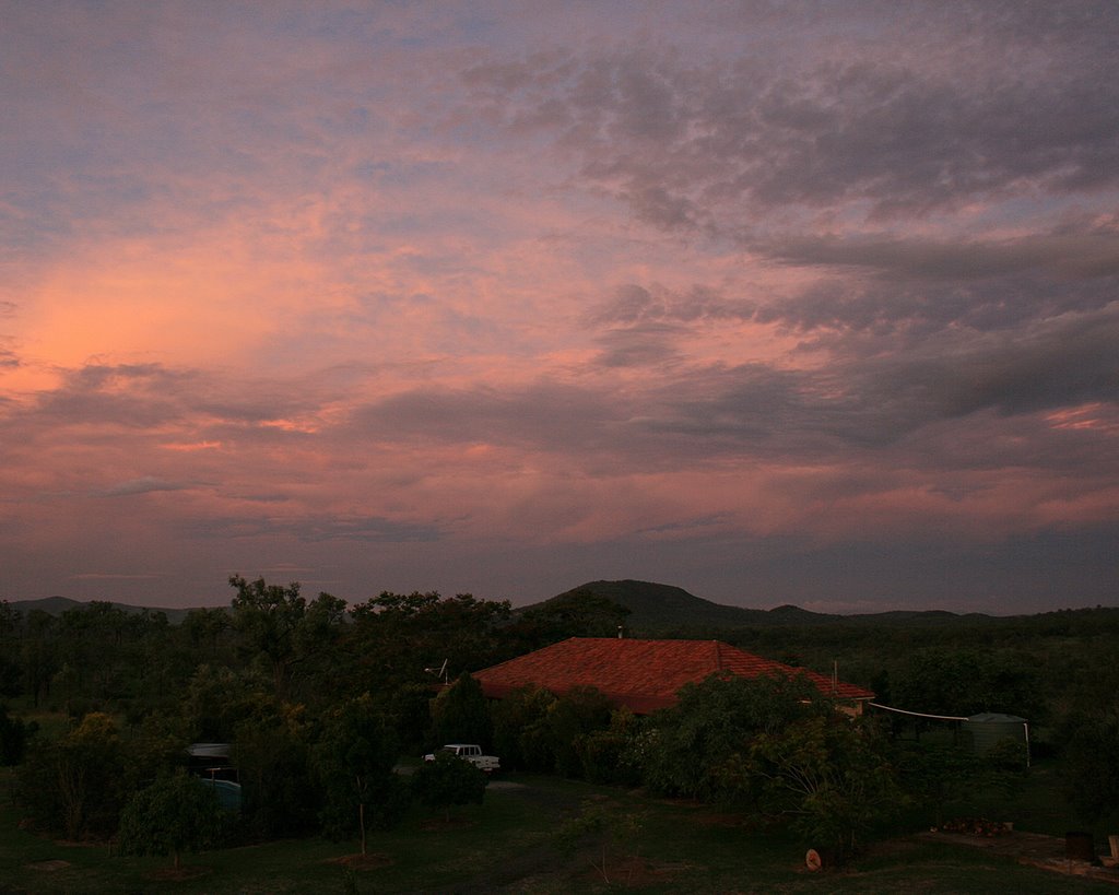
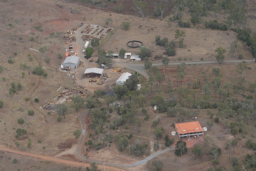
Photos of Westwood
Westwood Weather

Predicción: Scattered clouds
Temperatura: 21.1°
Humedad: 95%
Hora actual: 12:00 AM
Amanece: 08:13 PM
Anochece: 07:44 AM
Mt Larcom, Australia
Latitude: -23.8105 // Longitude: 150.979
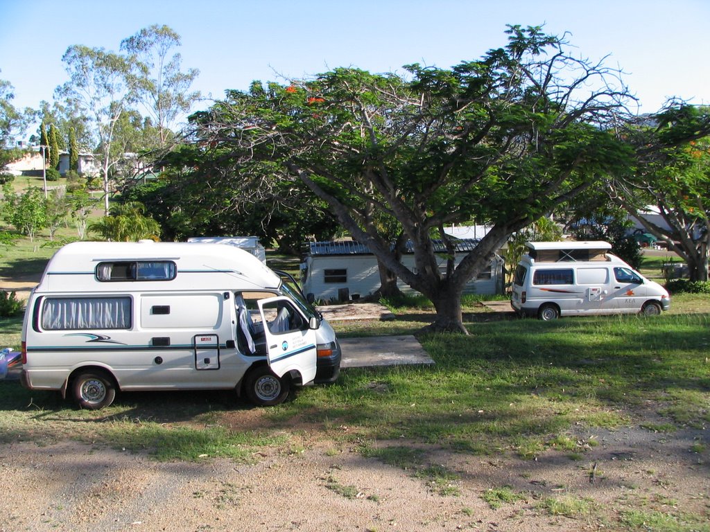
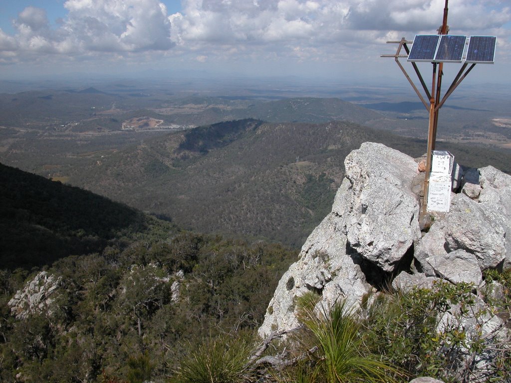
Photos of Mt Larcom
Mt Larcom Weather

Predicción: Broken clouds
Temperatura: 20.7°
Humedad: 93%
Hora actual: 12:00 AM
Amanece: 08:10 PM
Anochece: 07:40 AM


