Distance between  Westmere and
  Warburn
294.47 mi Straight Distance
406.94 mi Driving Distance
6 hours 50 mins Estimated Driving Time
The straight distance between Westmere (Victoria) and Warburn (New South Wales) is 294.47 mi, but the driving distance is 406.94 mi.
It takes to go from Westmere to Warburn.
Driving directions from Westmere to Warburn
Distance in kilometers
Straight distance: 473.81 km. Route distance: 654.76 km
Westmere, Australia
Latitude: -37.6907 // Longitude: 142.956
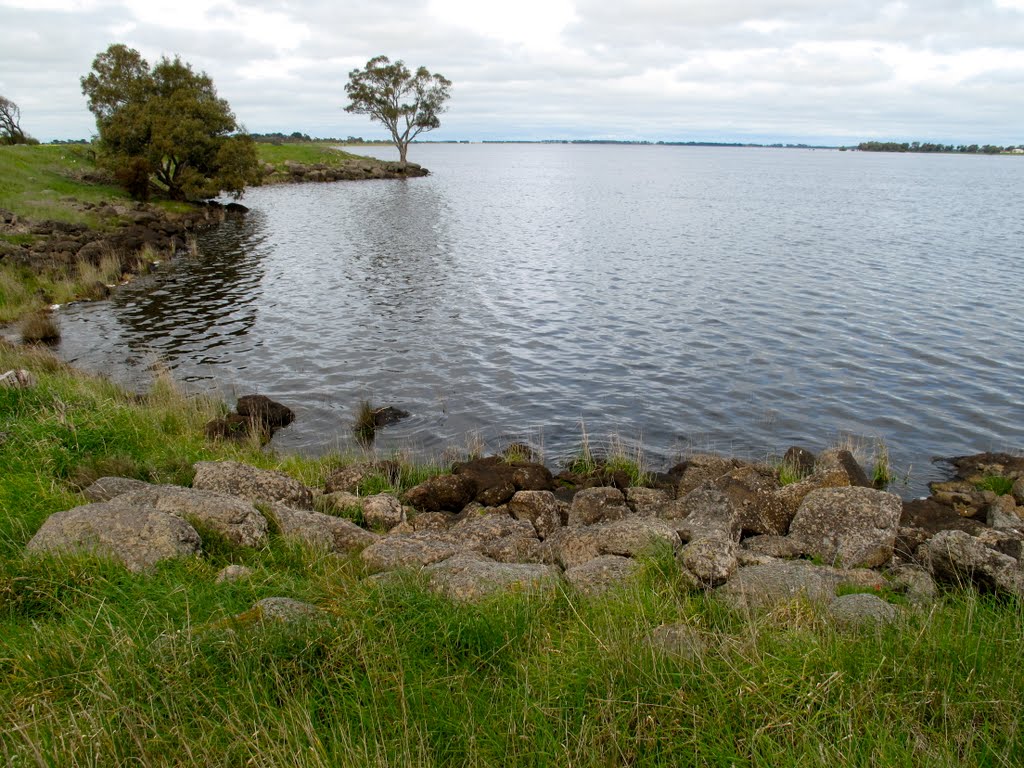
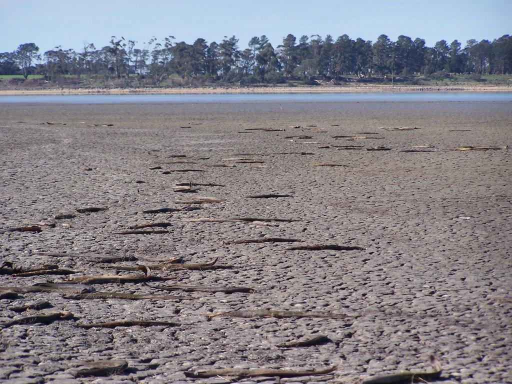
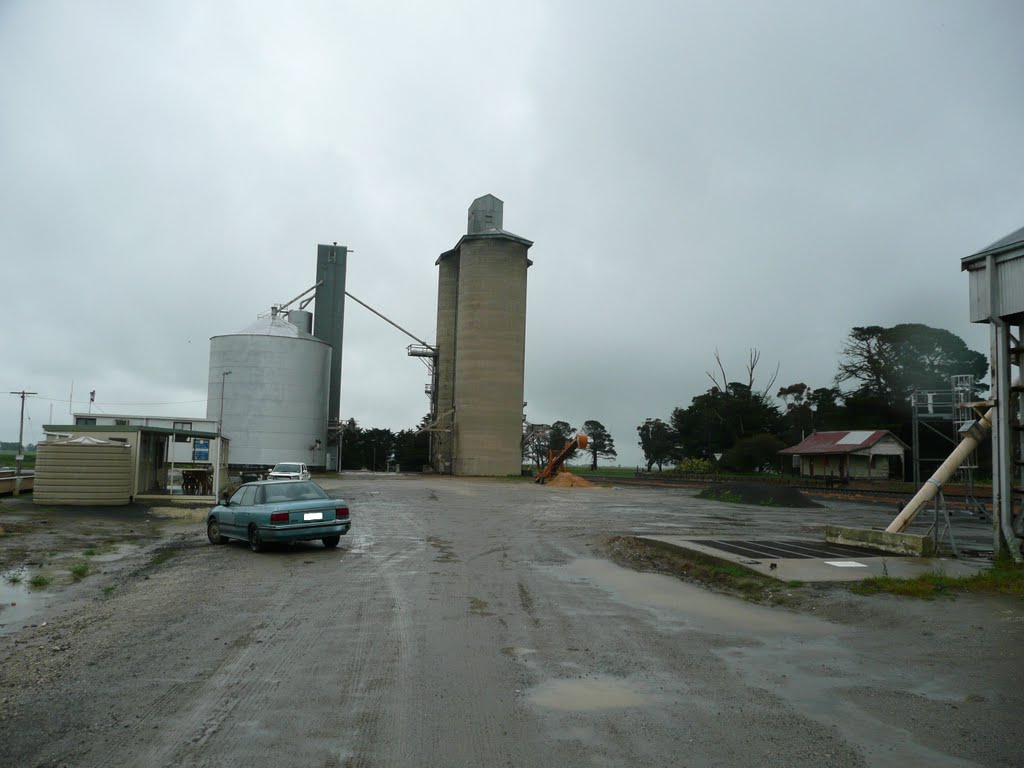
Photos of Westmere
Westmere Weather

Predicción: Overcast clouds
Temperatura: 10.5°
Humedad: 88%
Hora actual: 12:00 AM
Amanece: 08:57 PM
Anochece: 07:56 AM
Warburn, Australia
Latitude: -34.1768 // Longitude: 145.936
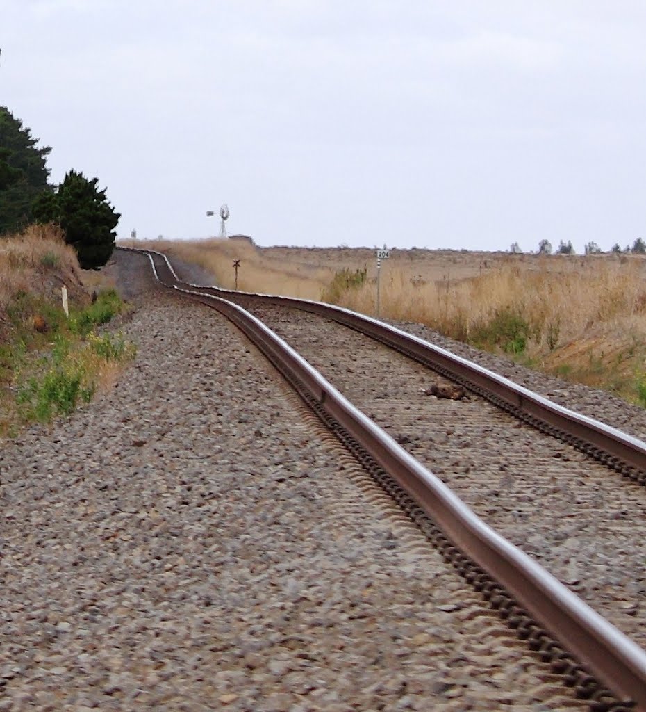
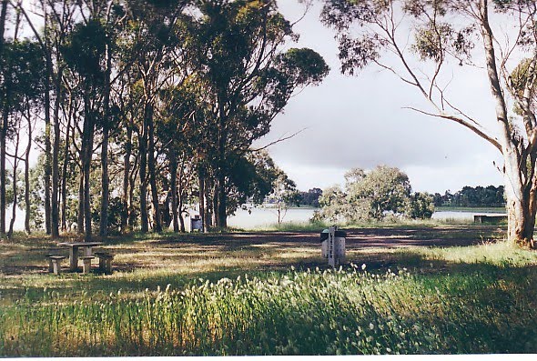
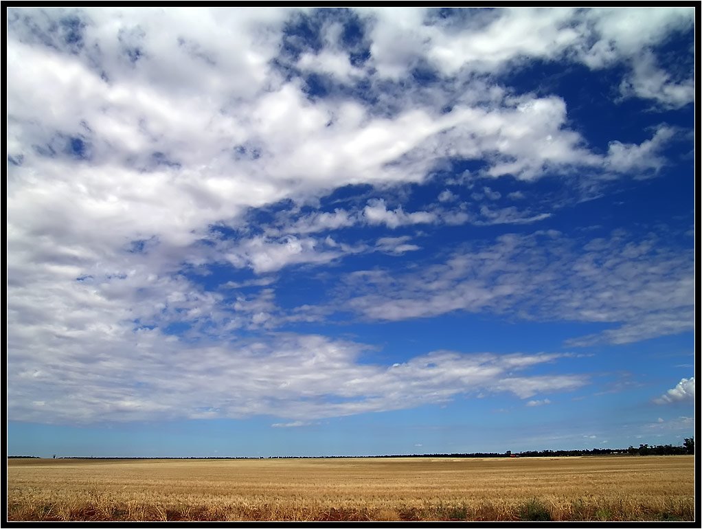
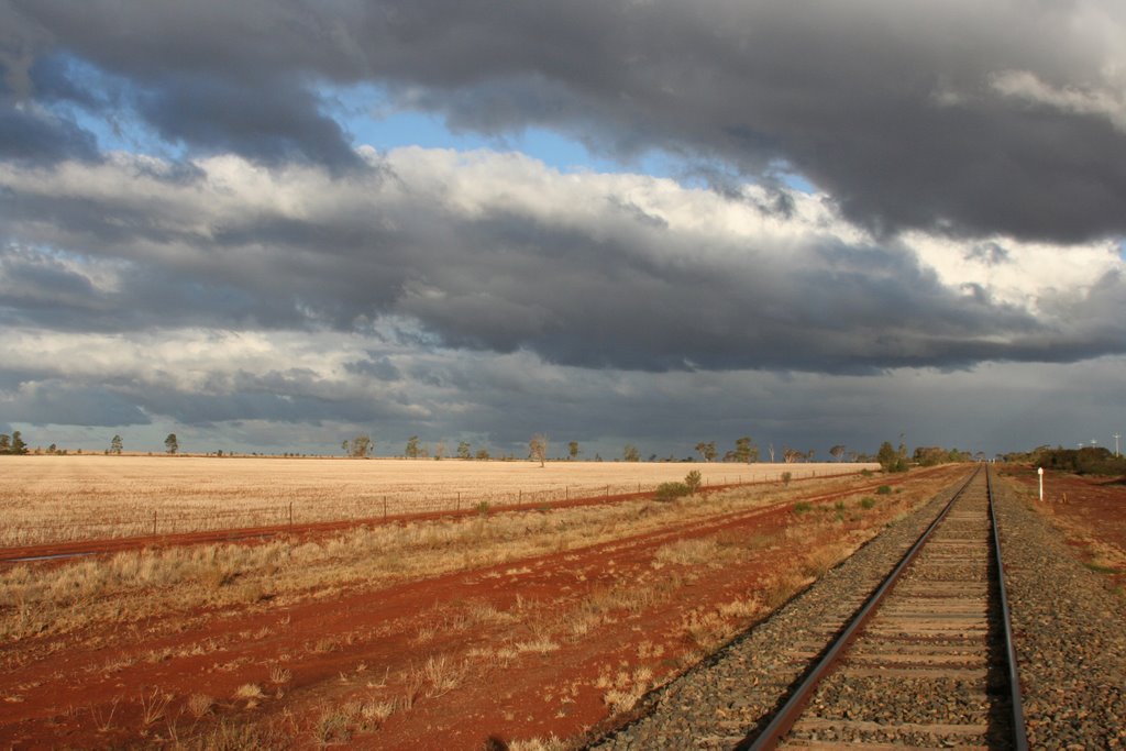
Photos of Warburn
Warburn Weather

Predicción: Light rain
Temperatura: 11.7°
Humedad: 71%
Hora actual: 07:11 AM
Amanece: 06:42 AM
Anochece: 05:48 PM


