Distance between  West Pine and
  Mersey Forest
48.72 mi Straight Distance
80.22 mi Driving Distance
2 hours 10 mins Estimated Driving Time
The straight distance between West Pine (Tasmania) and Mersey Forest (Tasmania) is 48.72 mi, but the driving distance is 80.22 mi.
It takes to go from West Pine to Mersey Forest.
Driving directions from West Pine to Mersey Forest
Distance in kilometers
Straight distance: 78.39 km. Route distance: 129.07 km
West Pine, Australia
Latitude: -41.1468 // Longitude: 145.997
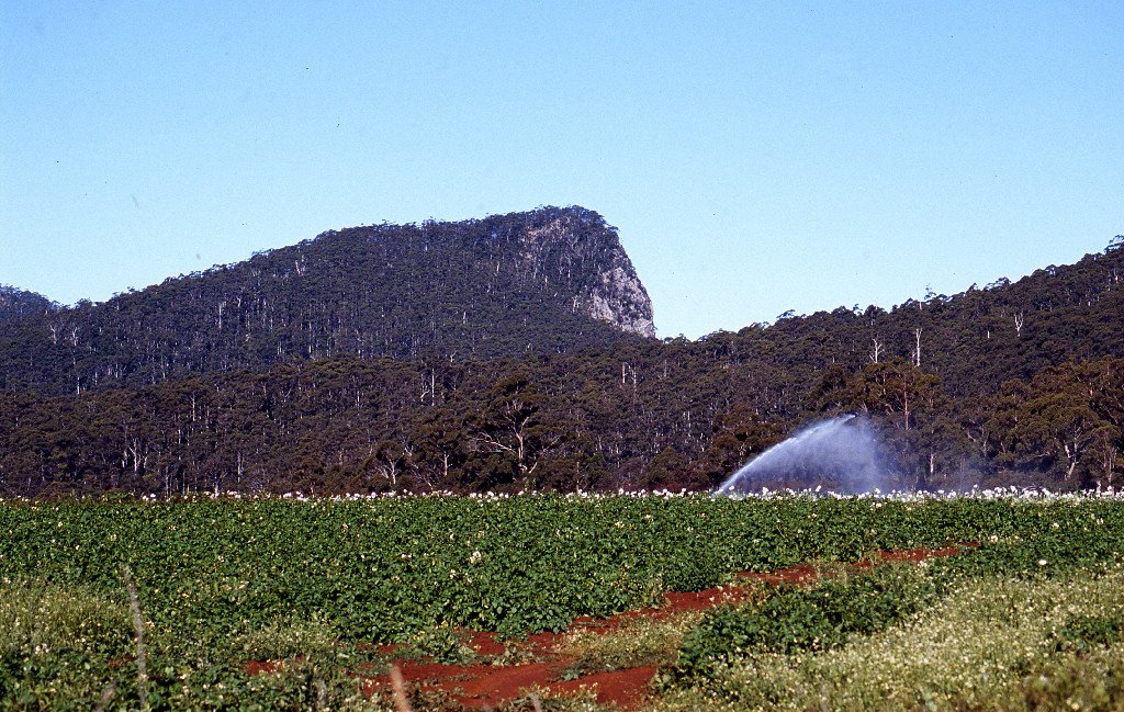
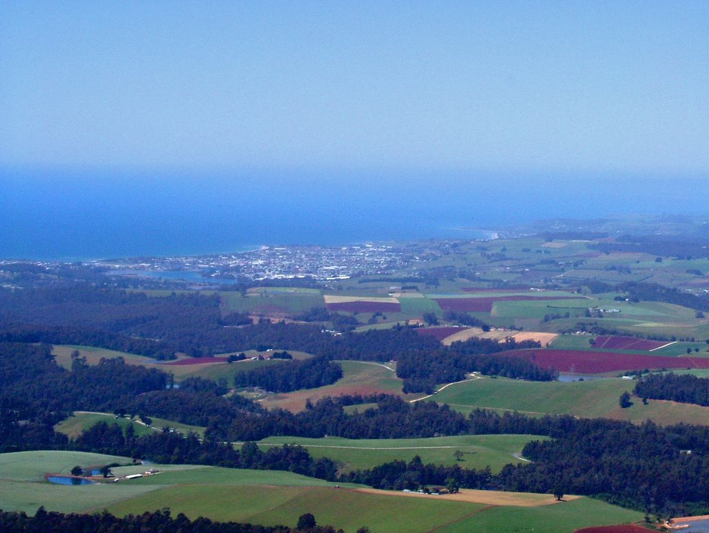
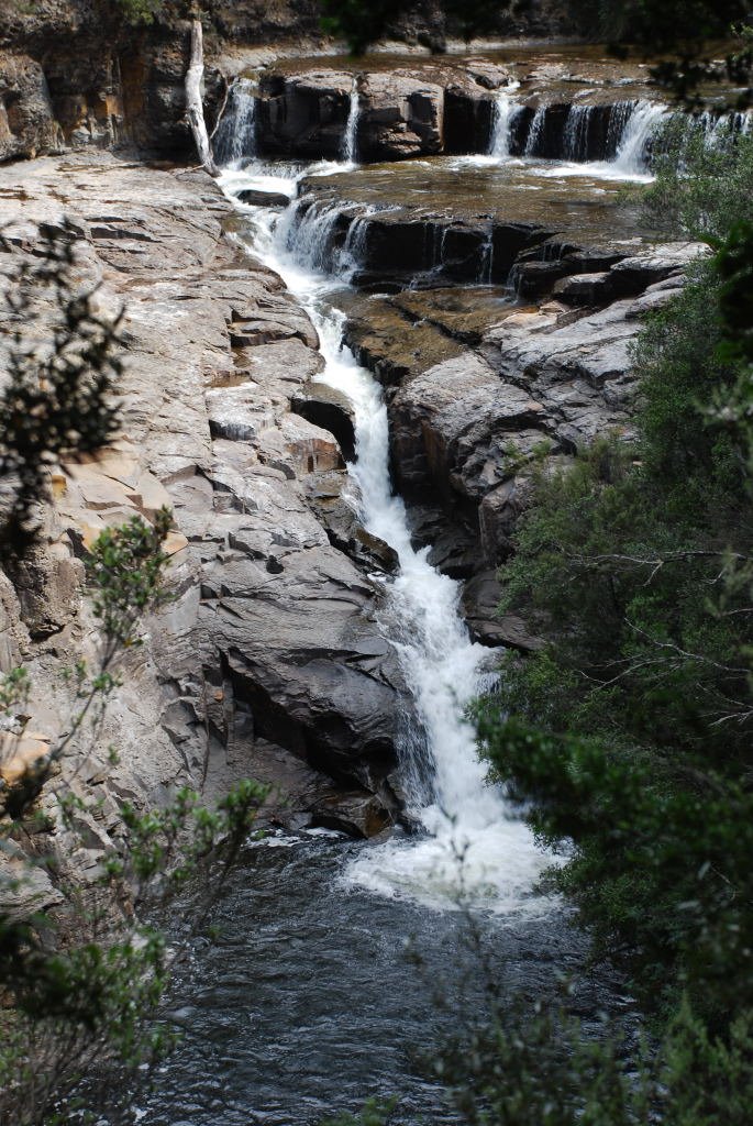
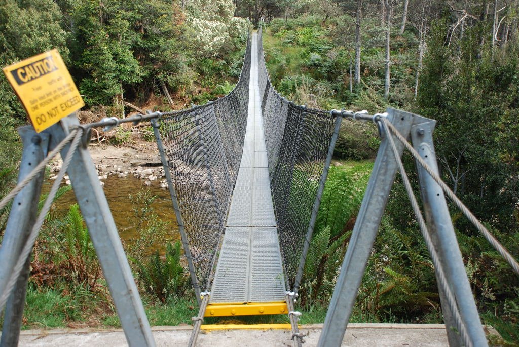
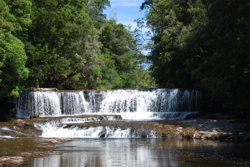
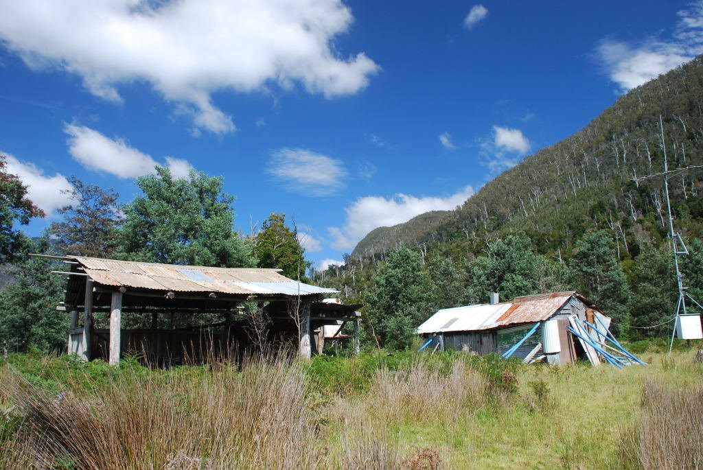
Photos of West Pine
West Pine Weather

Predicción: Clear sky
Temperatura: 14.6°
Humedad: 70%
Hora actual: 04:56 PM
Amanece: 06:49 AM
Anochece: 05:40 PM
Mersey Forest, Australia
Latitude: -41.8357 // Longitude: 146.198
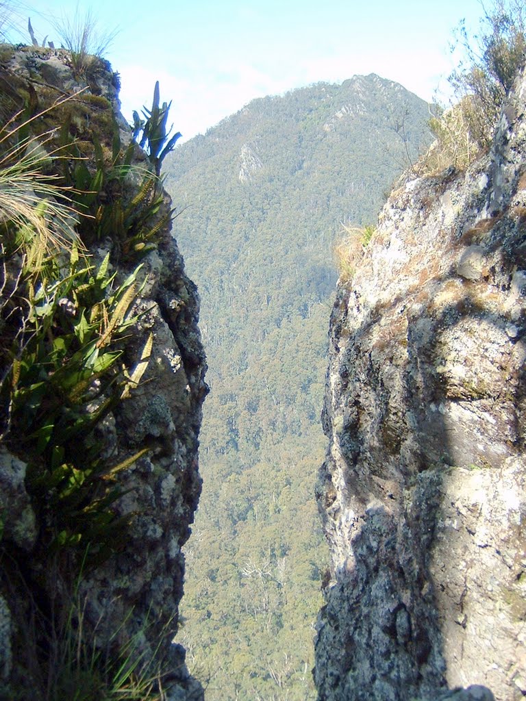
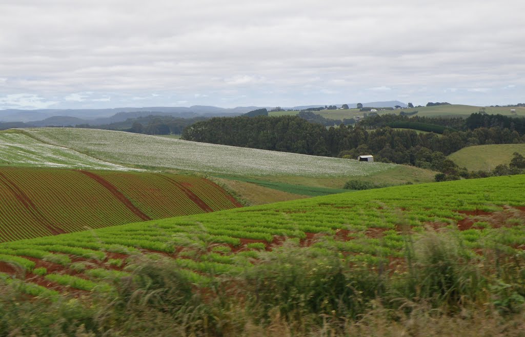
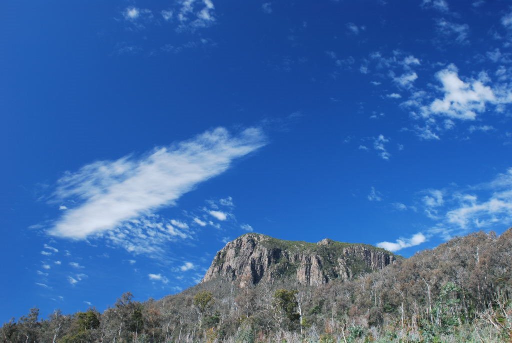
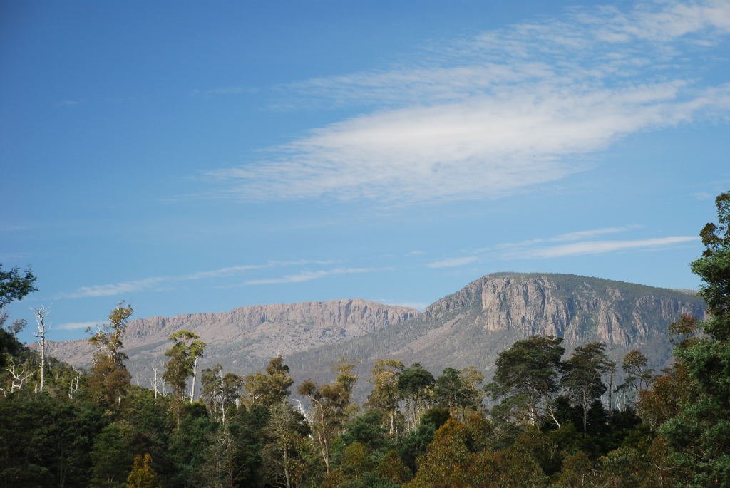
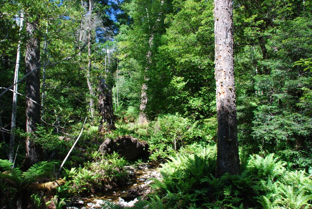
Photos of Mersey Forest
Mersey Forest Weather

Predicción: Overcast clouds
Temperatura: 7.7°
Humedad: 96%
Hora actual: 11:00 AM
Amanece: 06:49 AM
Anochece: 05:39 PM


