Distance between  West Montagu and
  Upper Blessington
146.87 mi Straight Distance
186.58 mi Driving Distance
3 hours 44 mins Estimated Driving Time
The straight distance between West Montagu (Tasmania) and Upper Blessington (Tasmania) is 146.87 mi, but the driving distance is 186.58 mi.
It takes 3 hours 43 mins to go from West Montagu to Upper Blessington.
Driving directions from West Montagu to Upper Blessington
Distance in kilometers
Straight distance: 236.31 km. Route distance: 300.20 km
West Montagu, Australia
Latitude: -40.782 // Longitude: 144.905
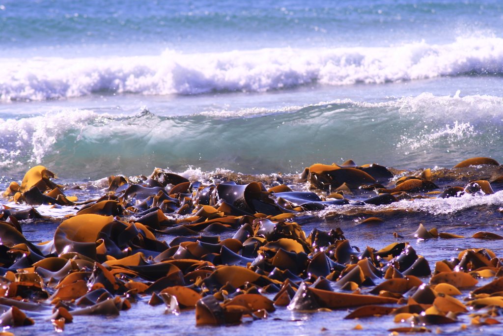
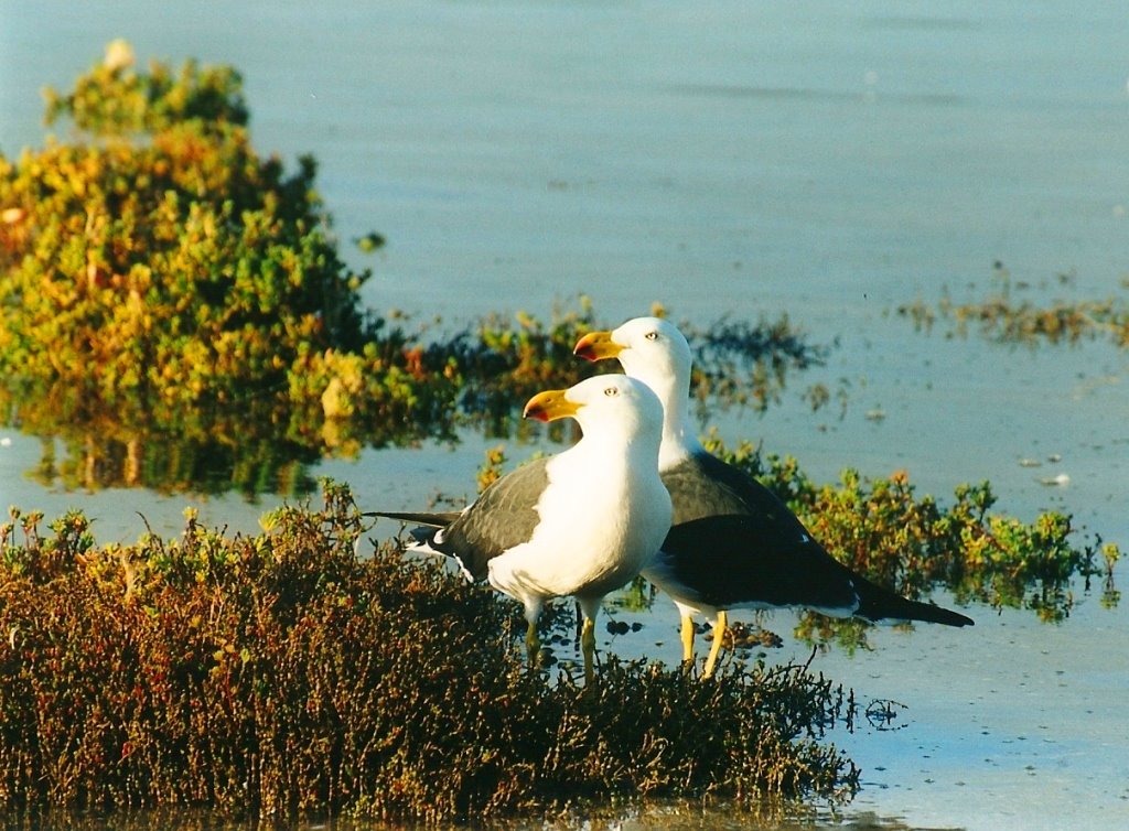
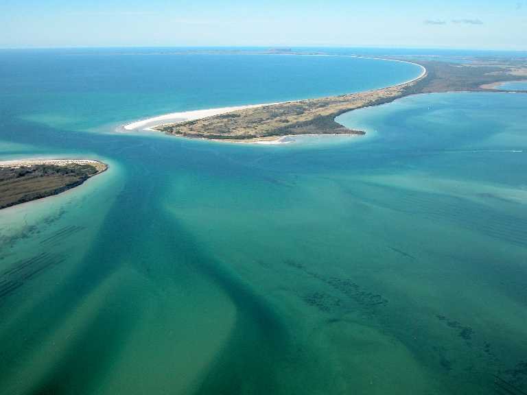
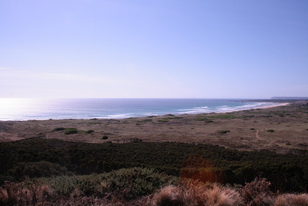
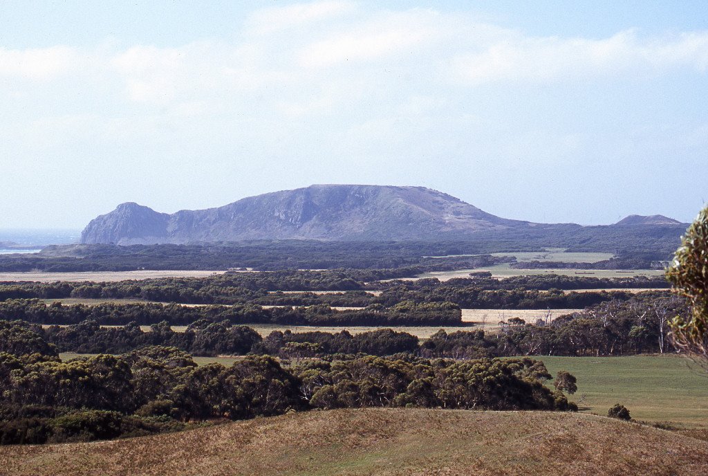
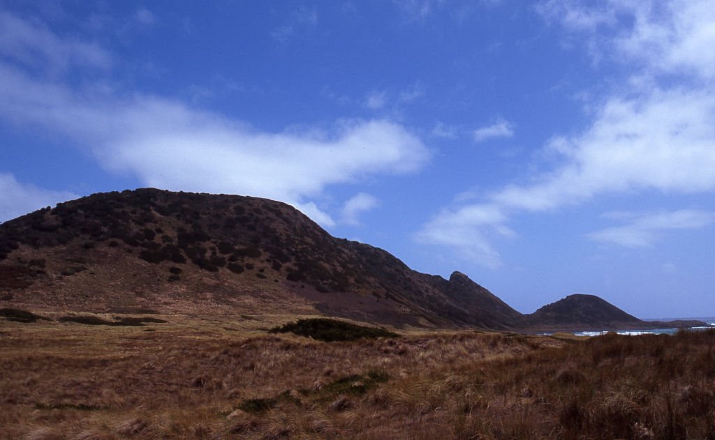
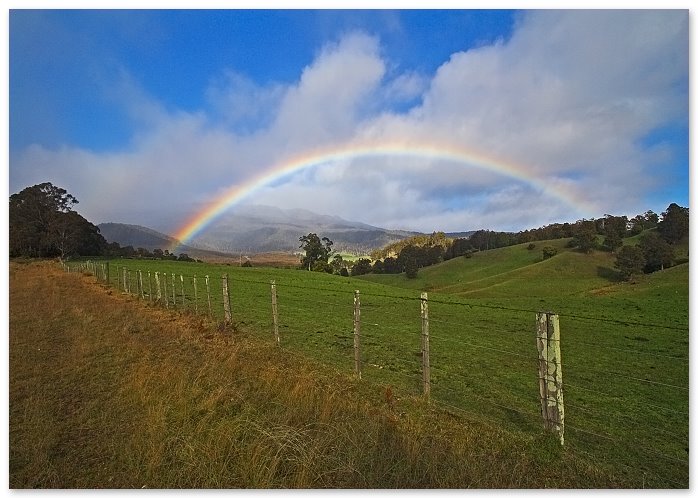
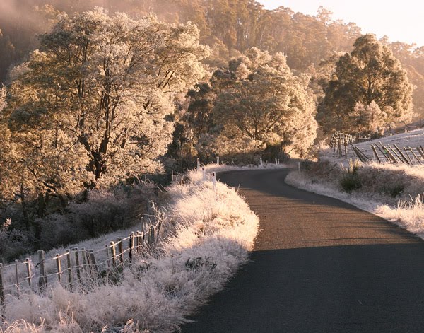
Photos of West Montagu
West Montagu Weather

Predicción: Scattered clouds
Temperatura: 13.7°
Humedad: 65%
Hora actual: 12:00 AM
Amanece: 08:51 PM
Anochece: 07:48 AM
Upper Blessington, Australia
Latitude: -41.4468 // Longitude: 147.585
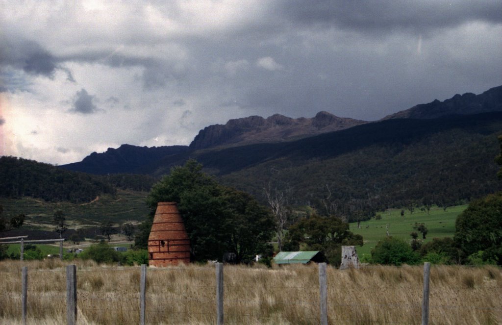
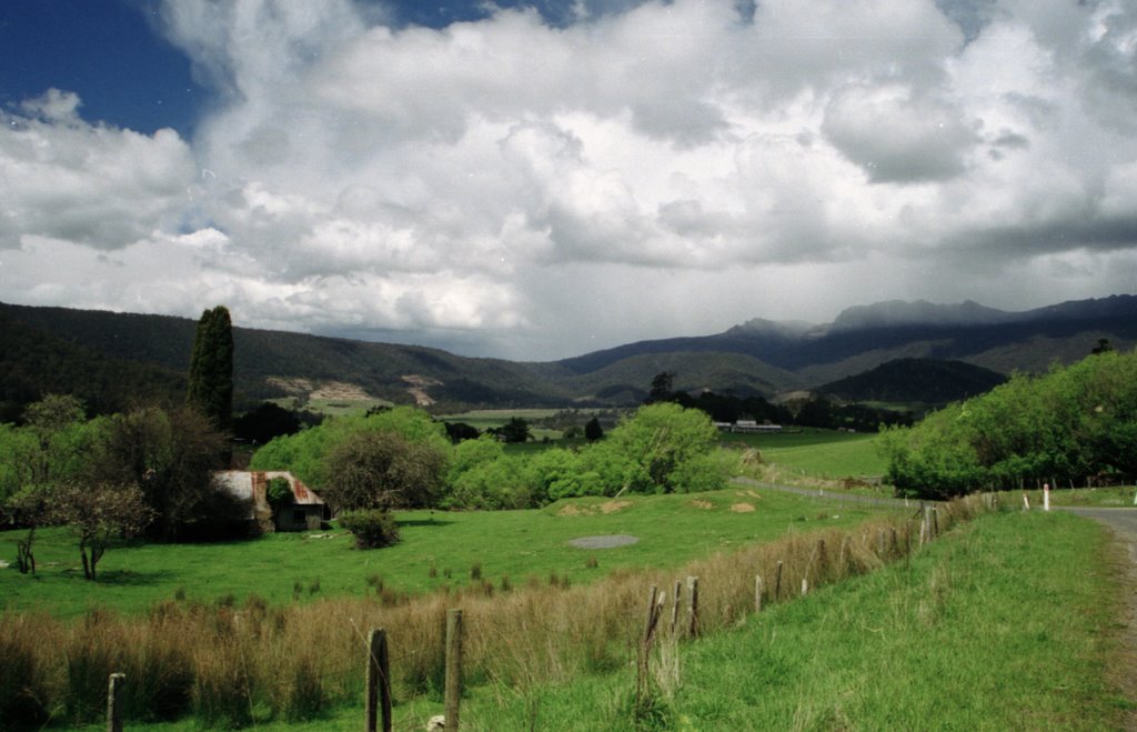
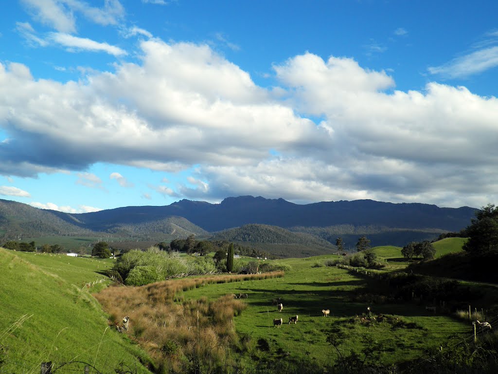
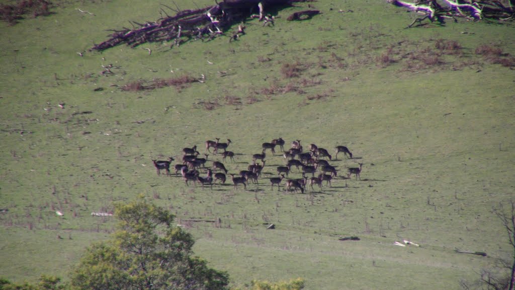
Photos of Upper Blessington
Upper Blessington Weather

Predicción: Overcast clouds
Temperatura: 13.1°
Humedad: 77%
Hora actual: 12:00 AM
Amanece: 08:42 PM
Anochece: 07:36 AM


