Distance between  Werai and
  Stannifer
330.43 mi Straight Distance
437.65 mi Driving Distance
7 hours 46 mins Estimated Driving Time
The straight distance between Werai (New South Wales) and Stannifer (New South Wales) is 330.43 mi, but the driving distance is 437.65 mi.
It takes to go from Werai to Stannifer.
Driving directions from Werai to Stannifer
Distance in kilometers
Straight distance: 531.67 km. Route distance: 704.18 km
Werai, Australia
Latitude: -34.6073 // Longitude: 150.356
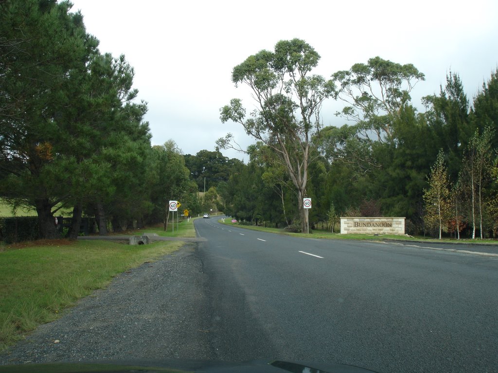
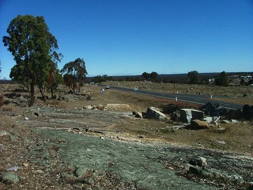
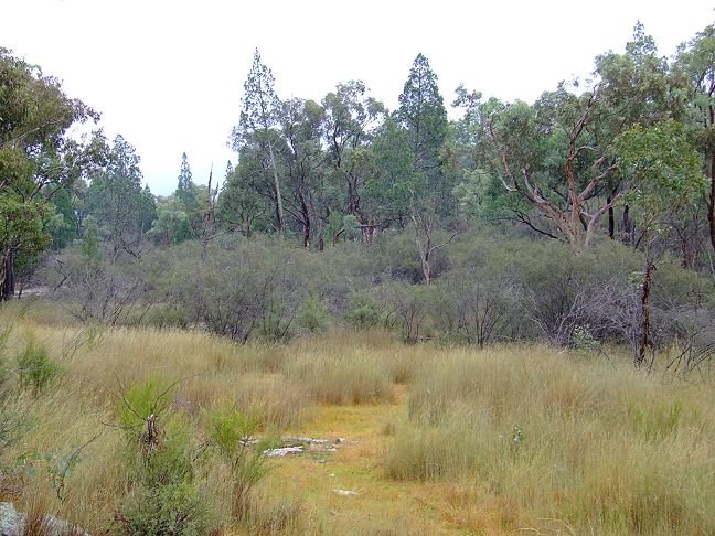
Photos of Werai
Werai Weather

Predicción: Overcast clouds
Temperatura: 9.6°
Humedad: 95%
Hora actual: 02:31 AM
Amanece: 06:23 AM
Anochece: 05:32 PM
Stannifer, Australia
Latitude: -29.8807 // Longitude: 151.218
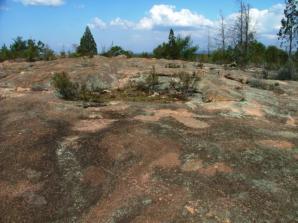
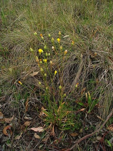
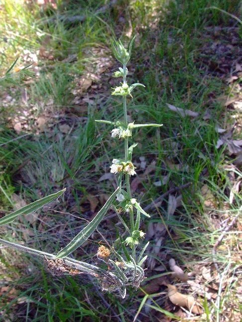
Photos of Stannifer
Stannifer Weather

Predicción: Scattered clouds
Temperatura: 13.5°
Humedad: 89%
Hora actual: 02:31 AM
Amanece: 06:15 AM
Anochece: 05:33 PM


