Distance between  Weerite and
  Sulky
Sulky
63.77 mi Straight Distance
85.87 mi Driving Distance
1 hour 54 mins Estimated Driving Time
The straight distance between Weerite (Victoria) and Sulky (Victoria) is 63.77 mi, but the driving distance is 85.87 mi.
It takes 1 hour 37 mins to go from Weerite to Sulky.
Driving directions from Weerite to Sulky
Distance in kilometers
Straight distance: 102.60 km. Route distance: 138.16 km
Weerite, Australia
Latitude: -38.2554 // Longitude: 143.241
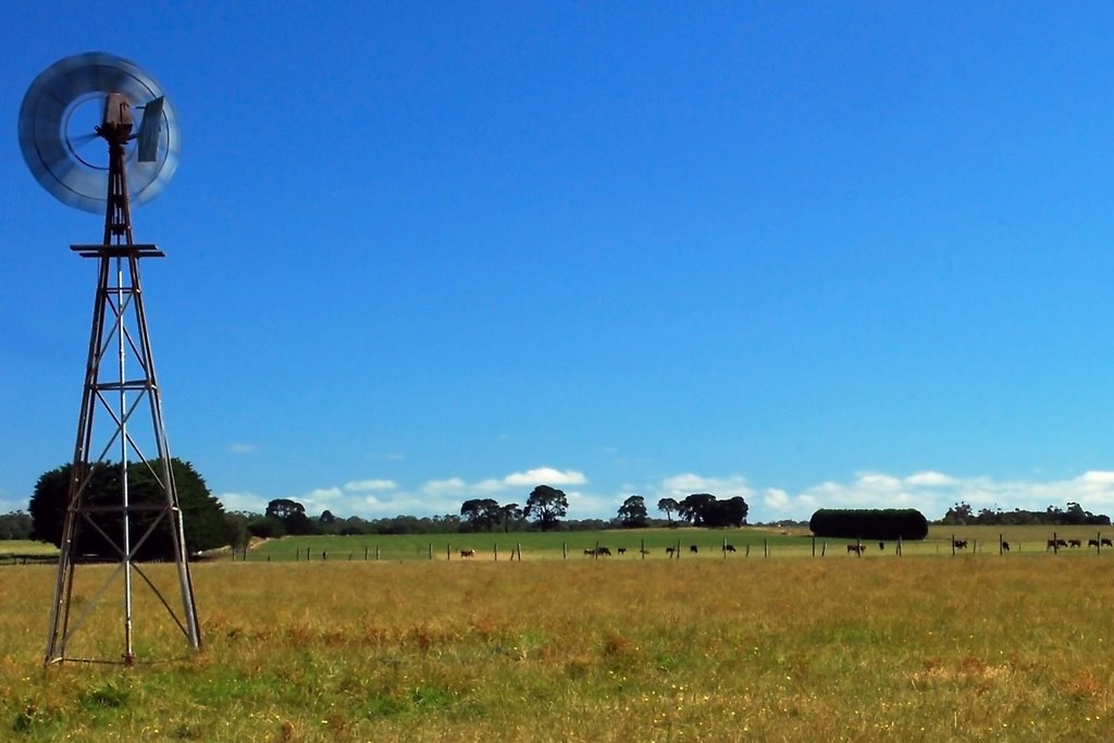
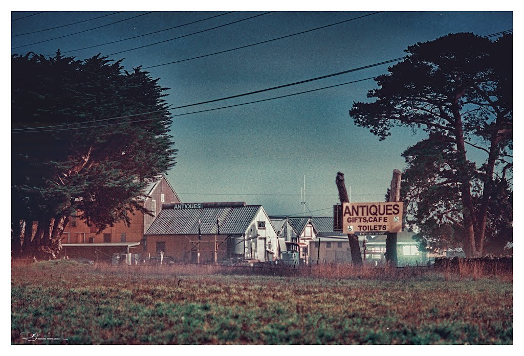
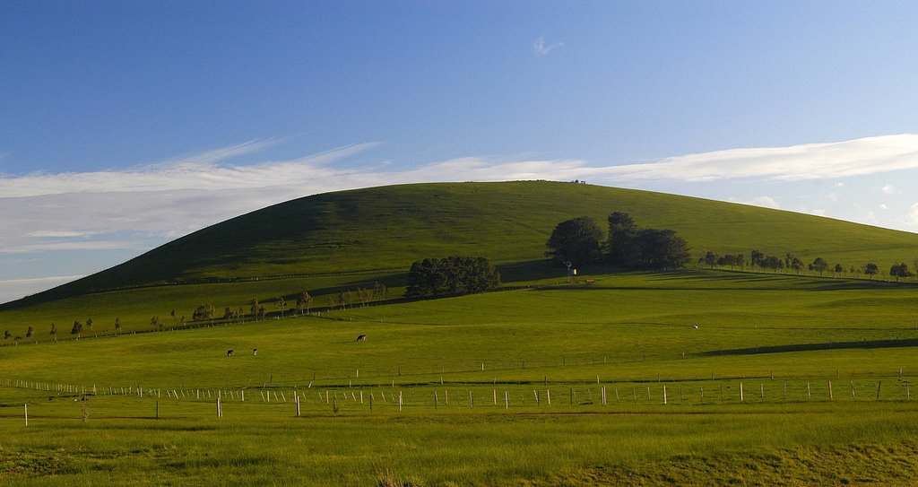
Photos of Weerite
Weerite Weather

Predicción: Clear sky
Temperatura: 15.1°
Humedad: 61%
Hora actual: 12:00 AM
Amanece: 08:58 PM
Anochece: 07:53 AM
Sulky, Australia
Latitude: -37.4633 // Longitude: 143.841
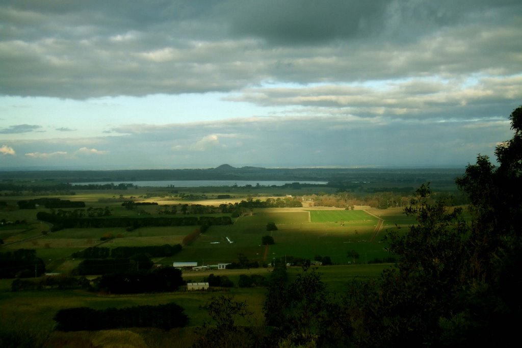
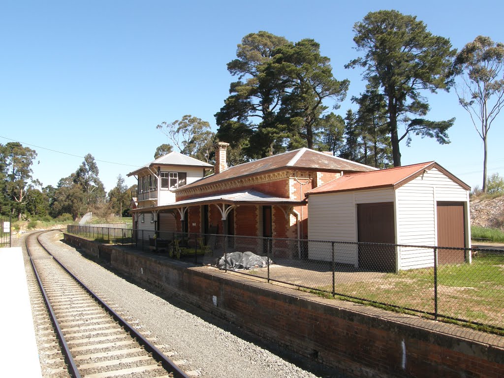
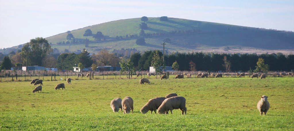
Photos of Sulky
Sulky Weather

Predicción: Broken clouds
Temperatura: 10.8°
Humedad: 91%
Hora actual: 11:03 AM
Amanece: 06:54 AM
Anochece: 05:52 PM


