Distance between  Weemelah and
  Sawtell
249.02 mi Straight Distance
314.38 mi Driving Distance
6 hours 7 mins Estimated Driving Time
The straight distance between Weemelah (New South Wales) and Sawtell (New South Wales) is 249.02 mi, but the driving distance is 314.38 mi.
It takes to go from Weemelah to Sawtell.
Driving directions from Weemelah to Sawtell
Distance in kilometers
Straight distance: 400.67 km. Route distance: 505.83 km
Weemelah, Australia
Latitude: -29.0173 // Longitude: 149.254
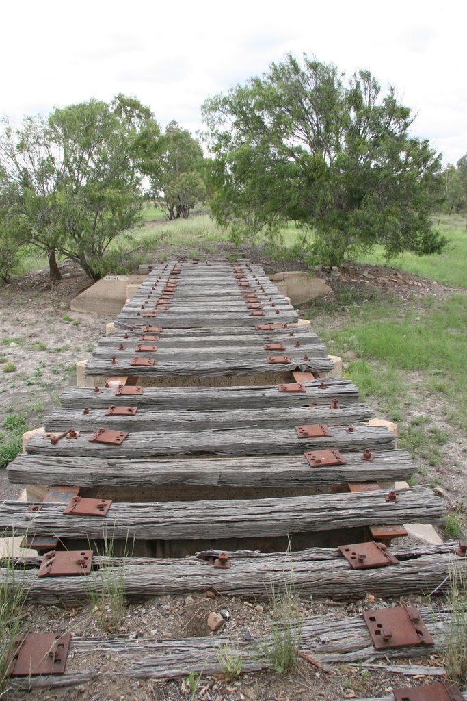
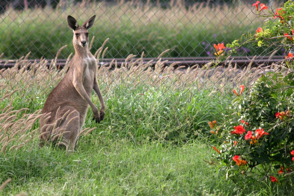
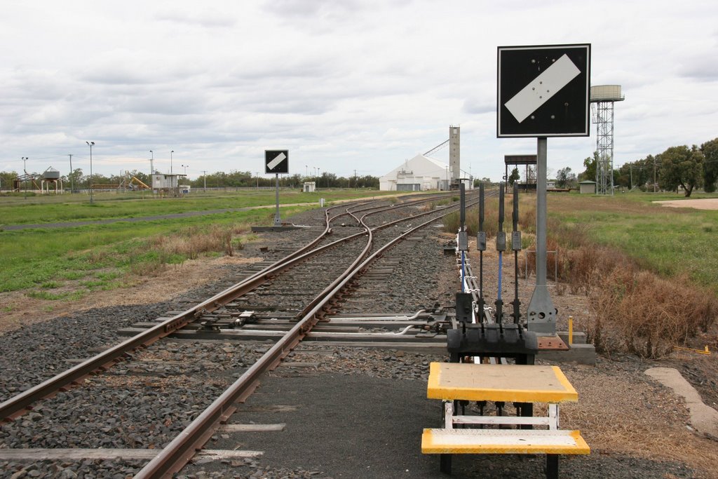
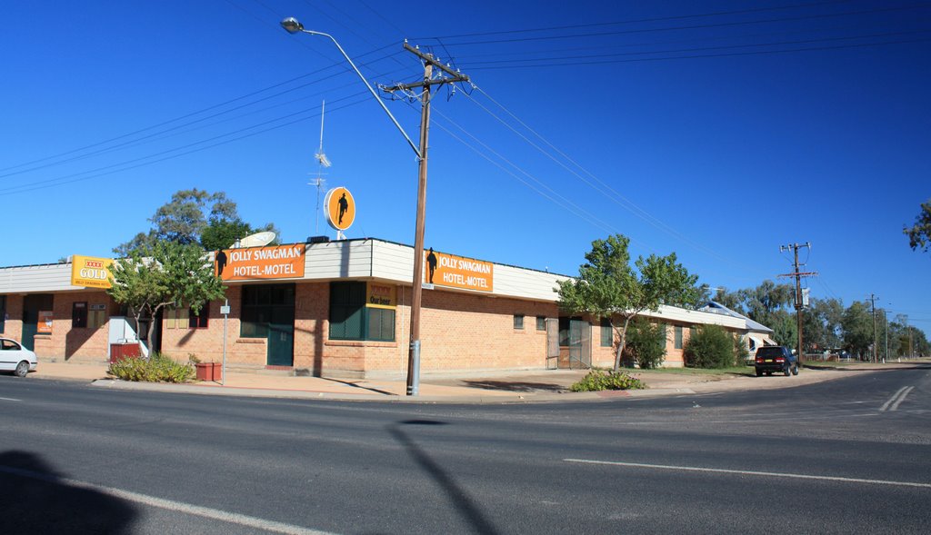
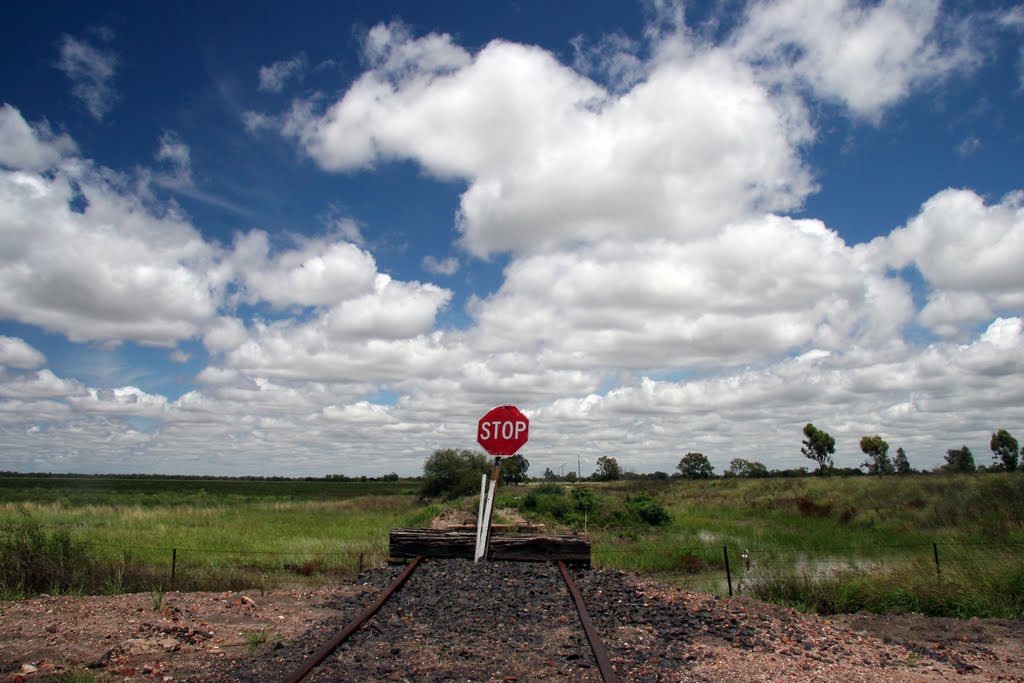
Photos of Weemelah
Weemelah Weather

Predicción: Clear sky
Temperatura: 16.4°
Humedad: 65%
Hora actual: 12:00 AM
Amanece: 08:23 PM
Anochece: 07:41 AM
Sawtell, Australia
Latitude: -30.3699 // Longitude: 153.1
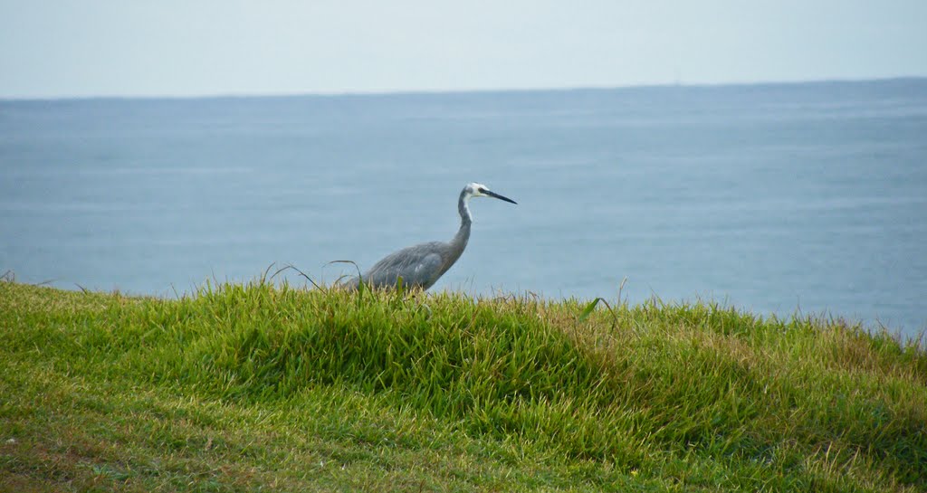
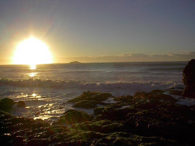
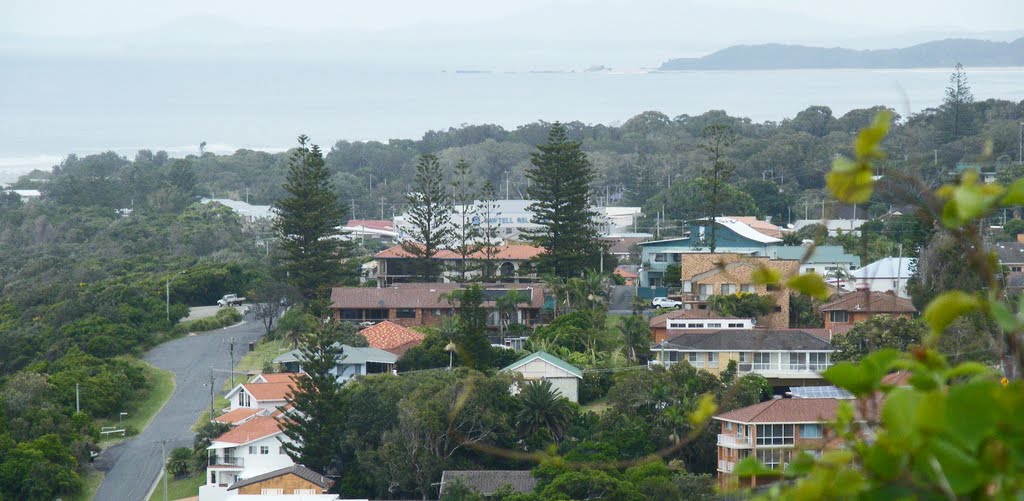
Photos of Sawtell
Sawtell Weather

Predicción: Clear sky
Temperatura: 16.0°
Humedad: 94%
Hora actual: 10:59 PM
Amanece: 06:08 AM
Anochece: 05:24 PM


