Distance between  Weatherboard and
  Tarrengower
35.72 mi Straight Distance
53.83 mi Driving Distance
1 hour 37 mins Estimated Driving Time
The straight distance between Weatherboard (Victoria) and Tarrengower (Victoria) is 35.72 mi, but the driving distance is 53.83 mi.
It takes 1 hour 51 mins to go from Weatherboard to Tarrengower.
Driving directions from Weatherboard to Tarrengower
Distance in kilometers
Straight distance: 57.47 km. Route distance: 86.61 km
Weatherboard, Australia
Latitude: -37.4459 // Longitude: 143.681
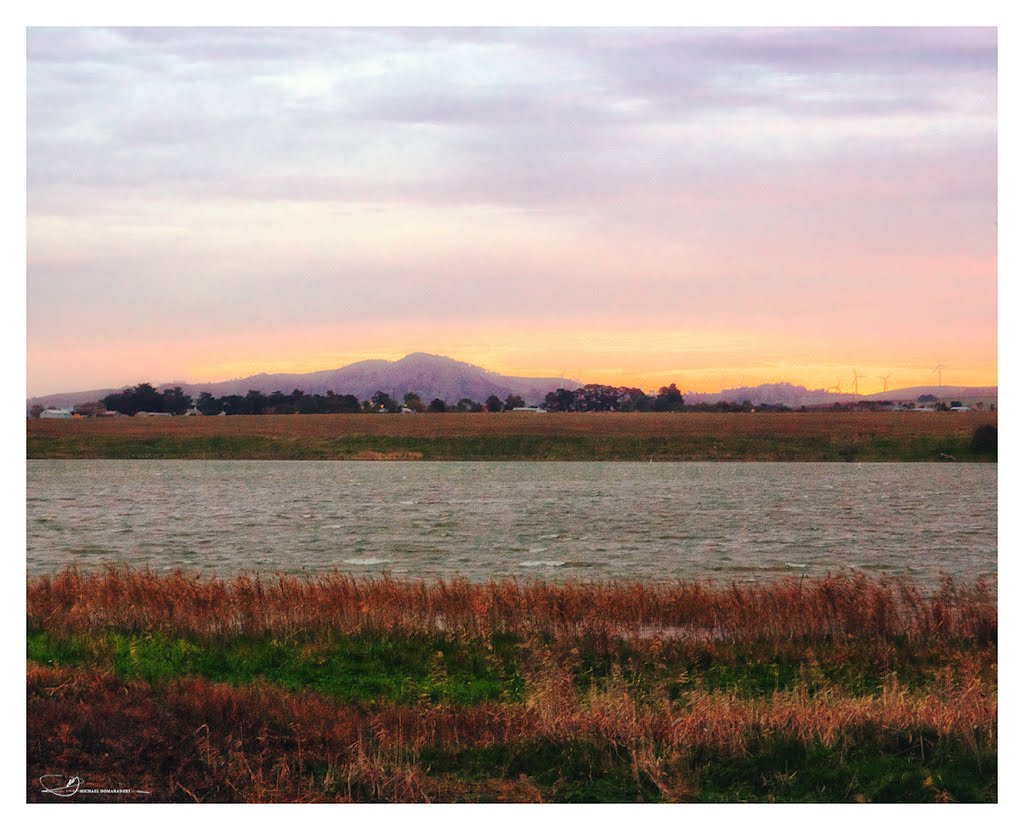
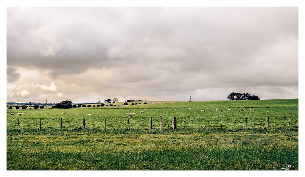
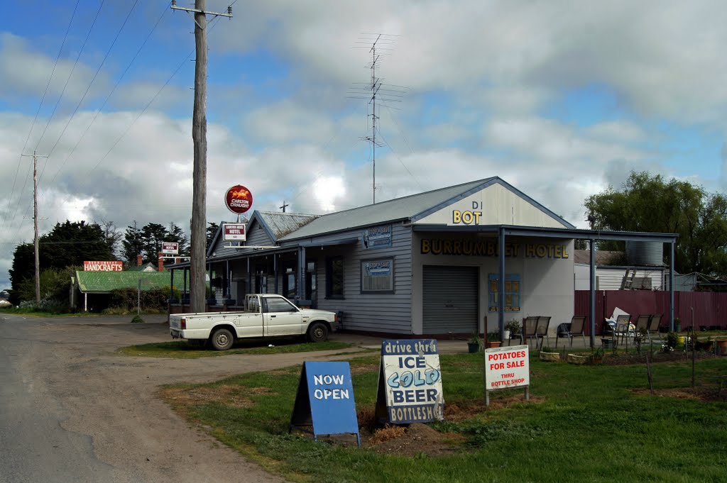
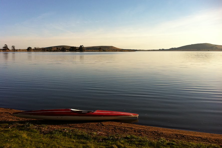
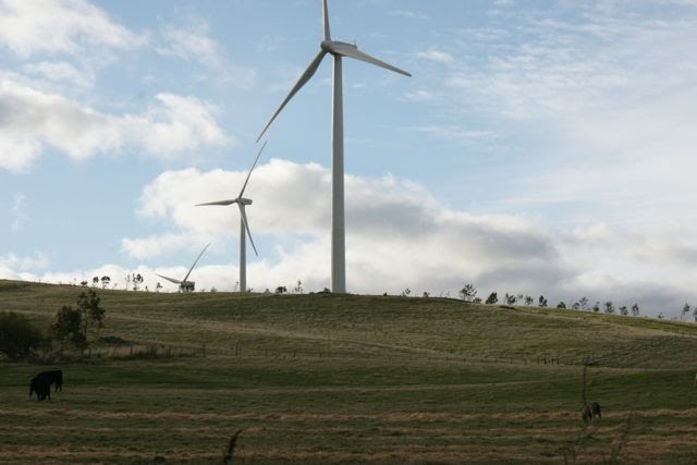
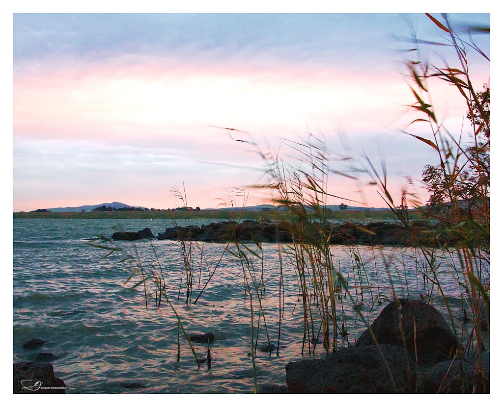
Photos of Weatherboard
Weatherboard Weather

Predicción: Overcast clouds
Temperatura: 12.0°
Humedad: 62%
Hora actual: 01:52 PM
Amanece: 06:54 AM
Anochece: 05:54 PM
Tarrengower, Australia
Latitude: -37.0031 // Longitude: 144.016
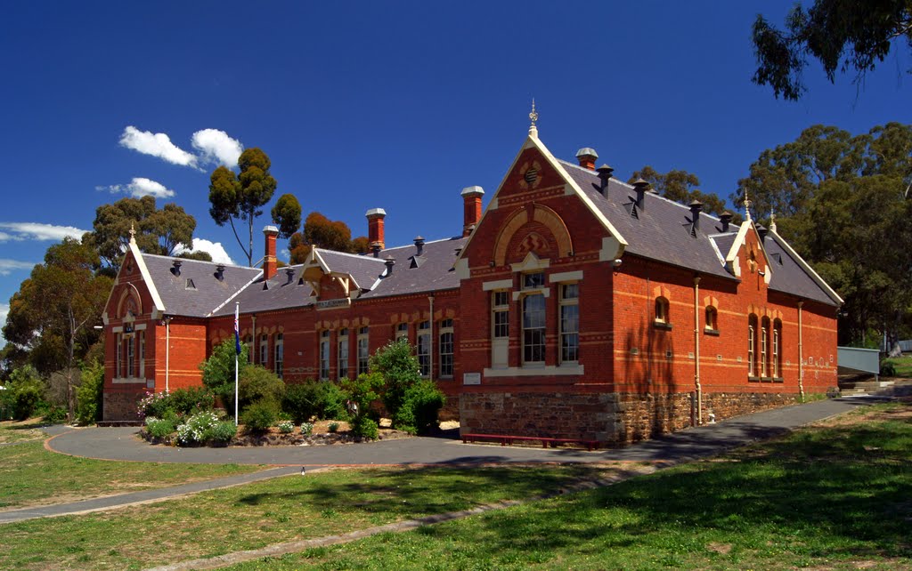
Photos of Tarrengower
Tarrengower Weather

Predicción: Broken clouds
Temperatura: 14.2°
Humedad: 48%
Hora actual: 01:52 PM
Amanece: 06:52 AM
Anochece: 05:53 PM


