Distance between  Waygara and
  Darkbonee
194.05 mi Straight Distance
253.09 mi Driving Distance
4 hours 25 mins Estimated Driving Time
The straight distance between Waygara (Victoria) and Darkbonee (Victoria) is 194.05 mi, but the driving distance is 253.09 mi.
It takes 6 hours 45 mins to go from Waygara to Darkbonee.
Driving directions from Waygara to Darkbonee
Distance in kilometers
Straight distance: 312.23 km. Route distance: 407.22 km
Waygara, Australia
Latitude: -37.7403 // Longitude: 148.314
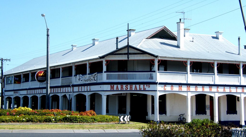
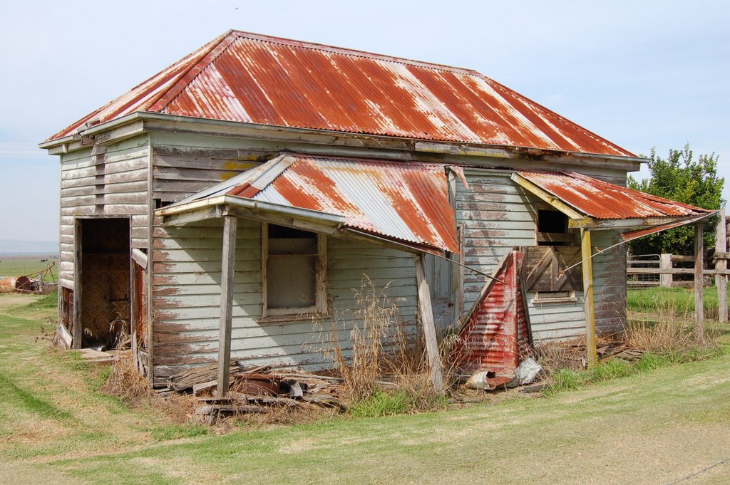
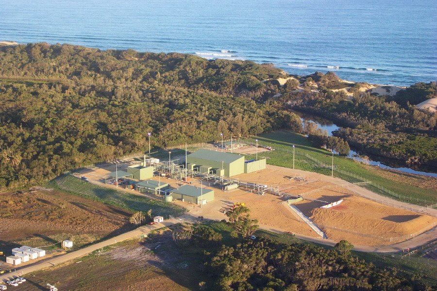
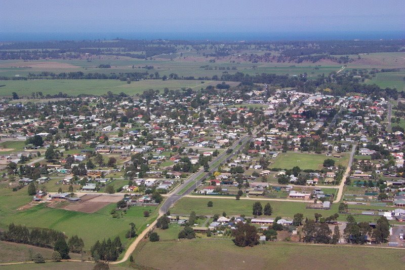
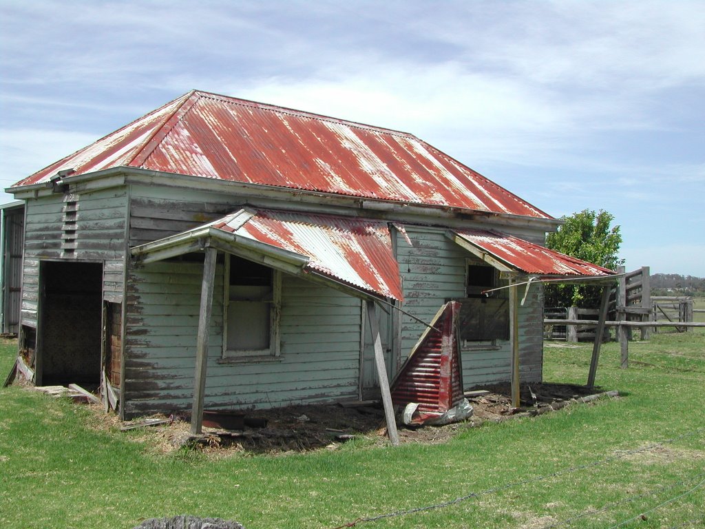
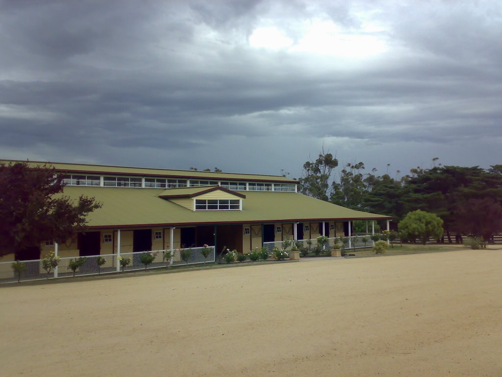
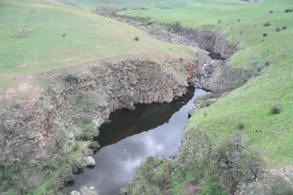
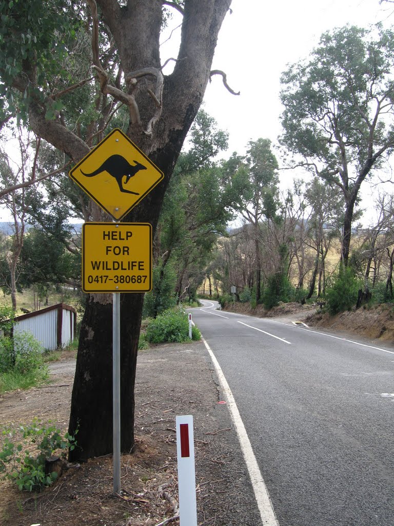
Photos of Waygara
Waygara Weather

Predicción: Overcast clouds
Temperatura: 11.9°
Humedad: 94%
Hora actual: 12:00 AM
Amanece: 08:36 PM
Anochece: 07:35 AM
Darkbonee, Australia
Latitude: -37.4713 // Longitude: 144.785
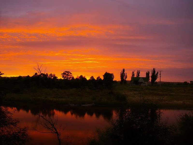
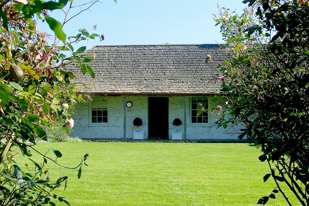
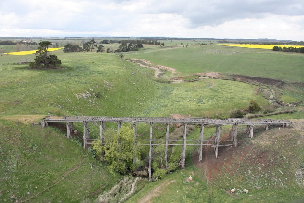
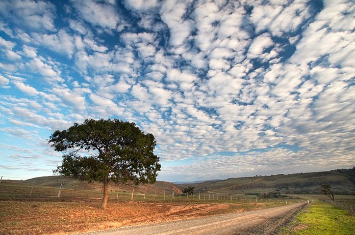
Photos of Darkbonee
Darkbonee Weather

Predicción: Broken clouds
Temperatura: 10.0°
Humedad: 95%
Hora actual: 12:00 AM
Amanece: 08:50 PM
Anochece: 07:49 AM


