Distance between  Warrigundi and
  Pretty Pine
439.64 mi Straight Distance
540.65 mi Driving Distance
9 hours 27 mins Estimated Driving Time
The straight distance between Warrigundi (New South Wales) and Pretty Pine (New South Wales) is 439.64 mi, but the driving distance is 540.65 mi.
It takes to go from Warrigundi to Pretty Pine.
Driving directions from Warrigundi to Pretty Pine
Distance in kilometers
Straight distance: 707.37 km. Route distance: 869.90 km
Warrigundi, Australia
Latitude: -31.292 // Longitude: 150.674
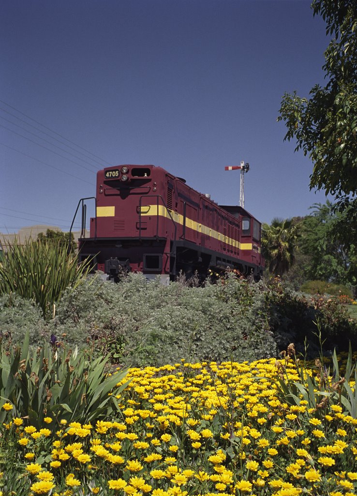
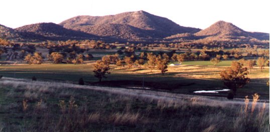
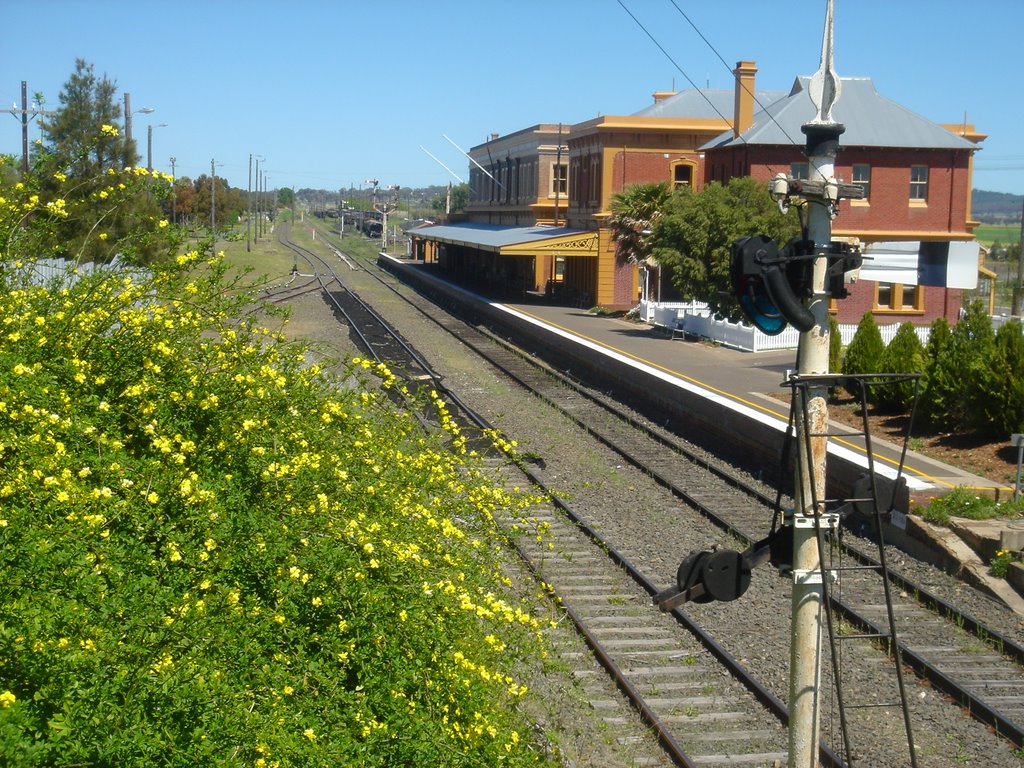
Photos of Warrigundi
Warrigundi Weather

Predicción: Light rain
Temperatura: 13.6°
Humedad: 62%
Hora actual: 09:08 AM
Amanece: 06:20 AM
Anochece: 05:32 PM
Pretty Pine, Australia
Latitude: -35.4157 // Longitude: 144.869
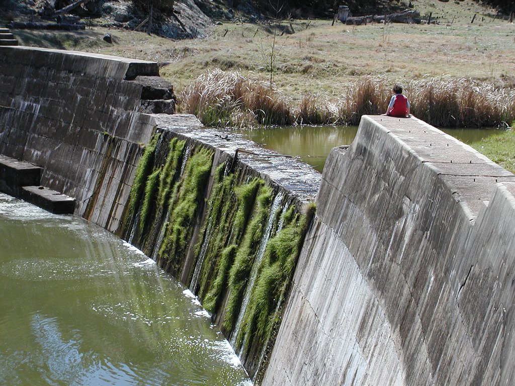
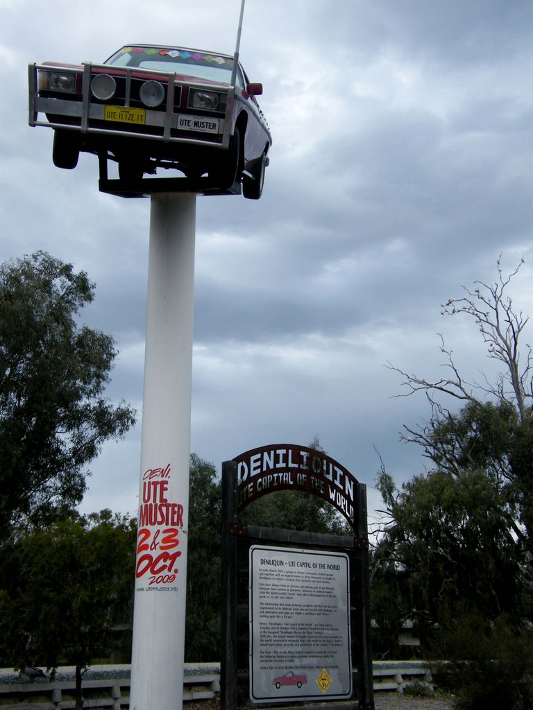
Photos of Pretty Pine
Pretty Pine Weather

Predicción: Overcast clouds
Temperatura: 14.9°
Humedad: 63%
Hora actual: 10:00 AM
Amanece: 06:48 AM
Anochece: 05:51 PM


