Distance between  Warrell Creek and
  Perisher Valley
467 mi Straight Distance
587.42 mi Driving Distance
9 hours 23 mins Estimated Driving Time
The straight distance between Warrell Creek (New South Wales) and Perisher Valley (New South Wales) is 467 mi, but the driving distance is 587.42 mi.
It takes to go from Warrell Creek to Perisher Valley.
Driving directions from Warrell Creek to Perisher Valley
Distance in kilometers
Straight distance: 751.41 km. Route distance: 945.15 km
Warrell Creek, Australia
Latitude: -30.7673 // Longitude: 152.895
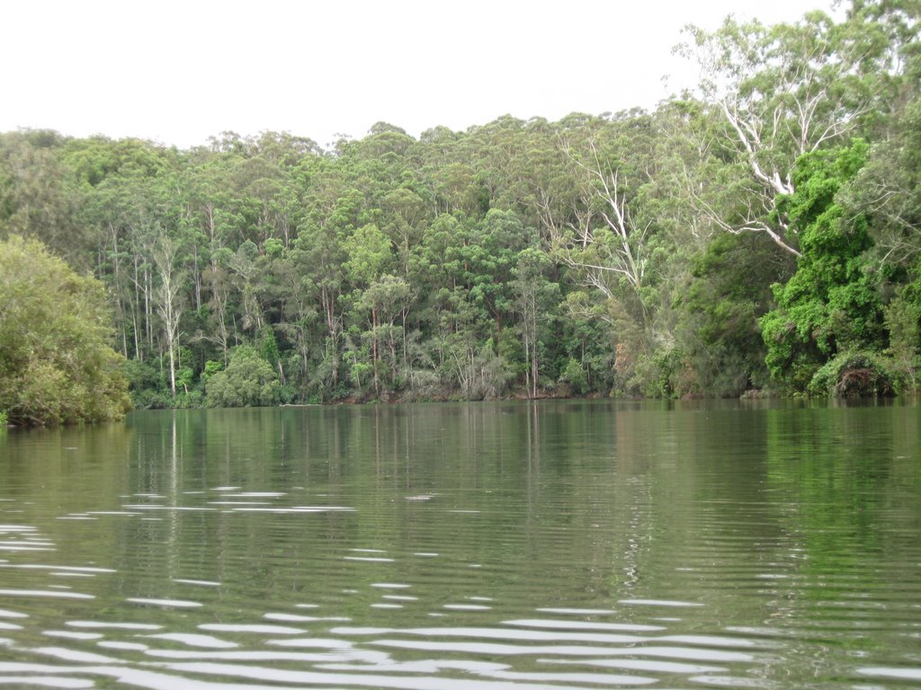
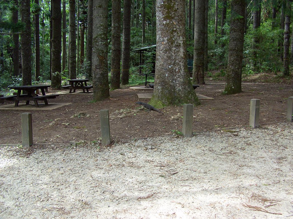
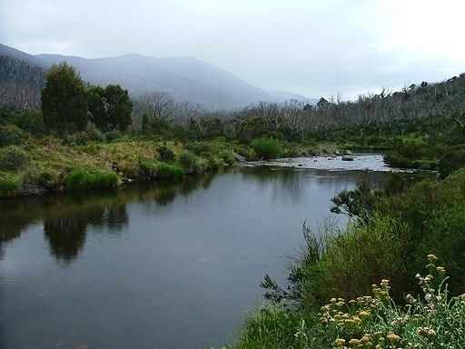
Photos of Warrell Creek
Warrell Creek Weather

Predicción: Clear sky
Temperatura: 23.3°
Humedad: 52%
Hora actual: 12:09 PM
Amanece: 06:10 AM
Anochece: 05:24 PM
Perisher Valley, Australia
Latitude: -36.4045 // Longitude: 148.414
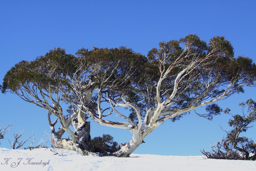
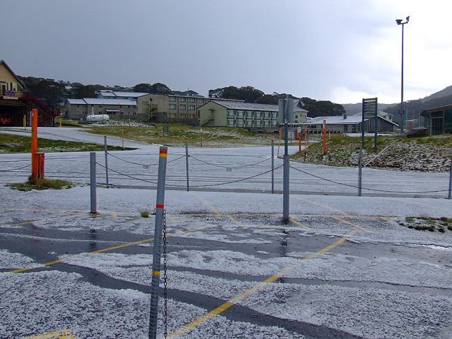
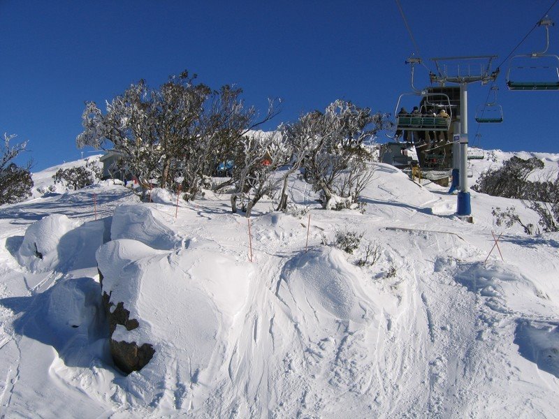
Photos of Perisher Valley
Perisher Valley Weather

Predicción: Overcast clouds
Temperatura: 5.6°
Humedad: 76%
Hora actual: 12:09 PM
Amanece: 06:35 AM
Anochece: 05:35 PM


