Distance between  Waranga Shores and
  Kalkee
158.77 mi Straight Distance
195.75 mi Driving Distance
3 hours 29 mins Estimated Driving Time
The straight distance between Waranga Shores (Victoria) and Kalkee (Victoria) is 158.77 mi, but the driving distance is 195.75 mi.
It takes to go from Waranga Shores to Kalkee.
Driving directions from Waranga Shores to Kalkee
Distance in kilometers
Straight distance: 255.46 km. Route distance: 314.97 km
Waranga Shores, Australia
Latitude: -36.5277 // Longitude: 145.069
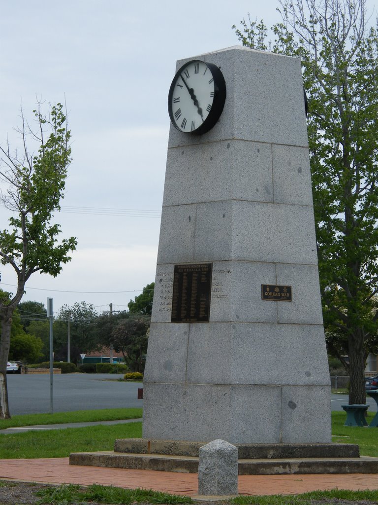
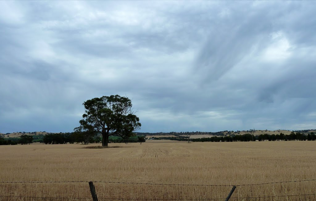
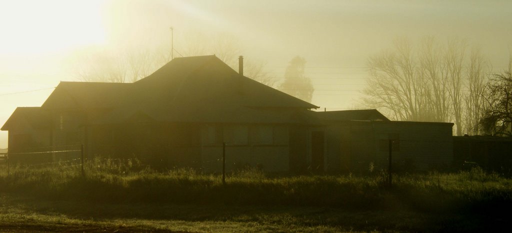
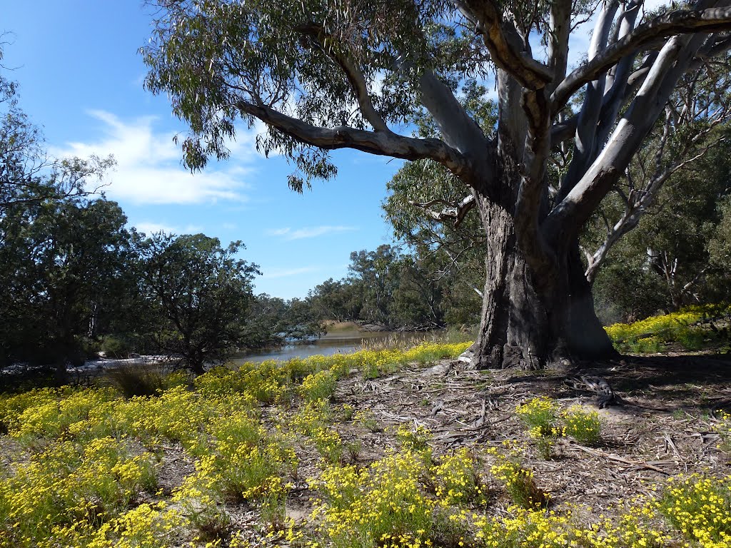
Photos of Waranga Shores
Waranga Shores Weather

Predicción: Broken clouds
Temperatura: 20.2°
Humedad: 41%
Hora actual: 04:52 PM
Amanece: 06:46 AM
Anochece: 05:52 PM
Kalkee, Australia
Latitude: -36.5471 // Longitude: 142.209
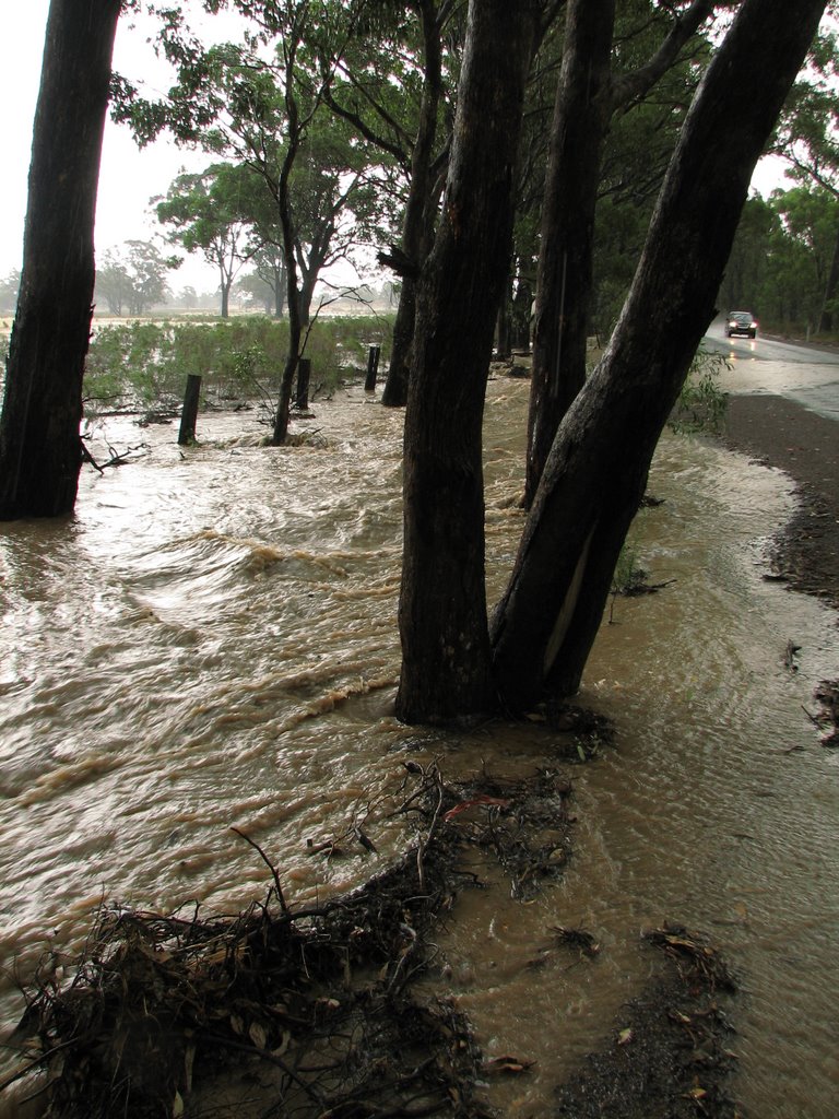
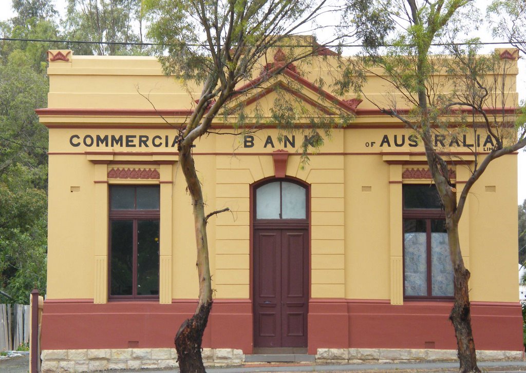
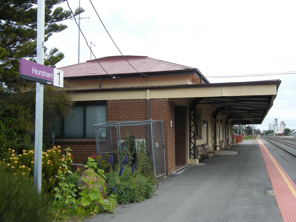
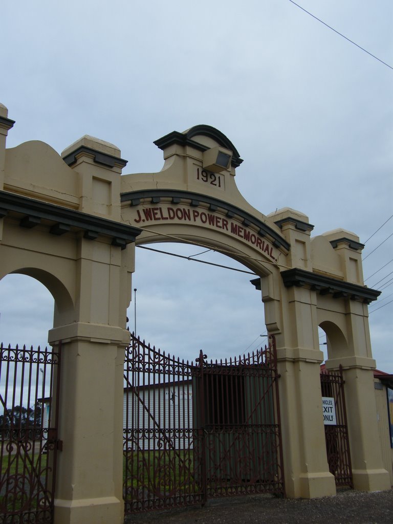
Photos of Kalkee
Kalkee Weather

Predicción: Broken clouds
Temperatura: 19.9°
Humedad: 39%
Hora actual: 10:00 AM
Amanece: 06:57 AM
Anochece: 06:04 PM


