
Distance between  Wangaratta South and
  Stratford
117.72 mi Straight Distance
182.06 mi Driving Distance
3 hours 14 mins Estimated Driving Time
The straight distance between Wangaratta South (Victoria) and Stratford (Victoria) is 117.72 mi, but the driving distance is 182.06 mi.
It takes 4 hours 59 mins to go from Wangaratta South to Stratford.
Driving directions from Wangaratta South to Stratford
Distance in kilometers
Straight distance: 189.41 km. Route distance: 292.93 km
Wangaratta South, Australia
Latitude: -36.3953 // Longitude: 146.253
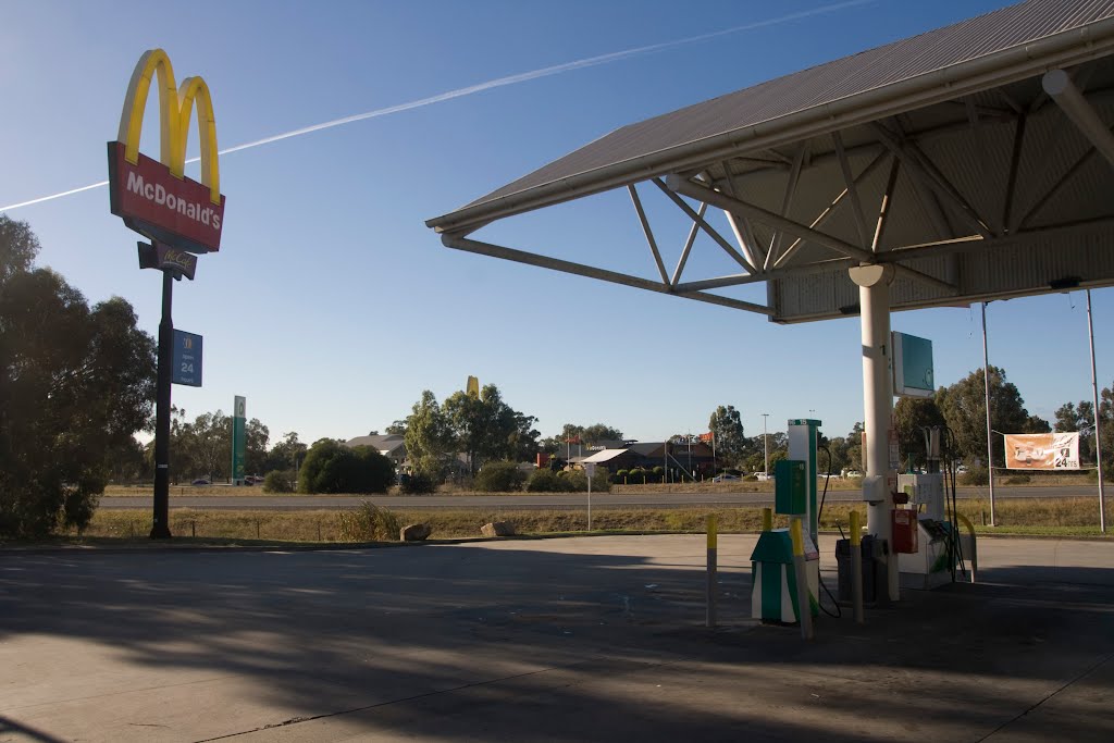
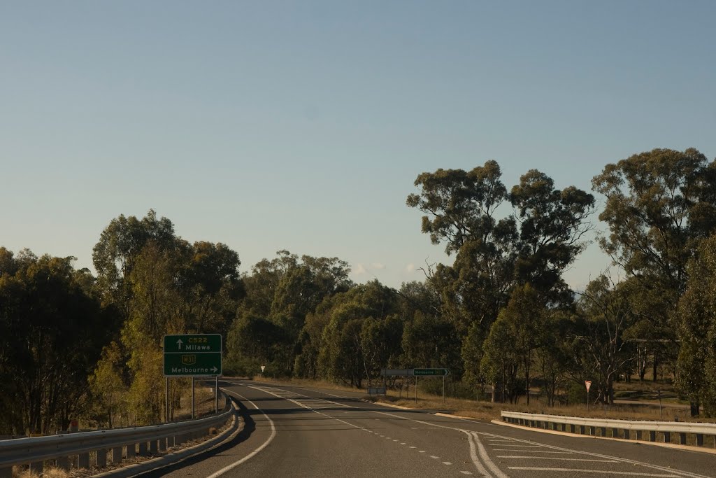
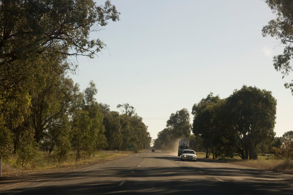
Photos of Wangaratta South


Wangaratta South Weather

Predicción: Broken clouds
Temperatura: 10.6°
Humedad: 62%
Hora actual: 10:11 PM
Amanece: 06:42 AM
Anochece: 05:45 PM
Stratford, Australia
Latitude: -37.9662 // Longitude: 147.081
Photos of Stratford


Stratford Weather
Predicción: Broken clouds
Temperatura: 10.5°
Humedad: 75%
Hora actual: 10:11 PM
Amanece: 06:41 AM
Anochece: 05:40 PM


