
Distance between  Wangaratta South and
  Cabbage Tree Creek
163.15 mi Straight Distance
237.02 mi Driving Distance
4 hours 30 mins Estimated Driving Time
The straight distance between Wangaratta South (Victoria) and Cabbage Tree Creek (Victoria) is 163.15 mi, but the driving distance is 237.02 mi.
It takes to go from Wangaratta South to Cabbage Tree Creek.
Driving directions from Wangaratta South to Cabbage Tree Creek
Distance in kilometers
Straight distance: 262.52 km. Route distance: 381.37 km
Wangaratta South, Australia
Latitude: -36.3953 // Longitude: 146.253
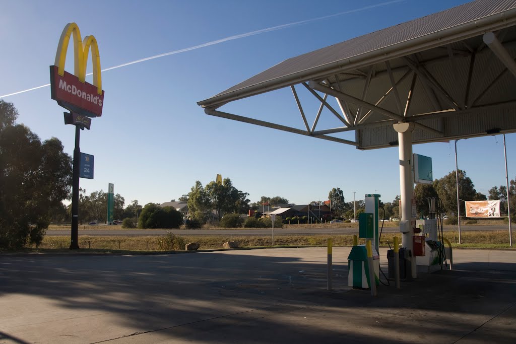
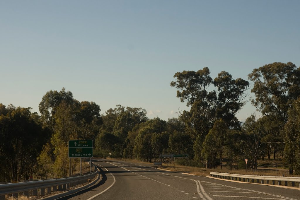
Photos of Wangaratta South


Wangaratta South Weather

Predicción: Moderate rain
Temperatura: 11.8°
Humedad: 80%
Hora actual: 01:42 AM
Amanece: 06:43 AM
Anochece: 05:44 PM
Cabbage Tree Creek, Australia
Latitude: -37.6978 // Longitude: 148.721
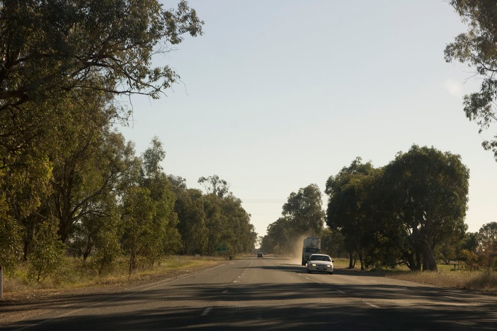
Photos of Cabbage Tree Creek


Cabbage Tree Creek Weather

Predicción: Overcast clouds
Temperatura: 13.5°
Humedad: 93%
Hora actual: 10:00 AM
Amanece: 06:35 AM
Anochece: 05:32 PM


