Distance between  Wangaratta South and
  Buckland
44.59 mi Straight Distance
58.94 mi Driving Distance
1 hour 24 mins Estimated Driving Time
The straight distance between Wangaratta South (Victoria) and Buckland (Victoria) is 44.59 mi, but the driving distance is 58.94 mi.
It takes 1 day 2 hours to go from Wangaratta South to Buckland.
Driving directions from Wangaratta South to Buckland
Distance in kilometers
Straight distance: 71.74 km. Route distance: 94.83 km
Wangaratta South, Australia
Latitude: -36.3953 // Longitude: 146.253
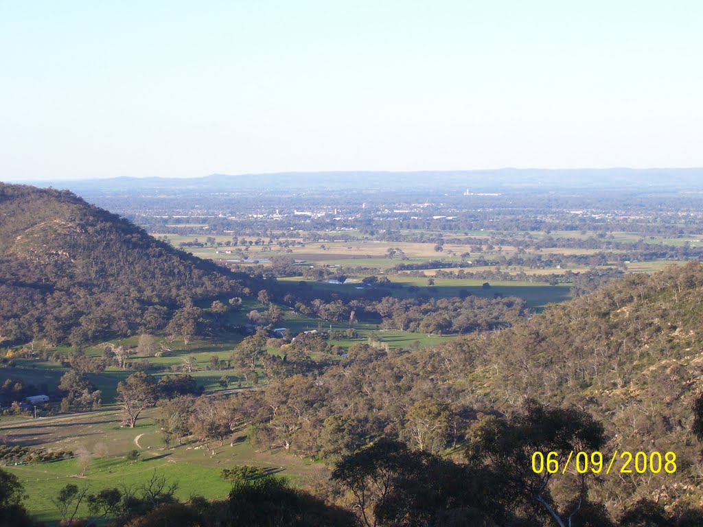
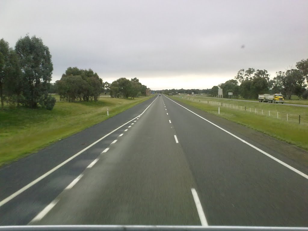
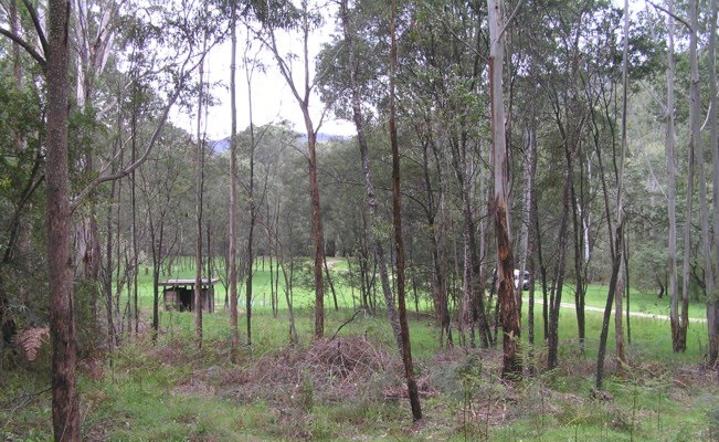
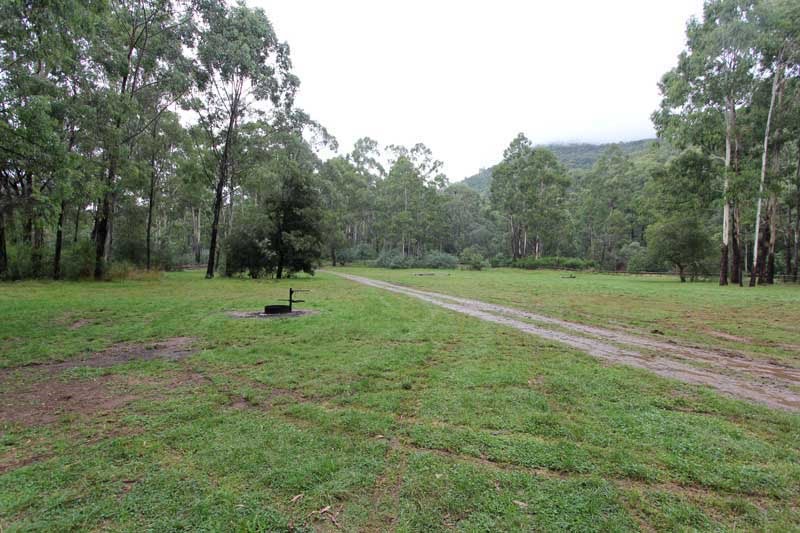
Photos of Wangaratta South
Wangaratta South Weather

Predicción: Overcast clouds
Temperatura: 10.6°
Humedad: 76%
Hora actual: 08:07 AM
Amanece: 06:42 AM
Anochece: 05:47 PM
Buckland, Australia
Latitude: -36.8248 // Longitude: 146.853
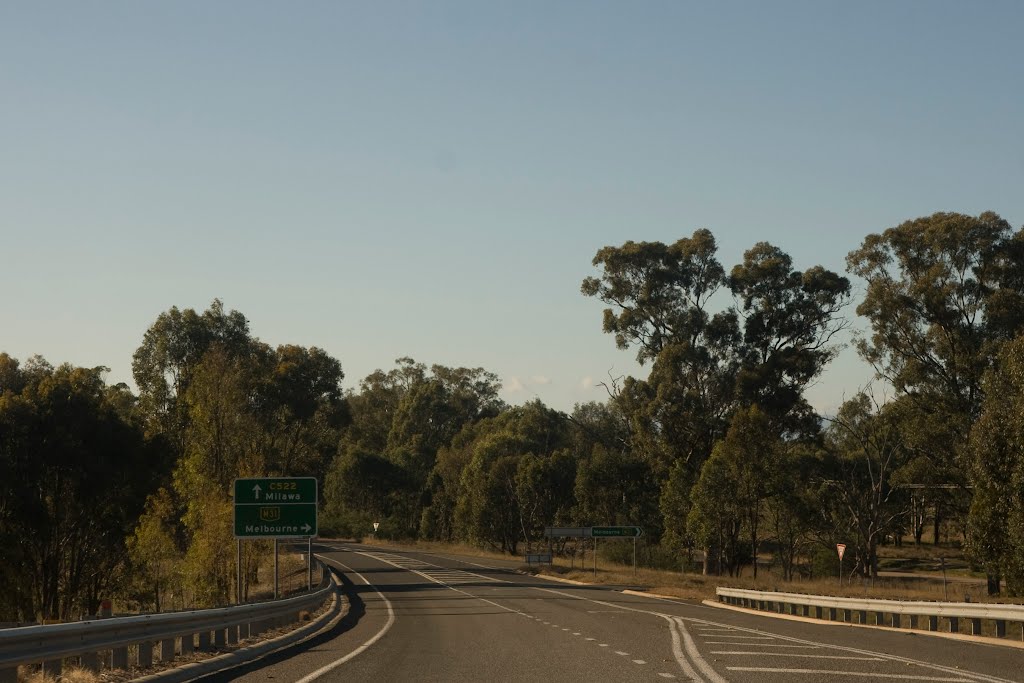
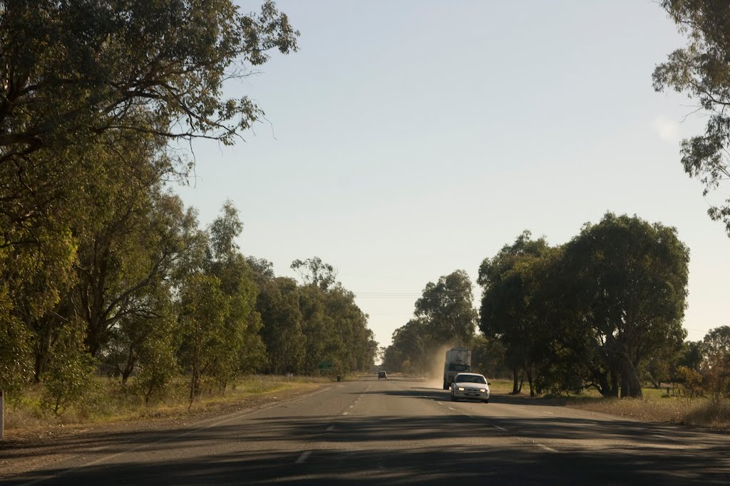
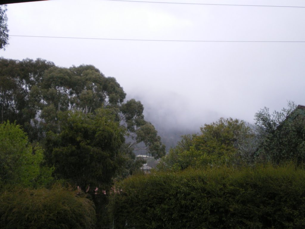
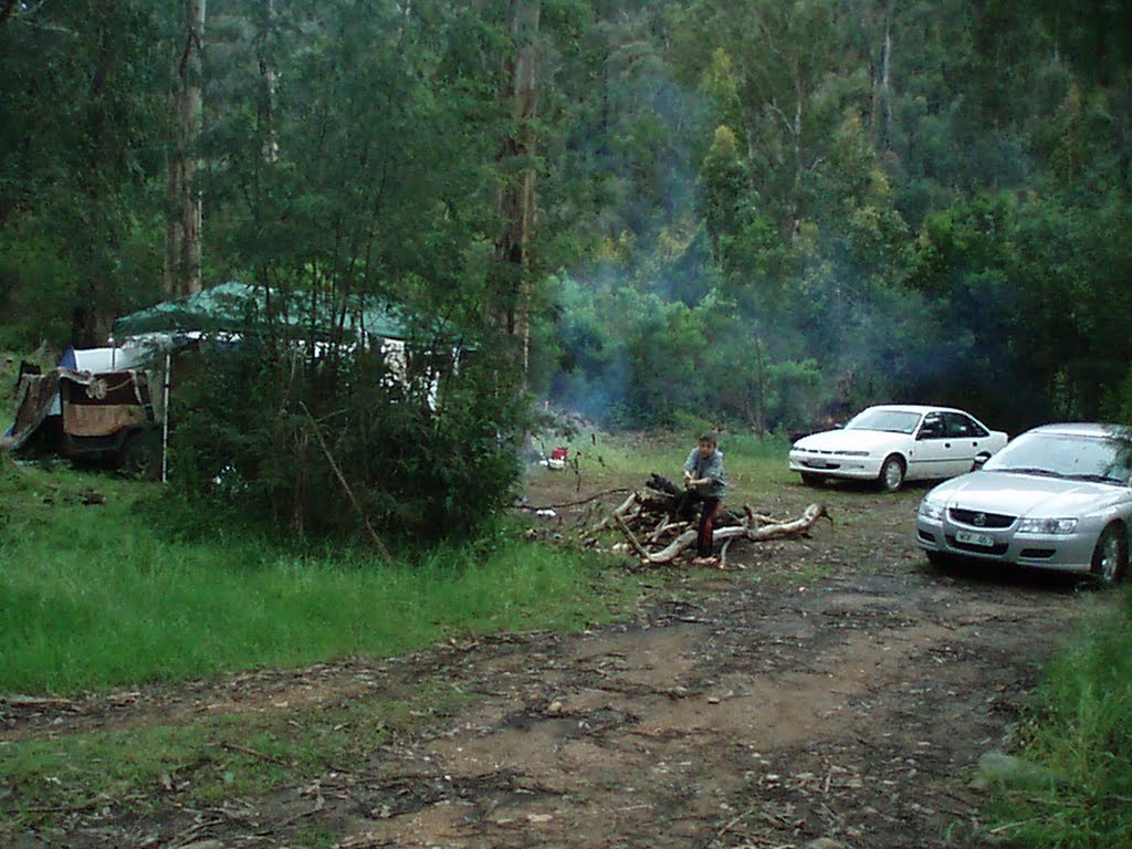
Photos of Buckland
Buckland Weather

Predicción: Overcast clouds
Temperatura: 12.2°
Humedad: 77%
Hora actual: 10:00 AM
Amanece: 06:40 AM
Anochece: 05:44 PM


