Distance between  Walpole and
  Narrikup
56.80 mi Straight Distance
91.01 mi Driving Distance
1 hour 33 mins Estimated Driving Time
The straight distance between Walpole (Western Australia) and Narrikup (Western Australia) is 56.80 mi, but the driving distance is 91.01 mi.
It takes to go from Walpole to Narrikup.
Driving directions from Walpole to Narrikup
Distance in kilometers
Straight distance: 91.39 km. Route distance: 146.43 km
Walpole, Australia
Latitude: -34.9761 // Longitude: 116.732
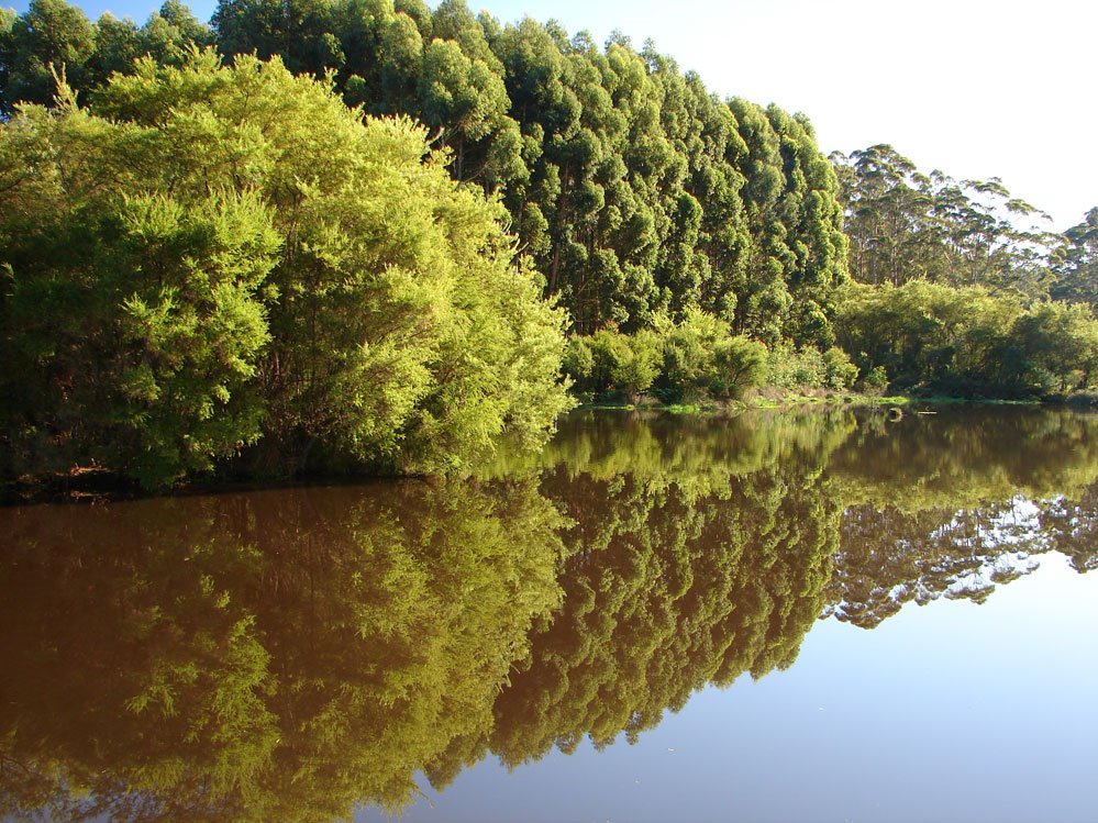
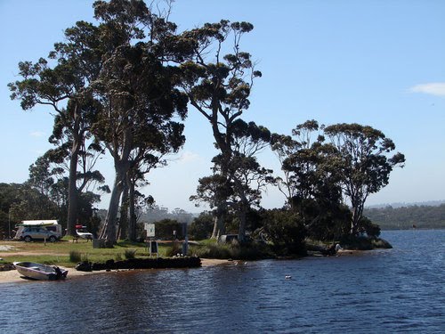
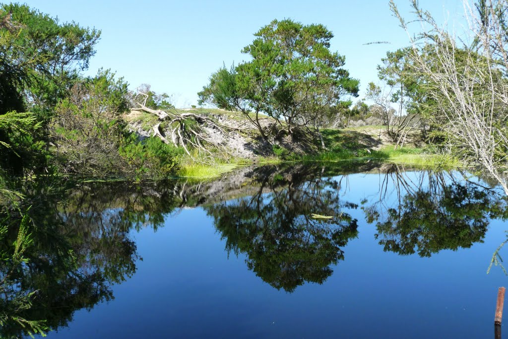
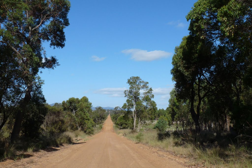
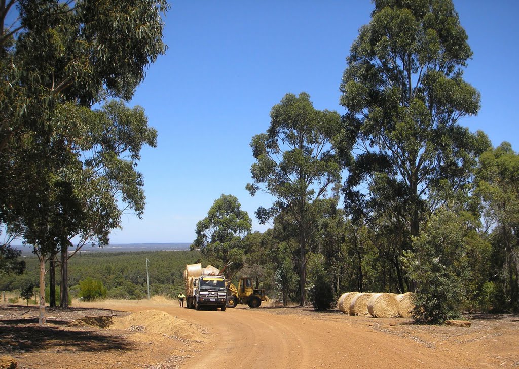
Photos of Walpole
Walpole Weather

Predicción: Scattered clouds
Temperatura: 14.5°
Humedad: 93%
Hora actual: 12:00 AM
Amanece: 10:38 PM
Anochece: 09:47 AM
Narrikup, Australia
Latitude: -34.773 // Longitude: 117.703
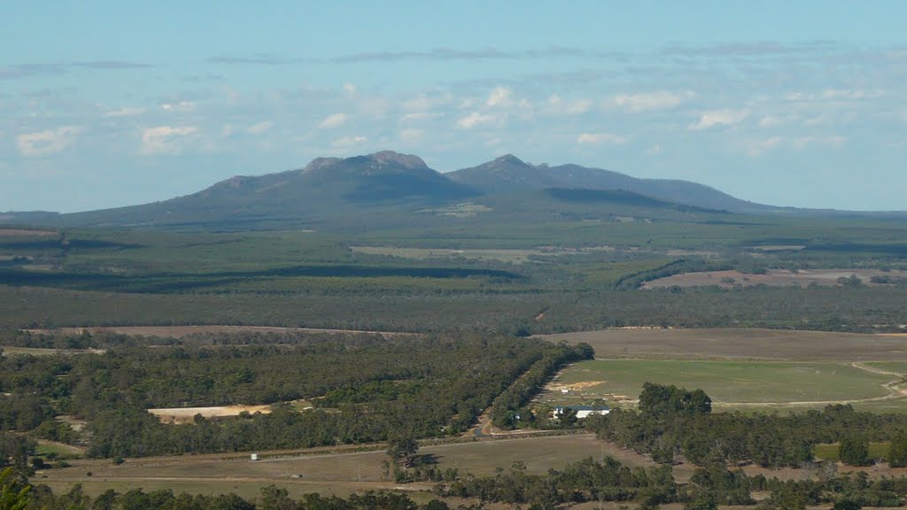
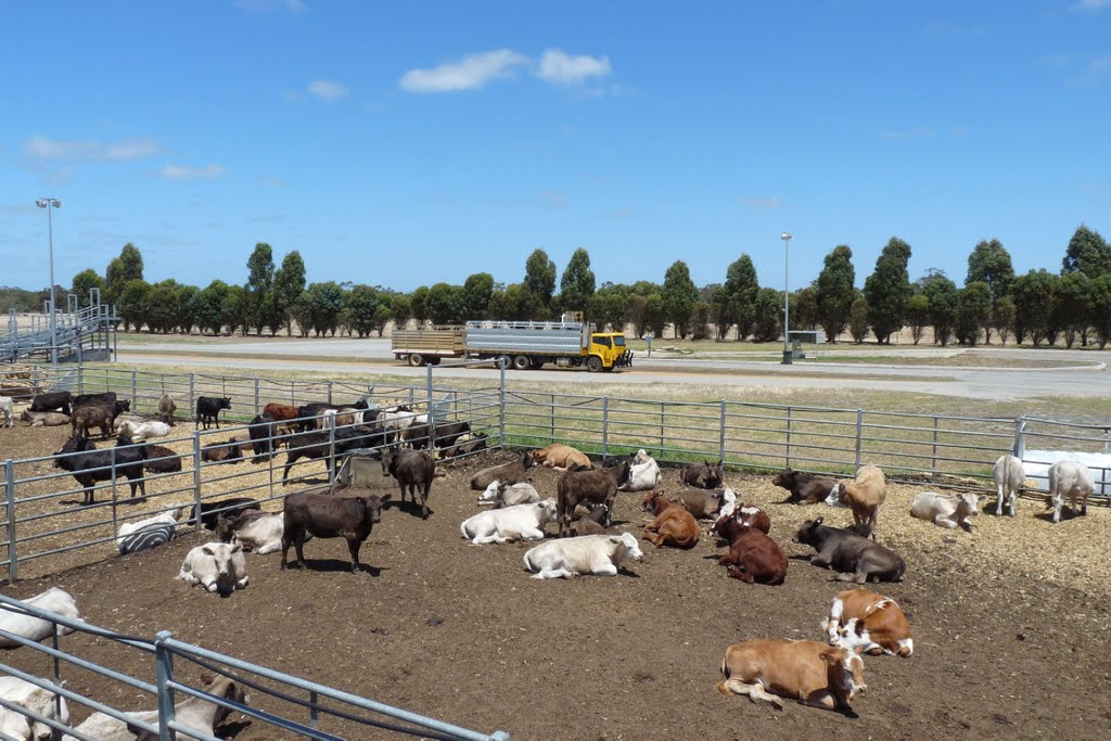
Photos of Narrikup
Narrikup Weather

Predicción: Broken clouds
Temperatura: 13.7°
Humedad: 96%
Hora actual: 12:00 AM
Amanece: 10:34 PM
Anochece: 09:43 AM


