Distance between  Wallerawang and
  North Star
310.05 mi Straight Distance
389.24 mi Driving Distance
7 hours 4 mins Estimated Driving Time
The straight distance between Wallerawang (New South Wales) and North Star (New South Wales) is 310.05 mi, but the driving distance is 389.24 mi.
It takes 6 hours 48 mins to go from Wallerawang to North Star.
Driving directions from Wallerawang to North Star
Distance in kilometers
Straight distance: 498.87 km. Route distance: 626.29 km
Wallerawang, Australia
Latitude: -33.4113 // Longitude: 150.065
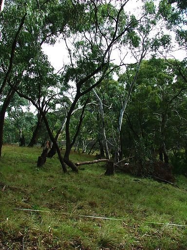
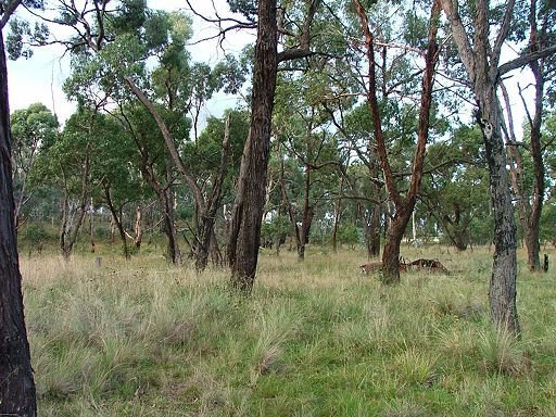
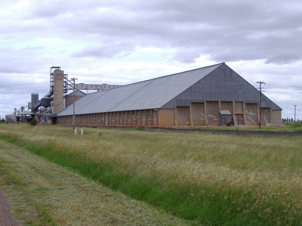
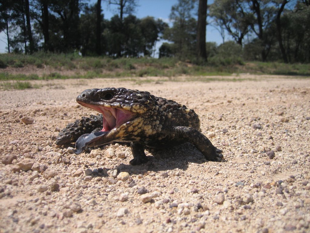
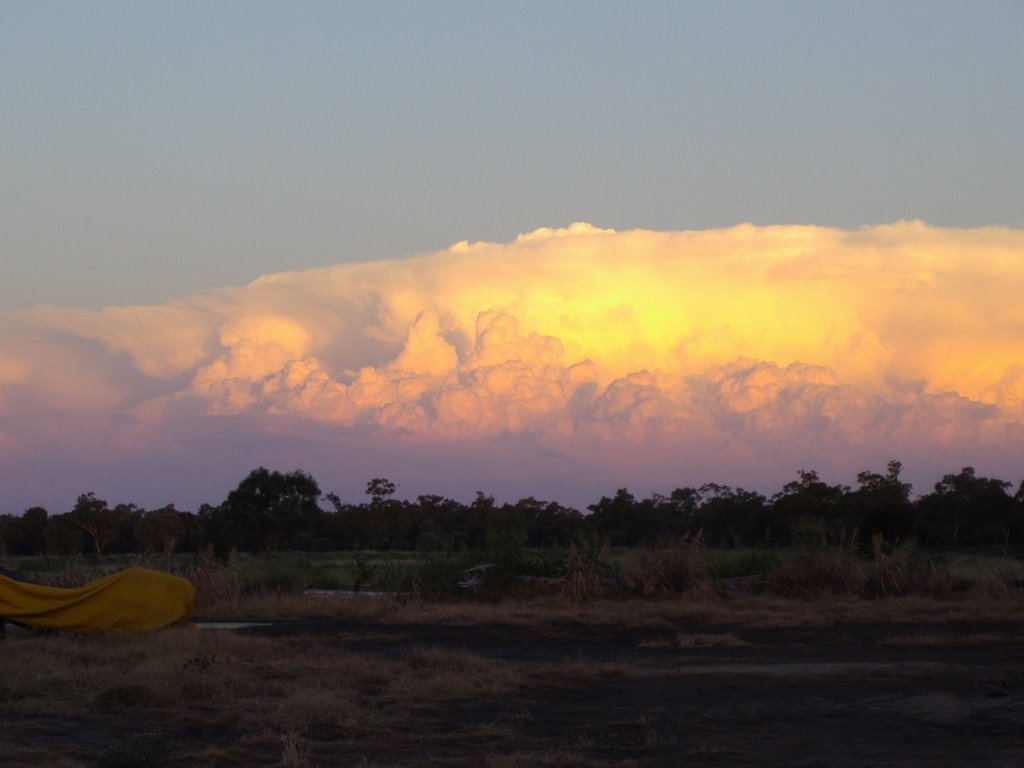
Photos of Wallerawang
Wallerawang Weather

Predicción: Few clouds
Temperatura: 12.1°
Humedad: 91%
Hora actual: 12:09 AM
Amanece: 06:23 AM
Anochece: 05:34 PM
North Star, Australia
Latitude: -28.9326 // Longitude: 150.391
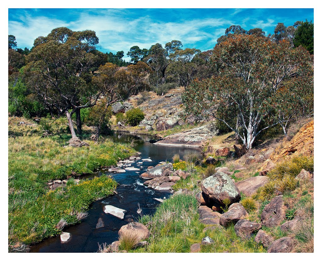
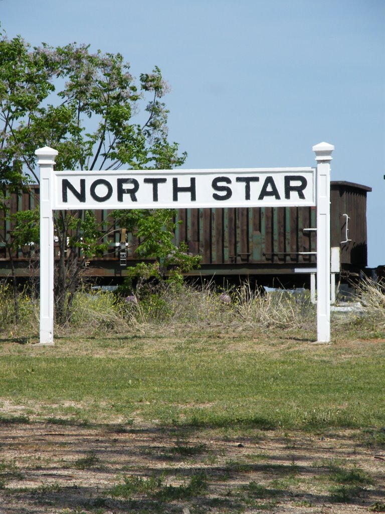
Photos of North Star
North Star Weather

Predicción: Broken clouds
Temperatura: 21.2°
Humedad: 64%
Hora actual: 10:00 AM
Amanece: 06:17 AM
Anochece: 05:38 PM


