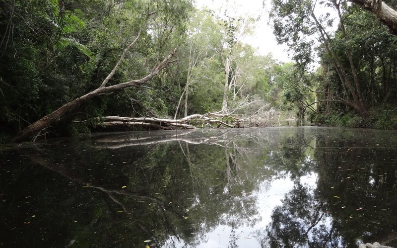
Distance between  Walkerston and
  Byfield
154.43 mi Straight Distance
248.01 mi Driving Distance
5 hours 8 mins Estimated Driving Time
The straight distance between Walkerston (Queensland) and Byfield (Queensland) is 154.43 mi, but the driving distance is 248.01 mi.
It takes to go from Walkerston to Byfield.
Driving directions from Walkerston to Byfield
Distance in kilometers
Straight distance: 248.48 km. Route distance: 399.05 km
Walkerston, Australia
Latitude: -21.1615 // Longitude: 149.069
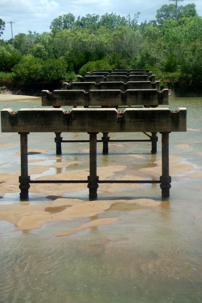
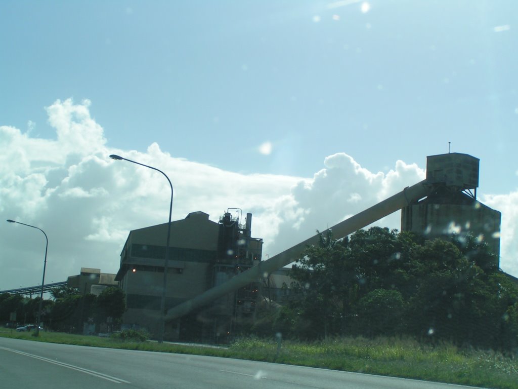
Photos of Walkerston
Walkerston Weather

Predicción: Broken clouds
Temperatura: 21.6°
Humedad: 93%
Hora actual: 11:56 PM
Amanece: 06:15 AM
Anochece: 05:51 PM
Byfield, Australia
Latitude: -22.8481 // Longitude: 150.651
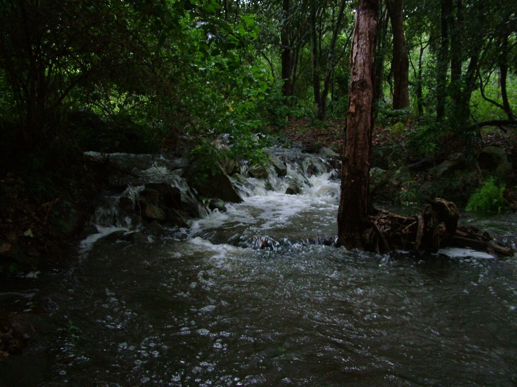
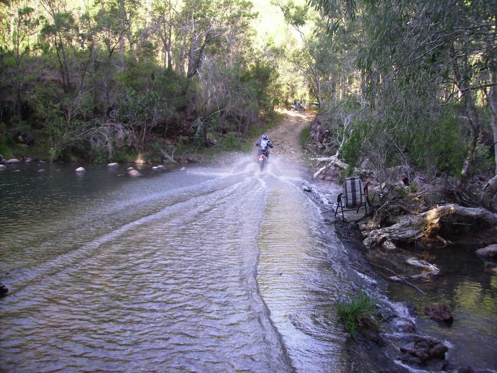
Photos of Byfield
Byfield Weather

Predicción: Few clouds
Temperatura: 21.0°
Humedad: 95%
Hora actual: 10:00 AM
Amanece: 06:10 AM
Anochece: 05:43 PM


