Distance between  Walhalla East and
  Tanjil Bren
23.58 mi Straight Distance
79.86 mi Driving Distance
1 hour 54 mins Estimated Driving Time
The straight distance between Walhalla East (Victoria) and Tanjil Bren (Victoria) is 23.58 mi, but the driving distance is 79.86 mi.
It takes 2 hours 21 mins to go from Walhalla East to Tanjil Bren.
Driving directions from Walhalla East to Tanjil Bren
Distance in kilometers
Straight distance: 37.94 km. Route distance: 128.50 km
Walhalla East, Australia
Latitude: -37.9143 // Longitude: 146.594
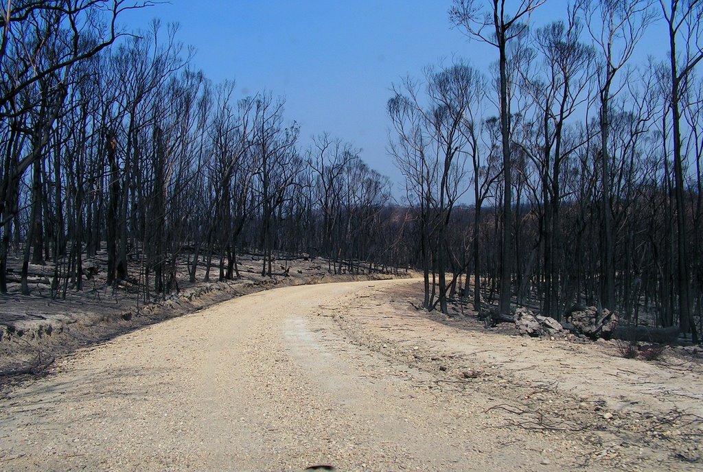
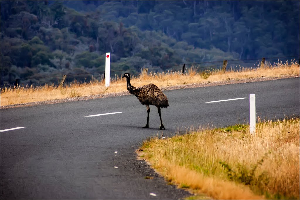
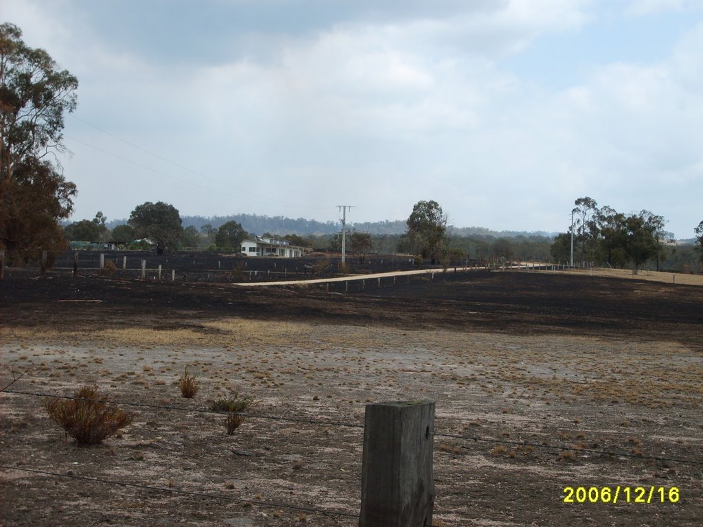
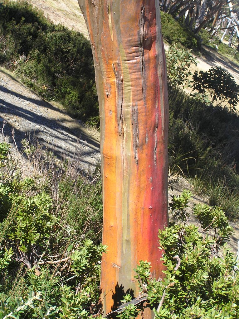
Photos of Walhalla East
Walhalla East Weather

Predicción: Scattered clouds
Temperatura: 13.0°
Humedad: 61%
Hora actual: 12:00 AM
Amanece: 08:43 PM
Anochece: 07:42 AM
Tanjil Bren, Australia
Latitude: -37.8243 // Longitude: 146.177
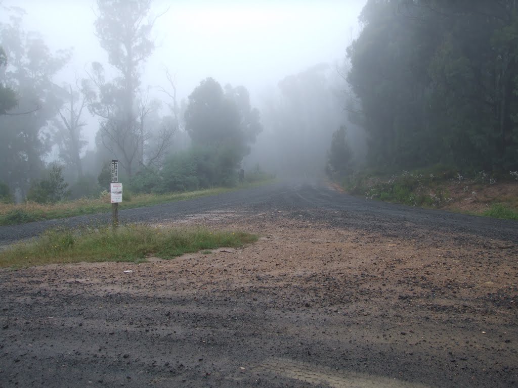
Photos of Tanjil Bren
Tanjil Bren Weather

Predicción: Broken clouds
Temperatura: 7.7°
Humedad: 84%
Hora actual: 12:00 AM
Amanece: 08:45 PM
Anochece: 07:43 AM


