Distance between  Wairewa and
  Paynesville
29.24 mi Straight Distance
50.26 mi Driving Distance
1 hour 4 mins Estimated Driving Time
The straight distance between Wairewa (Victoria) and Paynesville (Victoria) is 29.24 mi, but the driving distance is 50.26 mi.
It takes 1 hour 7 mins to go from Wairewa to Paynesville.
Driving directions from Wairewa to Paynesville
Distance in kilometers
Straight distance: 47.05 km. Route distance: 80.87 km
Wairewa, Australia
Latitude: -37.6894 // Longitude: 148.17
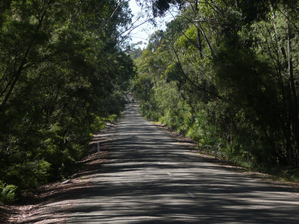
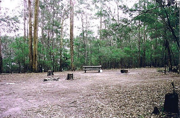
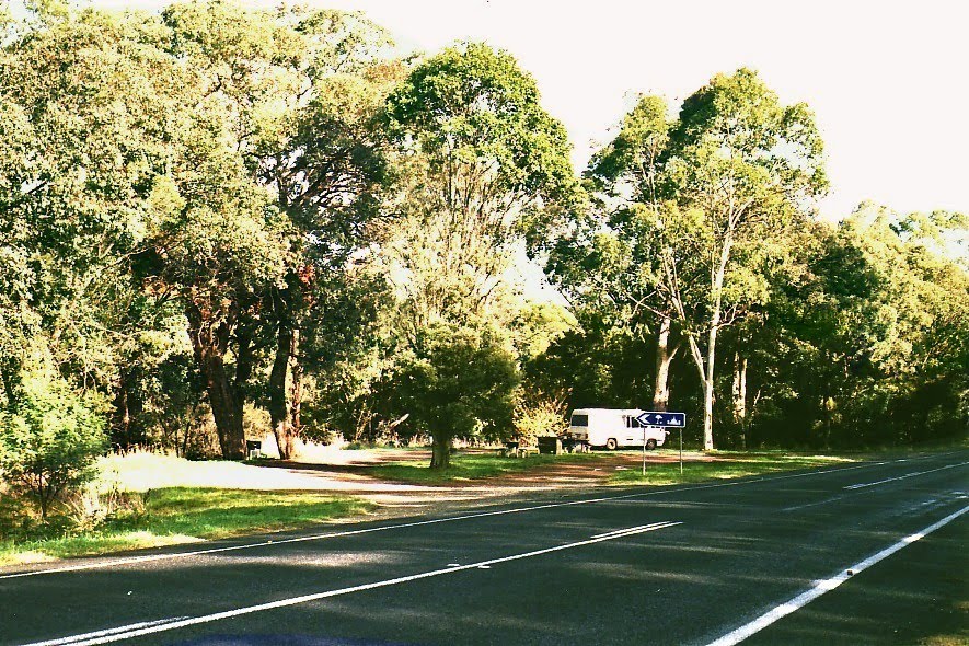
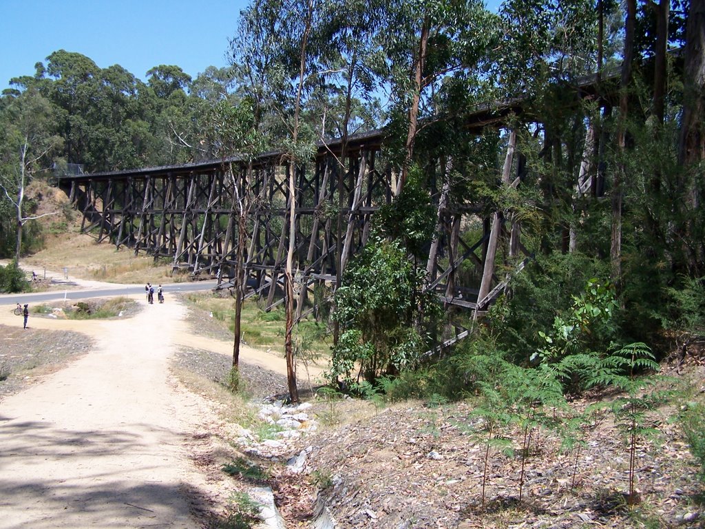
Photos of Wairewa
Wairewa Weather

Predicción: Broken clouds
Temperatura: 13.0°
Humedad: 95%
Hora actual: 12:00 AM
Amanece: 08:37 PM
Anochece: 07:35 AM
Paynesville, Australia
Latitude: -37.919 // Longitude: 147.72
Photos of Paynesville
Paynesville Weather

Predicción: Broken clouds
Temperatura: 11.2°
Humedad: 94%
Hora actual: 02:09 AM
Amanece: 06:39 AM
Anochece: 05:36 PM


