Distance between  Victor Harbor and
  Two Wells
66.49 mi Straight Distance
76.84 mi Driving Distance
1 hour 30 mins Estimated Driving Time
The straight distance between Victor Harbor (South Australia) and Two Wells (South Australia) is 66.49 mi, but the driving distance is 76.84 mi.
It takes 1 hour 47 mins to go from Victor Harbor to Two Wells.
Driving directions from Victor Harbor to Two Wells
Distance in kilometers
Straight distance: 106.99 km. Route distance: 123.63 km
Victor Harbor, Australia
Latitude: -35.5532 // Longitude: 138.623
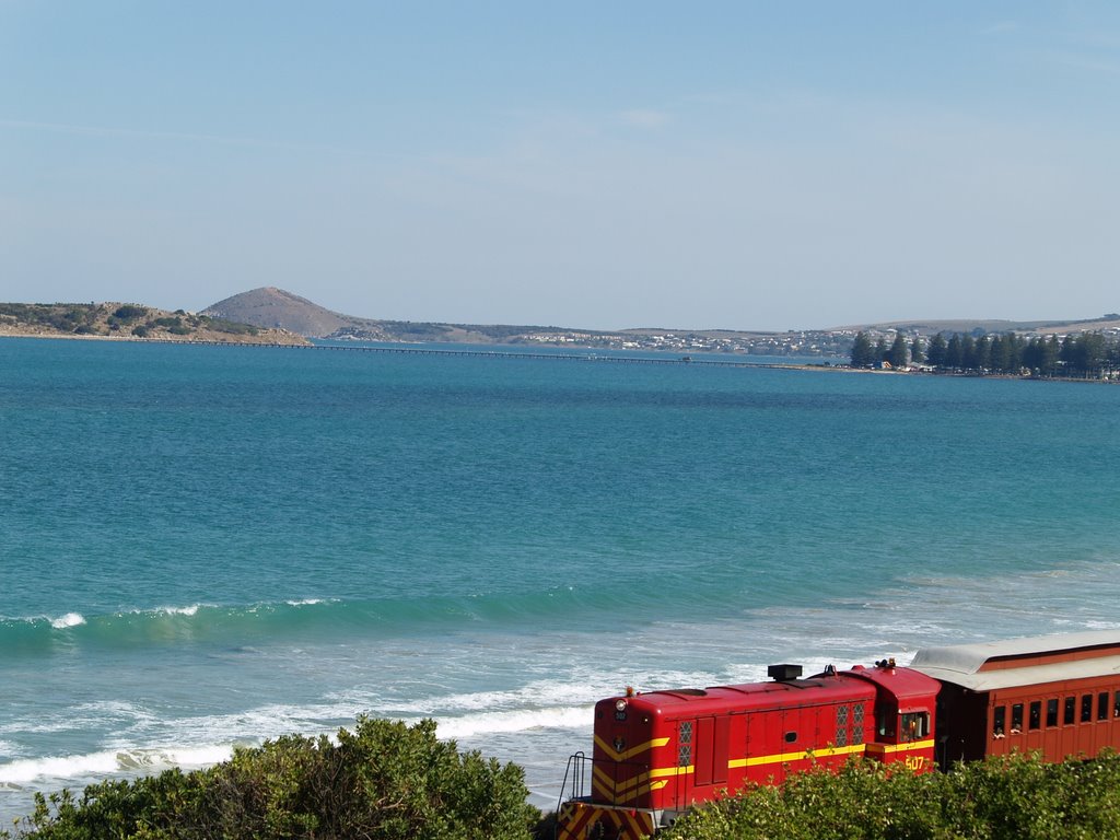
Photos of Victor Harbor
Victor Harbor Weather

Predicción: Broken clouds
Temperatura: 14.4°
Humedad: 79%
Hora actual: 09:42 AM
Amanece: 06:42 AM
Anochece: 05:47 PM
Two Wells, Australia
Latitude: -34.5948 // Longitude: 138.516
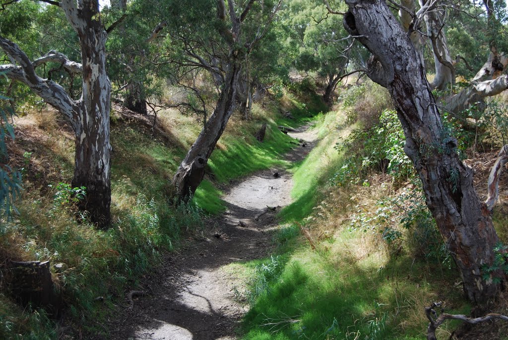
Photos of Two Wells
Two Wells Weather

Predicción: Clear sky
Temperatura: 16.3°
Humedad: 62%
Hora actual: 09:42 AM
Amanece: 06:41 AM
Anochece: 05:48 PM


