Distance between  Useless Loop and
  Kiwirrkurra
930.27 mi Straight Distance
1,440.77 mi Driving Distance
1 day 16 hours Estimated Driving Time
The straight distance between Useless Loop (Western Australia) and Kiwirrkurra (Western Australia) is 930.27 mi, but the driving distance is 1,440.77 mi.
It takes to go from Useless Loop to Kiwirrkurra.
Driving directions from Useless Loop to Kiwirrkurra
Distance in kilometers
Straight distance: 1,496.81 km. Route distance: 2,318.20 km
Useless Loop, Australia
Latitude: -26.1431 // Longitude: 113.417
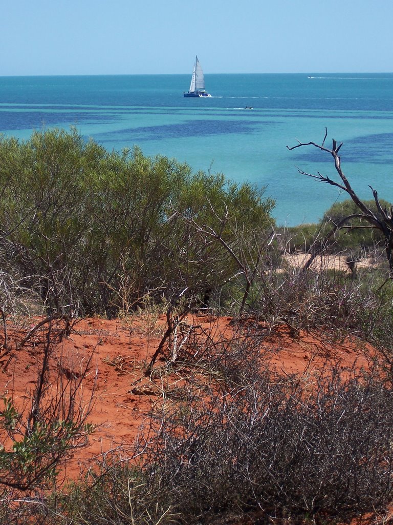
Photos of Useless Loop
Useless Loop Weather

Predicción: Clear sky
Temperatura: 28.0°
Humedad: 52%
Hora actual: 12:00 AM
Amanece: 10:43 PM
Anochece: 10:07 AM
Kiwirrkurra, Australia
Latitude: -22.8167 // Longitude: 127.762
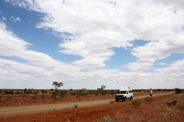
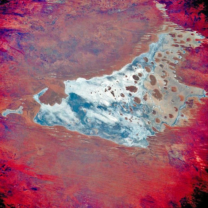
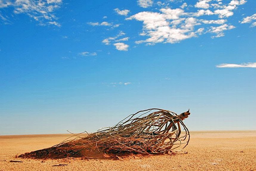
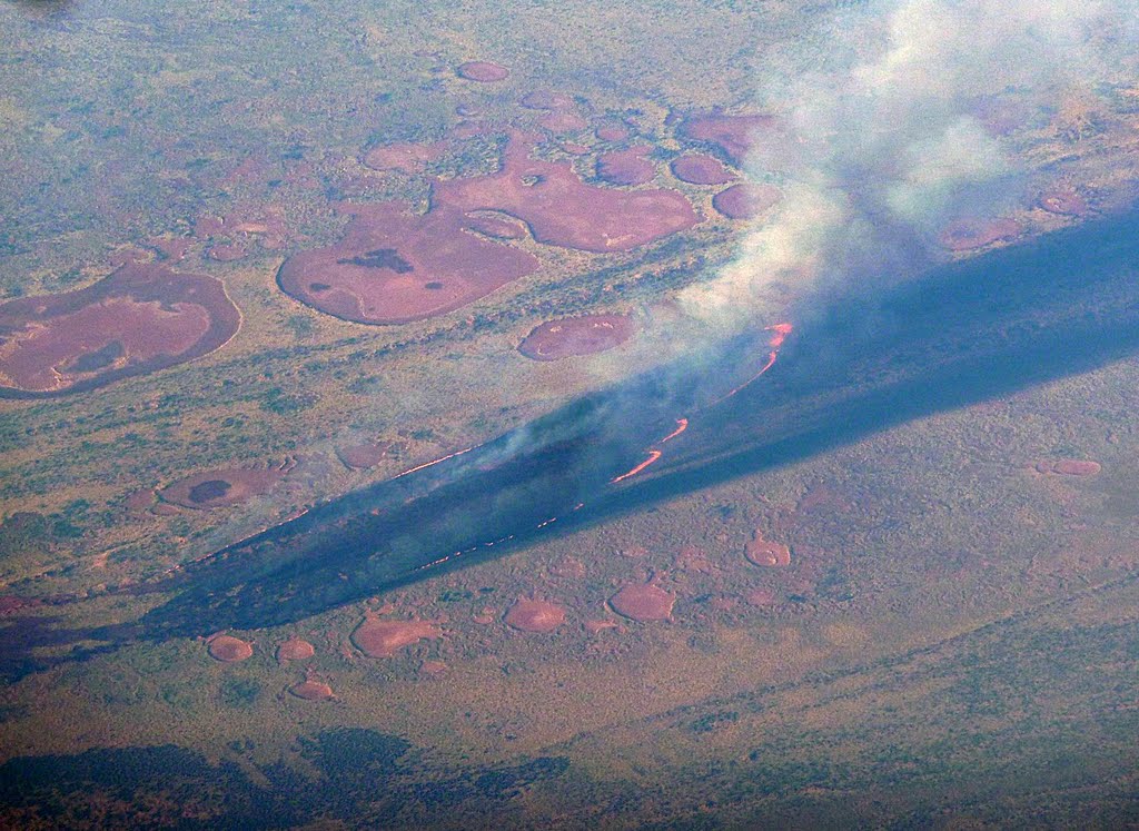
Photos of Kiwirrkurra
Kiwirrkurra Weather

Predicción: Clear sky
Temperatura: 28.5°
Humedad: 18%
Hora actual: 12:00 AM
Amanece: 09:43 PM
Anochece: 09:12 AM


