Distance between  Upton Hill and
  Nyerimilang
154.17 mi Straight Distance
265.51 mi Driving Distance
4 hours 51 mins Estimated Driving Time
The straight distance between Upton Hill (Victoria) and Nyerimilang (Victoria) is 154.17 mi, but the driving distance is 265.51 mi.
It takes to go from Upton Hill to Nyerimilang.
Driving directions from Upton Hill to Nyerimilang
Distance in kilometers
Straight distance: 248.06 km. Route distance: 427.20 km
Upton Hill, Australia
Latitude: -36.8947 // Longitude: 145.402
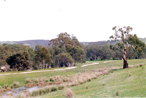
Photos of Upton Hill
Upton Hill Weather

Predicción: Few clouds
Temperatura: 13.7°
Humedad: 59%
Hora actual: 12:00 AM
Amanece: 08:45 PM
Anochece: 07:50 AM
Nyerimilang, Australia
Latitude: -37.8713 // Longitude: 147.927
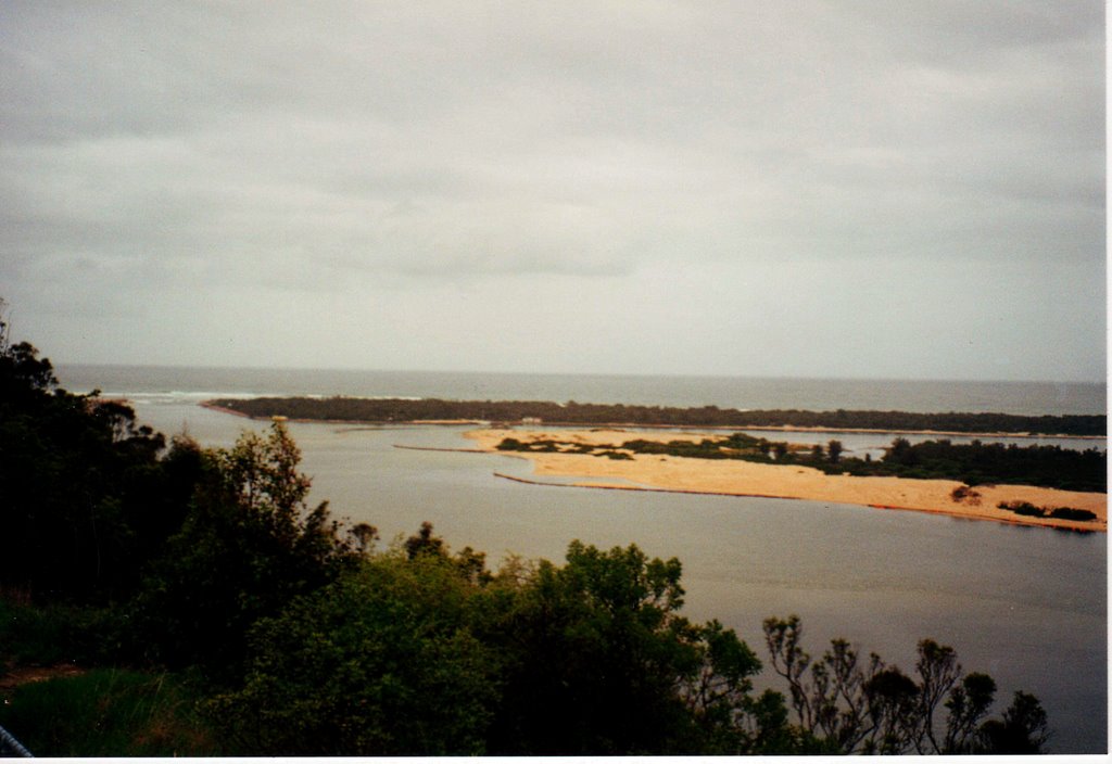
Photos of Nyerimilang
Nyerimilang Weather

Predicción: Broken clouds
Temperatura: 15.4°
Humedad: 83%
Hora actual: 05:59 PM
Amanece: 06:36 AM
Anochece: 05:40 PM


