Distance between  Upper Stowport and
  North Scottsdale
86.24 mi Straight Distance
135.99 mi Driving Distance
2 hours 26 mins Estimated Driving Time
The straight distance between Upper Stowport (Tasmania) and North Scottsdale (Tasmania) is 86.24 mi, but the driving distance is 135.99 mi.
It takes to go from Upper Stowport to North Scottsdale.
Driving directions from Upper Stowport to North Scottsdale
Distance in kilometers
Straight distance: 138.75 km. Route distance: 218.80 km
Upper Stowport, Australia
Latitude: -41.1589 // Longitude: 145.899
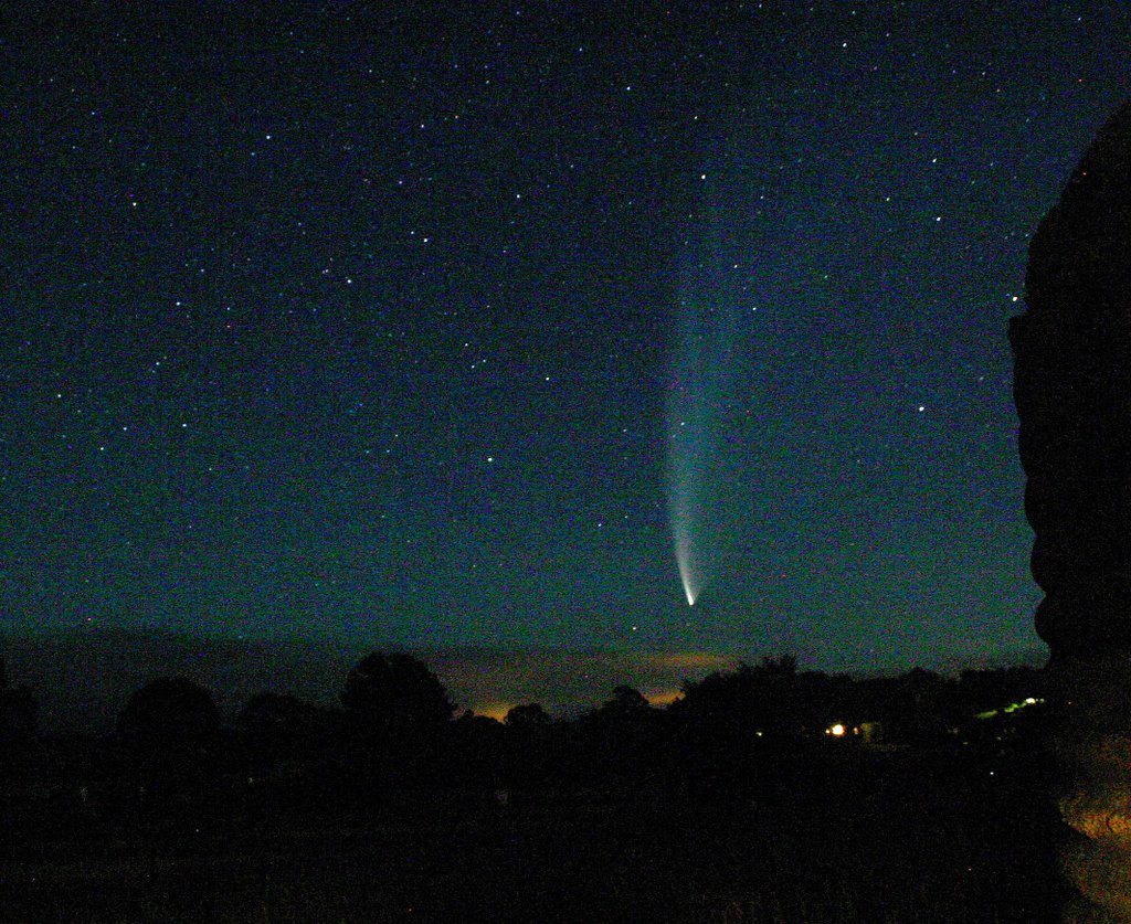
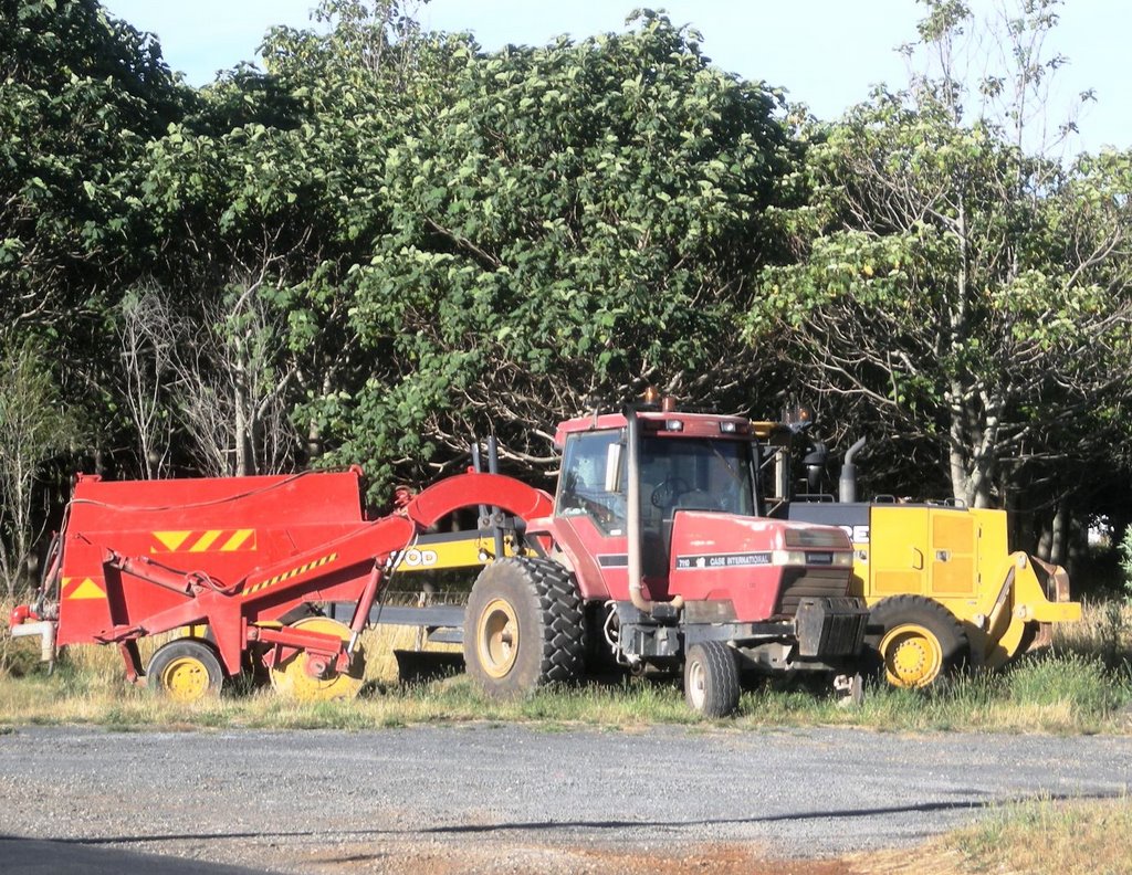
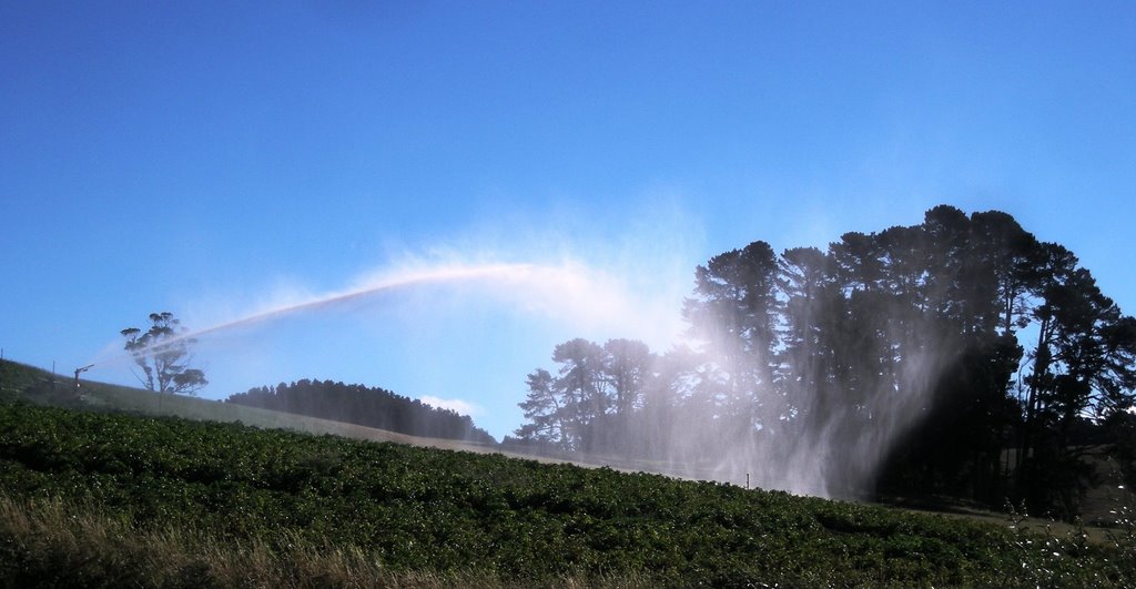
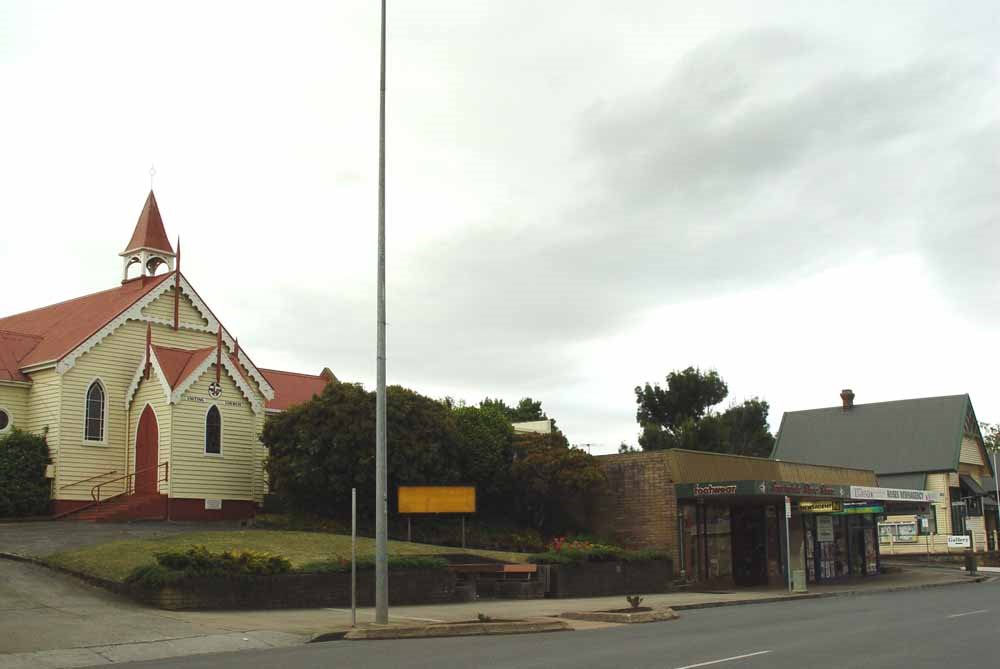
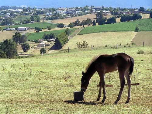
Photos of Upper Stowport
Upper Stowport Weather

Predicción: Few clouds
Temperatura: 11.9°
Humedad: 80%
Hora actual: 08:04 PM
Amanece: 06:50 AM
Anochece: 05:41 PM
North Scottsdale, Australia
Latitude: -41.1114 // Longitude: 147.555
Photos of North Scottsdale
North Scottsdale Weather

Predicción: Scattered clouds
Temperatura: 9.5°
Humedad: 96%
Hora actual: 08:04 PM
Amanece: 06:43 AM
Anochece: 05:34 PM


