Distance between  Upper Stowport and
  Mount Lloyd
128.63 mi Straight Distance
215.38 mi Driving Distance
3 hours 57 mins Estimated Driving Time
The straight distance between Upper Stowport (Tasmania) and Mount Lloyd (Tasmania) is 128.63 mi, but the driving distance is 215.38 mi.
It takes to go from Upper Stowport to Mount Lloyd.
Driving directions from Upper Stowport to Mount Lloyd
Distance in kilometers
Straight distance: 206.97 km. Route distance: 346.55 km
Upper Stowport, Australia
Latitude: -41.1589 // Longitude: 145.899
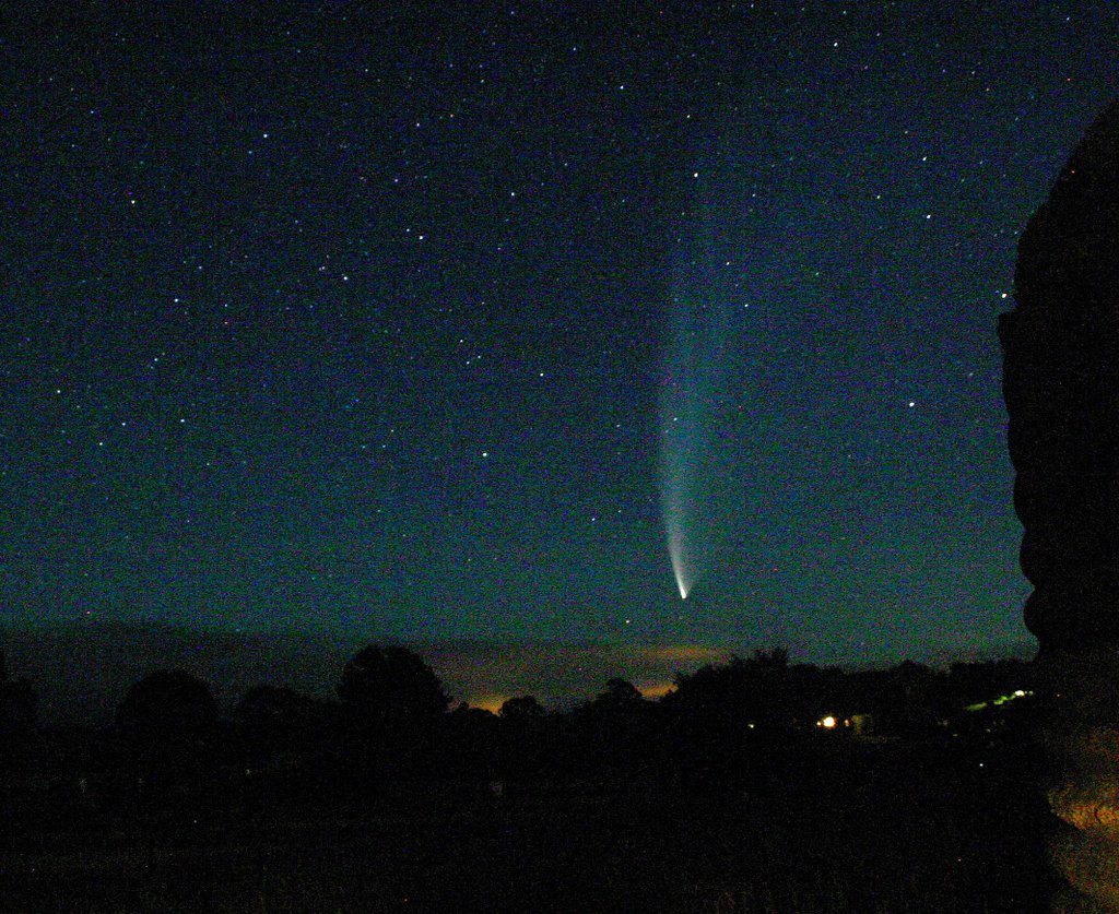
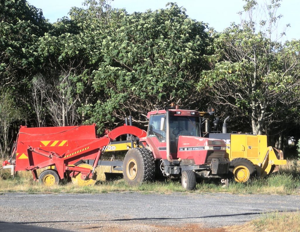
Photos of Upper Stowport
Upper Stowport Weather

Predicción: Light rain
Temperatura: 14.6°
Humedad: 80%
Hora actual: 04:31 PM
Amanece: 06:50 AM
Anochece: 05:41 PM
Mount Lloyd, Australia
Latitude: -42.8441 // Longitude: 146.964
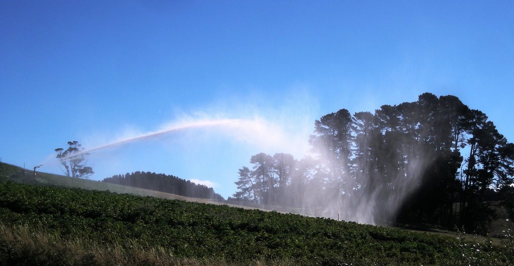
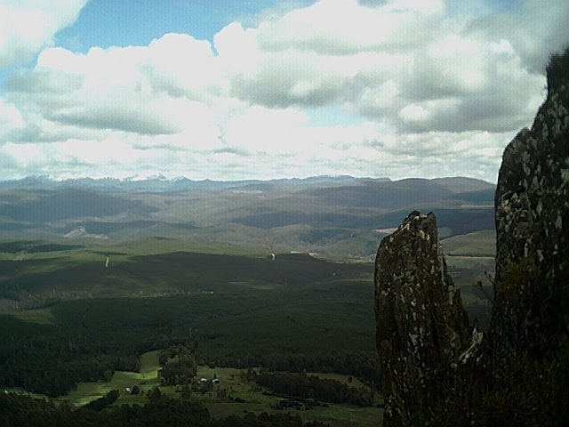
Photos of Mount Lloyd
Mount Lloyd Weather

Predicción: Overcast clouds
Temperatura: 9.8°
Humedad: 85%
Hora actual: 04:31 PM
Amanece: 06:48 AM
Anochece: 05:34 PM


