Distance between  Upper Scamander and
  Caveside
91.18 mi Straight Distance
129.48 mi Driving Distance
2 hours 30 mins Estimated Driving Time
The straight distance between Upper Scamander (Tasmania) and Caveside (Tasmania) is 91.18 mi, but the driving distance is 129.48 mi.
It takes to go from Upper Scamander to Caveside.
Driving directions from Upper Scamander to Caveside
Distance in kilometers
Straight distance: 146.71 km. Route distance: 208.33 km
Upper Scamander, Australia
Latitude: -41.4624 // Longitude: 148.189
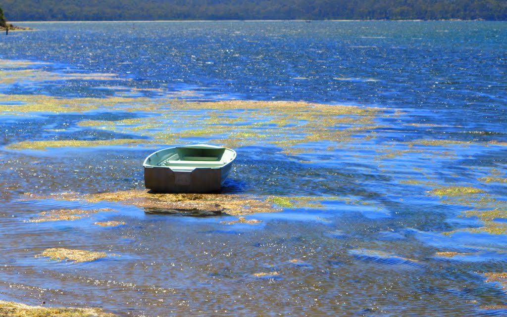
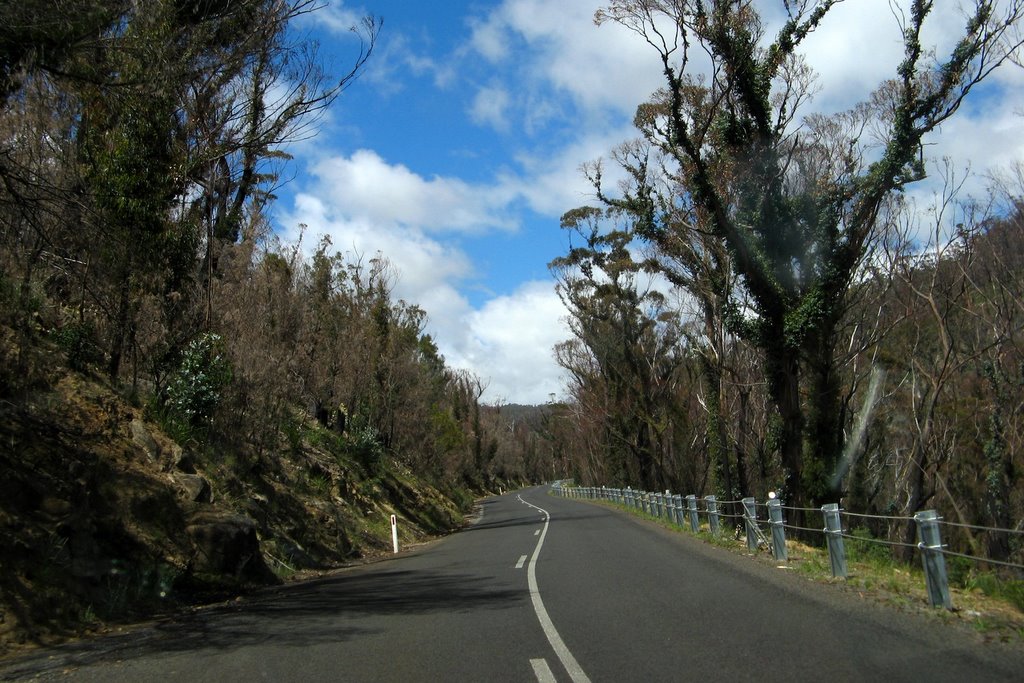
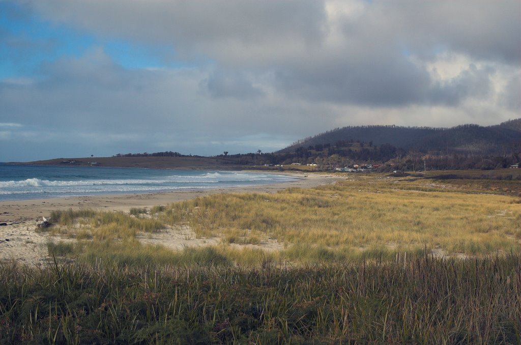
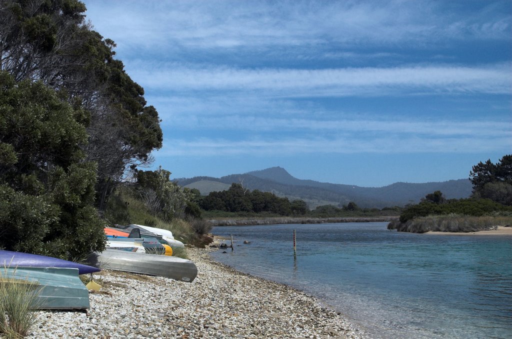
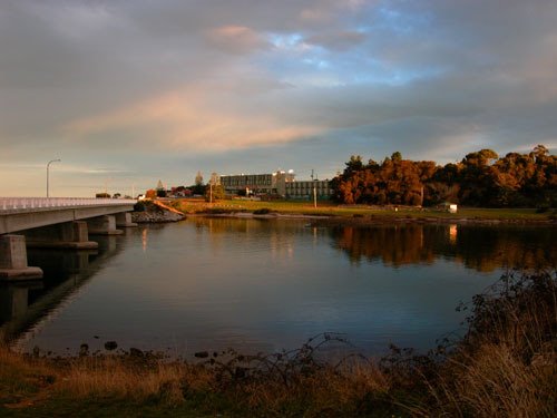
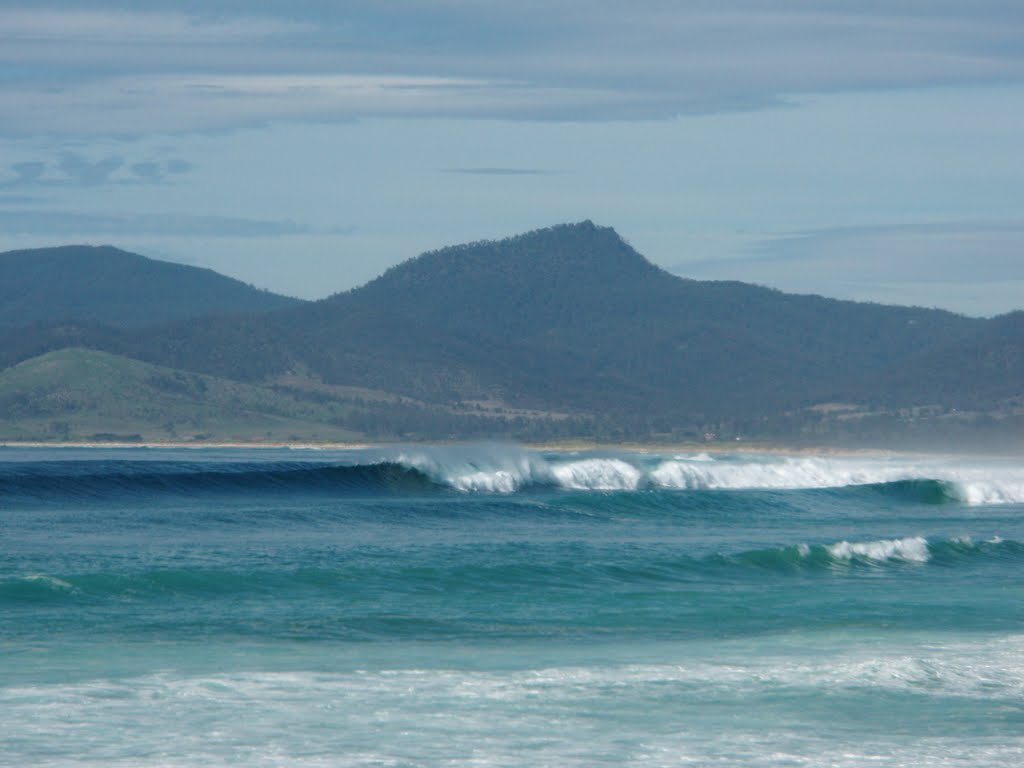
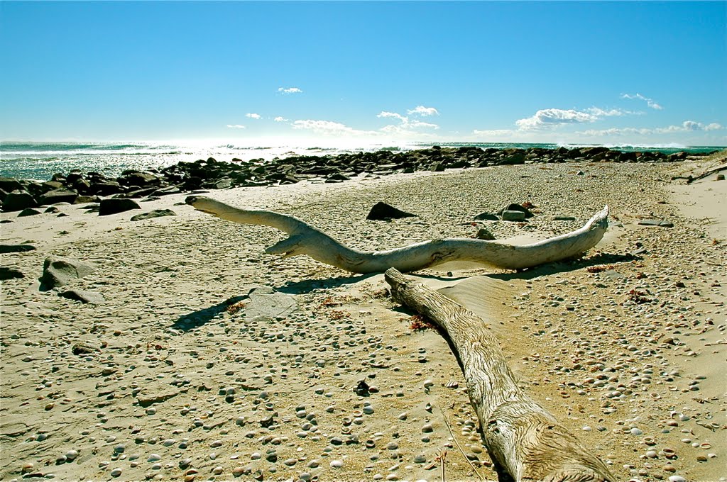
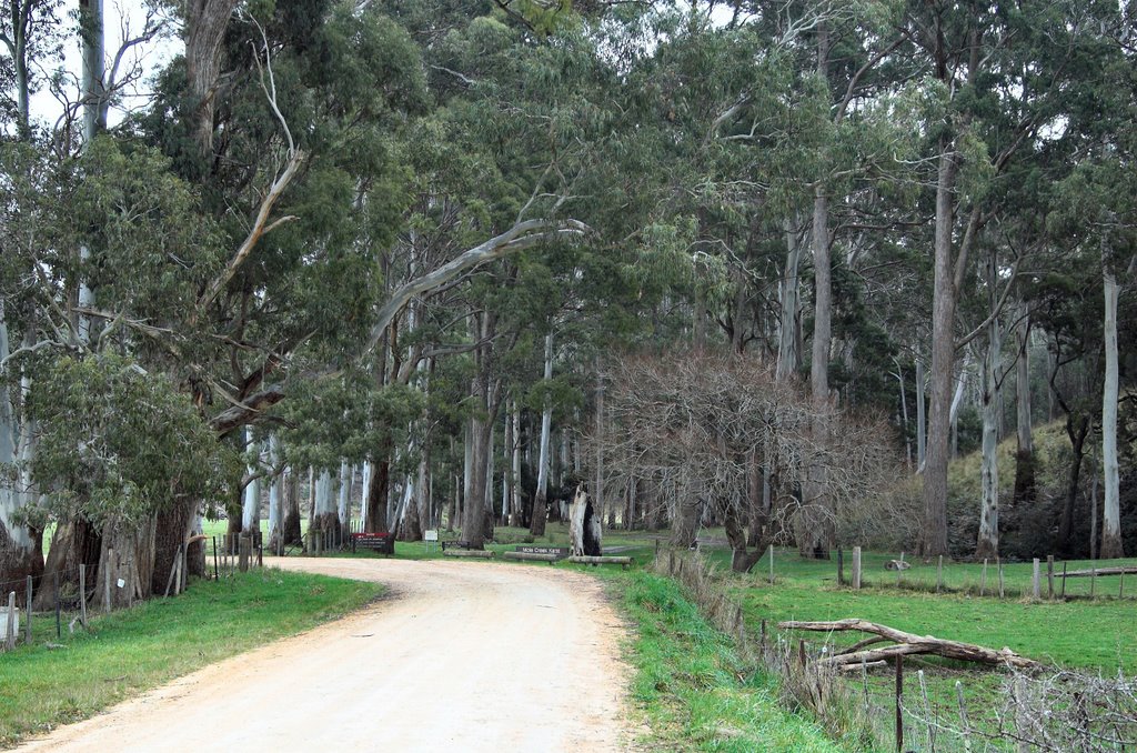
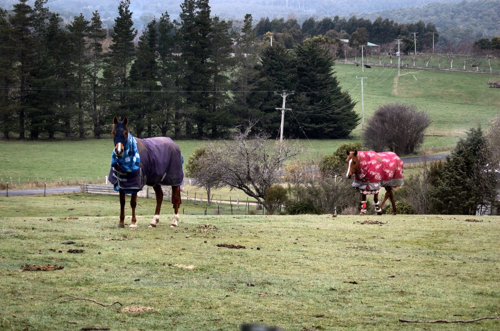
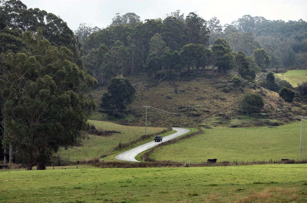
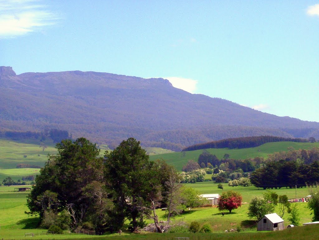
Photos of Upper Scamander
Upper Scamander Weather

Predicción: Broken clouds
Temperatura: 9.8°
Humedad: 77%
Hora actual: 02:58 AM
Amanece: 06:42 AM
Anochece: 05:30 PM
Caveside, Australia
Latitude: -41.5942 // Longitude: 146.435
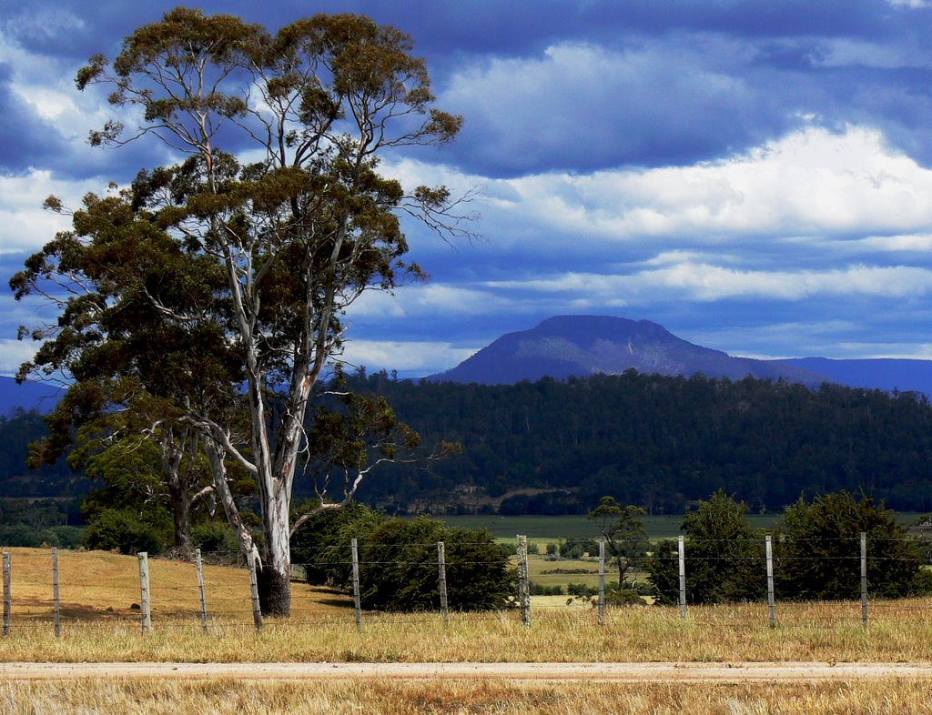
Photos of Caveside
Caveside Weather

Predicción: Broken clouds
Temperatura: 6.5°
Humedad: 85%
Hora actual: 02:58 AM
Amanece: 06:49 AM
Anochece: 05:37 PM


