Distance between  Upper Plenty and
  Gellibrand
112.30 mi Straight Distance
156.26 mi Driving Distance
2 hours 54 mins Estimated Driving Time
The straight distance between Upper Plenty (Victoria) and Gellibrand (Victoria) is 112.30 mi, but the driving distance is 156.26 mi.
It takes to go from Upper Plenty to Gellibrand.
Driving directions from Upper Plenty to Gellibrand
Distance in kilometers
Straight distance: 180.69 km. Route distance: 251.42 km
Upper Plenty, Australia
Latitude: -37.424 // Longitude: 145.057
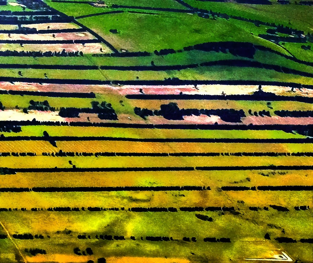
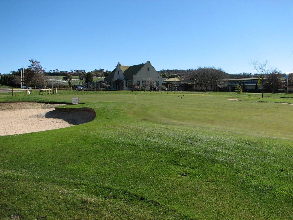
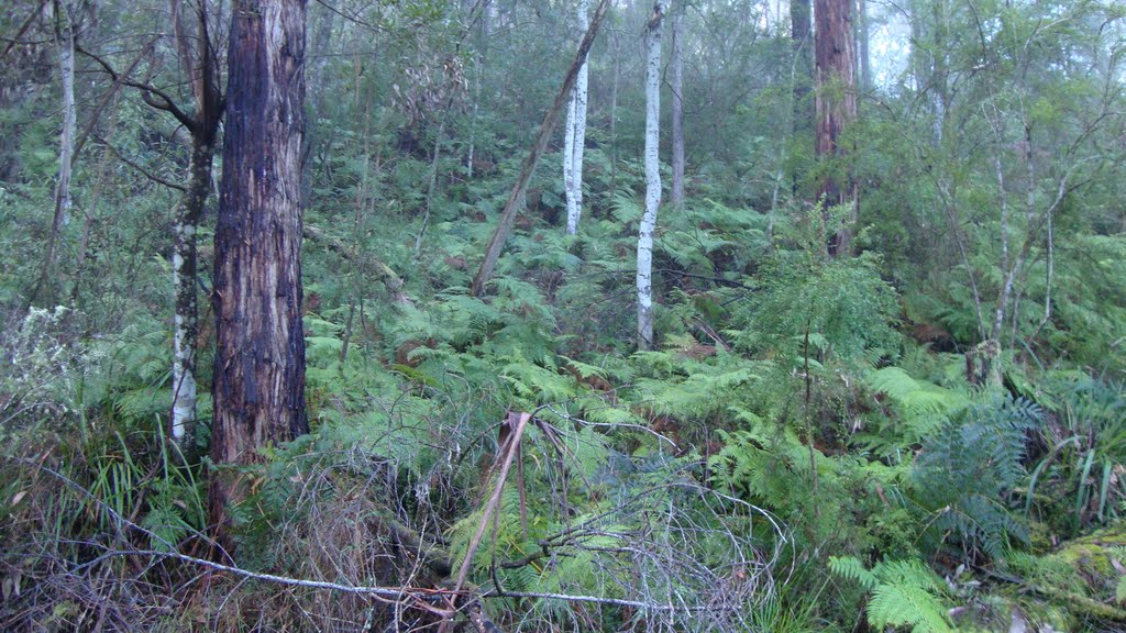
Photos of Upper Plenty
Upper Plenty Weather

Predicción: Broken clouds
Temperatura: 14.2°
Humedad: 80%
Hora actual: 06:22 PM
Amanece: 06:47 AM
Anochece: 05:51 PM
Gellibrand, Australia
Latitude: -38.5249 // Longitude: 143.54
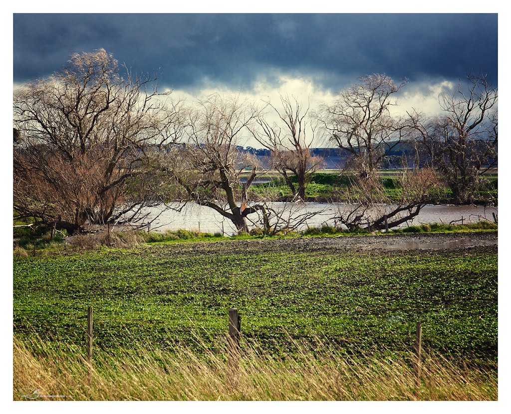
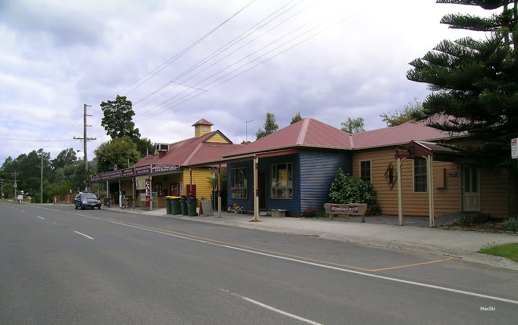
Photos of Gellibrand
Gellibrand Weather

Predicción: Overcast clouds
Temperatura: 12.3°
Humedad: 94%
Hora actual: 10:00 AM
Amanece: 06:54 AM
Anochece: 05:56 PM


