Distance between  Upper Burnie and
  South Nietta
26.07 mi Straight Distance
43.14 mi Driving Distance
1 hour 4 mins Estimated Driving Time
The straight distance between Upper Burnie (Tasmania) and South Nietta (Tasmania) is 26.07 mi, but the driving distance is 43.14 mi.
It takes 1 hour 15 mins to go from Upper Burnie to South Nietta.
Driving directions from Upper Burnie to South Nietta
Distance in kilometers
Straight distance: 41.95 km. Route distance: 69.42 km
Upper Burnie, Australia
Latitude: -41.074 // Longitude: 145.9
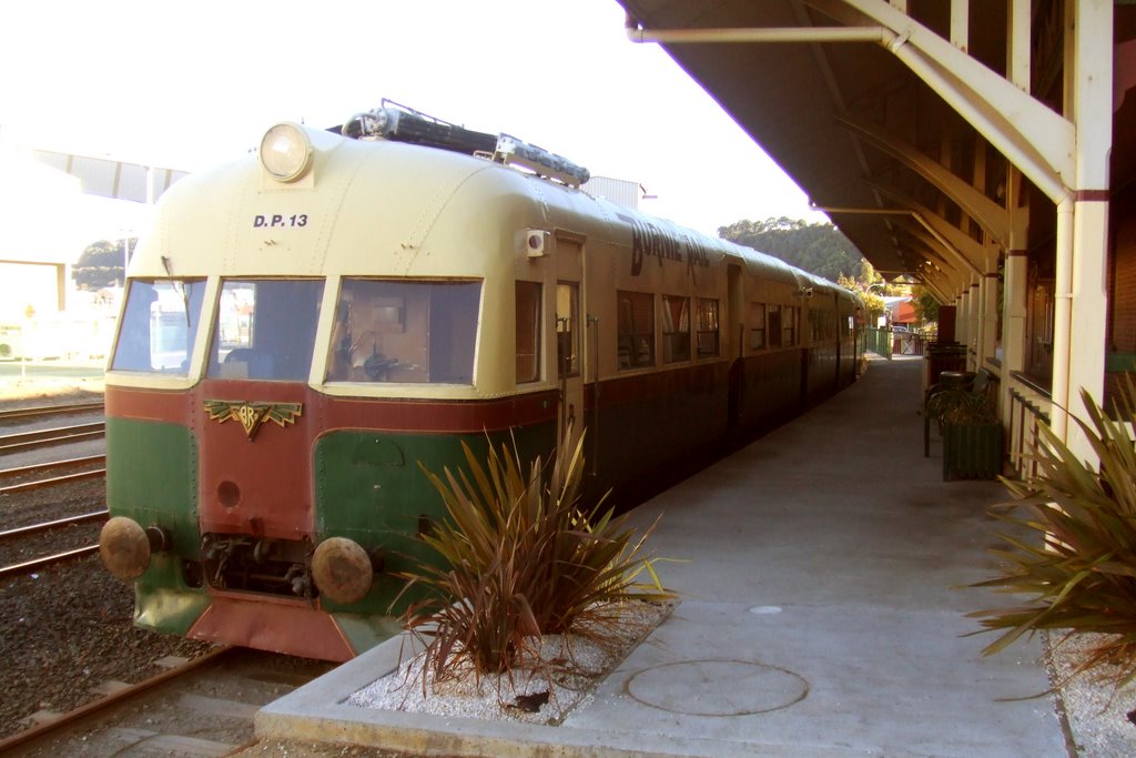
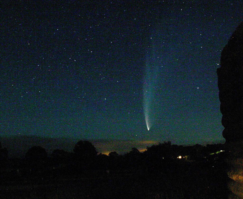
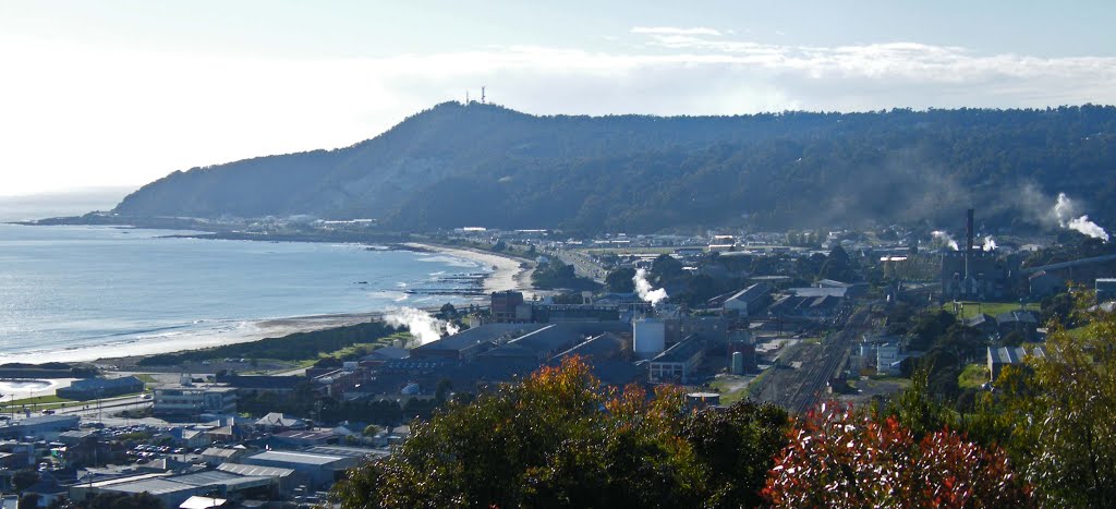
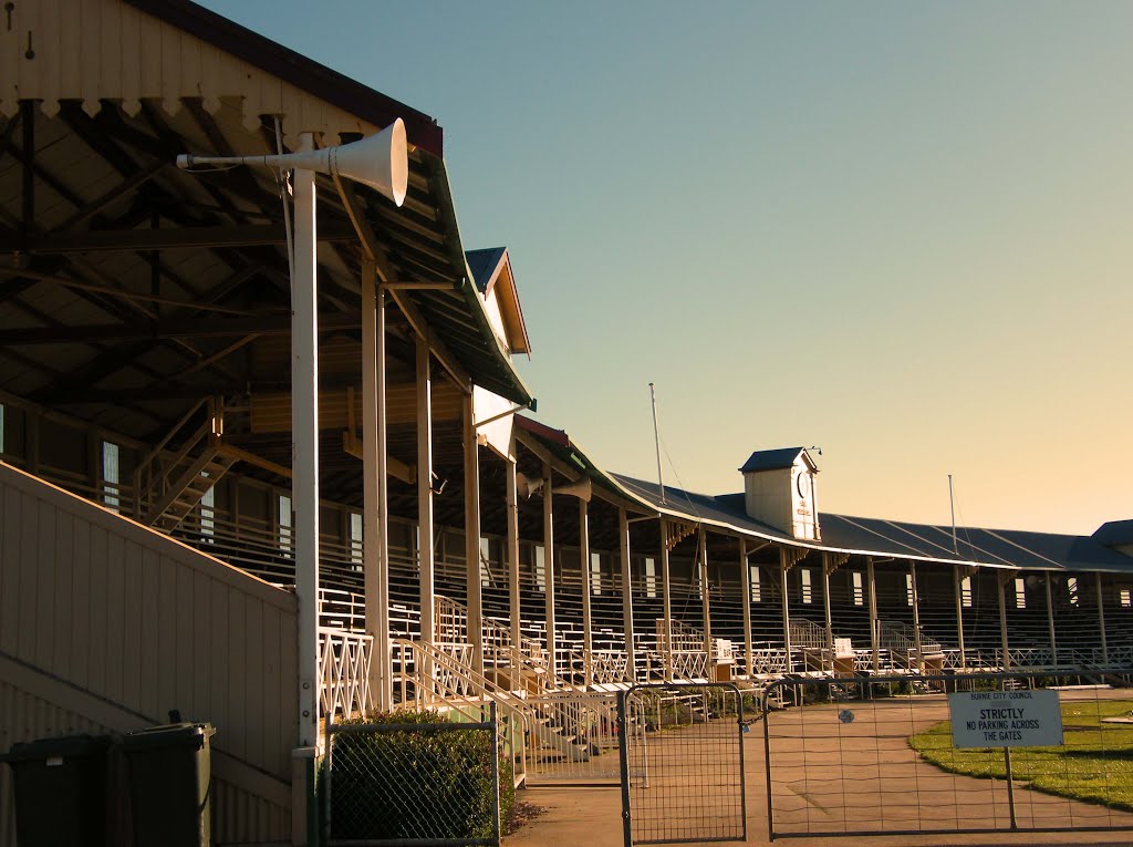
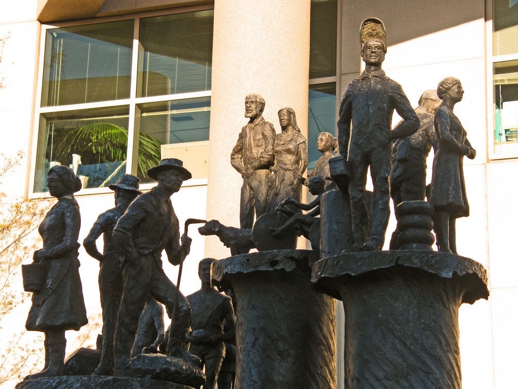
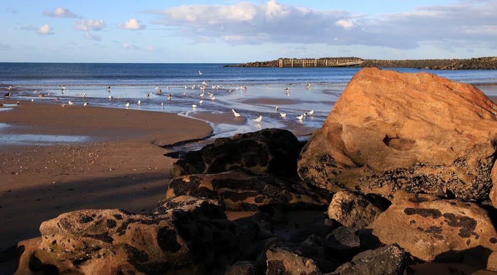
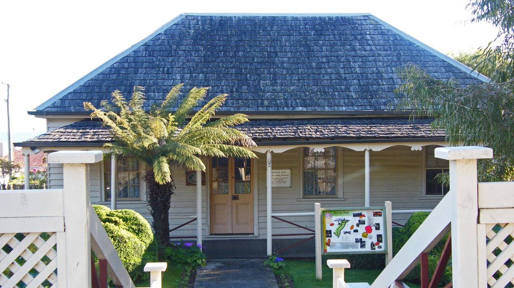
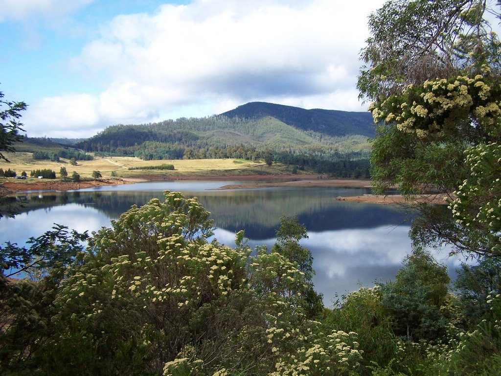
Photos of Upper Burnie
Upper Burnie Weather

Predicción: Overcast clouds
Temperatura: 13.6°
Humedad: 91%
Hora actual: 02:56 PM
Amanece: 06:50 AM
Anochece: 05:41 PM
South Nietta, Australia
Latitude: -41.4346 // Longitude: 146.048
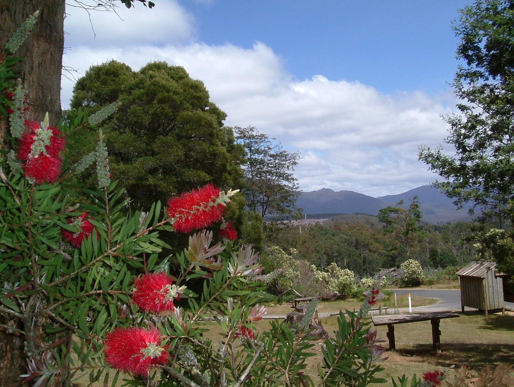
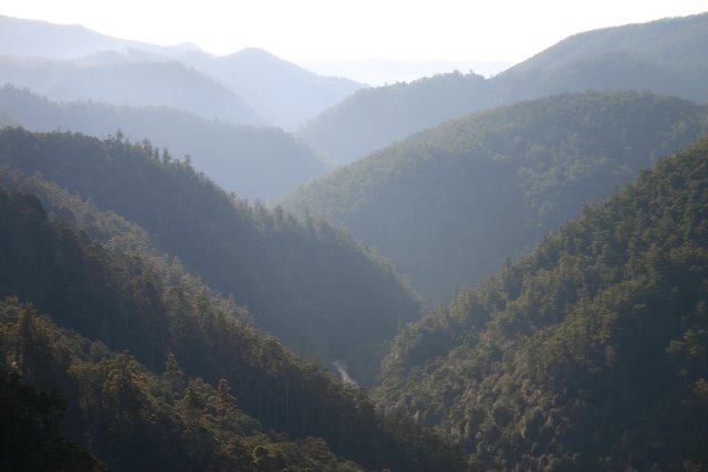
Photos of South Nietta
South Nietta Weather

Predicción: Overcast clouds
Temperatura: 9.8°
Humedad: 95%
Hora actual: 11:00 AM
Amanece: 06:49 AM
Anochece: 05:40 PM


