Distance between  Ungarra and
  Loxton
258.67 mi Straight Distance
424.18 mi Driving Distance
6 hours 46 mins Estimated Driving Time
The straight distance between Ungarra (South Australia) and Loxton (South Australia) is 258.67 mi, but the driving distance is 424.18 mi.
It takes to go from Ungarra to Loxton.
Driving directions from Ungarra to Loxton
Distance in kilometers
Straight distance: 416.20 km. Route distance: 682.51 km
Ungarra, Australia
Latitude: -34.1776 // Longitude: 136.049
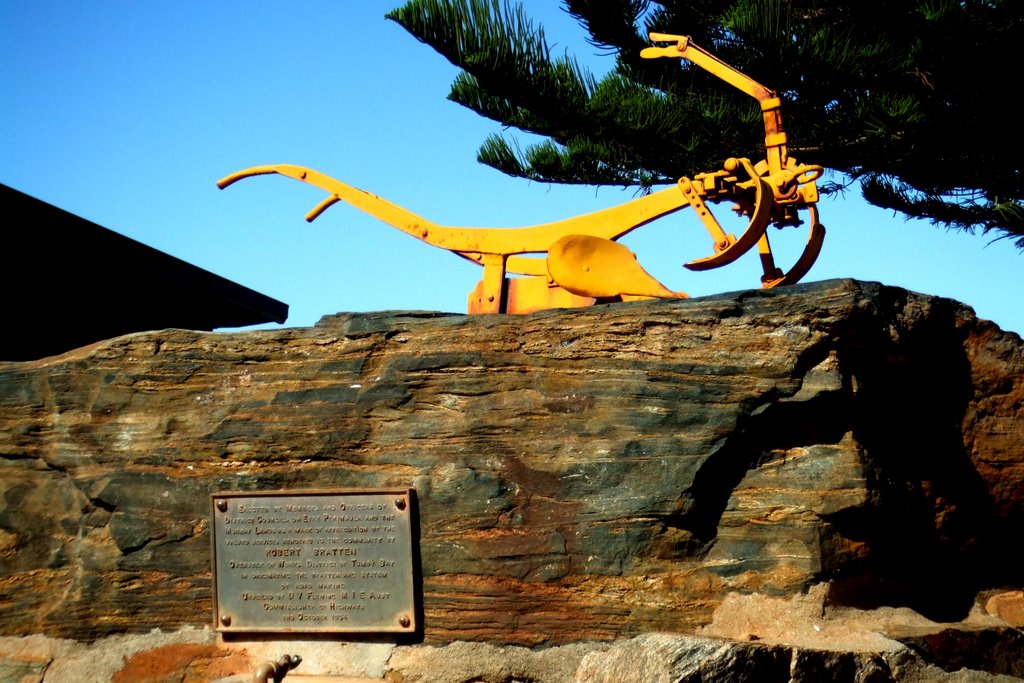
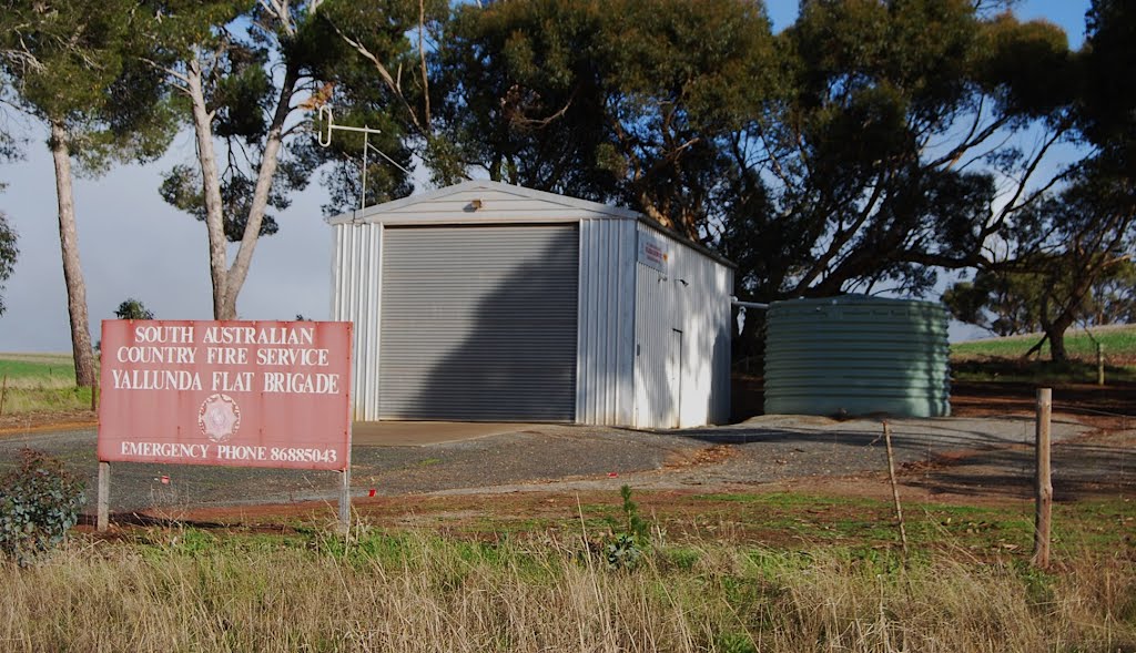
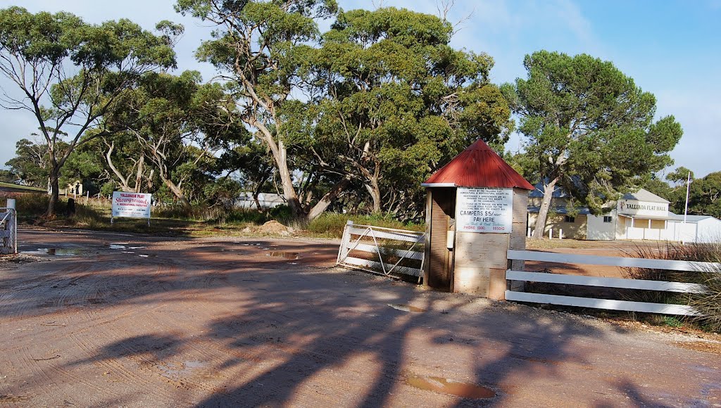
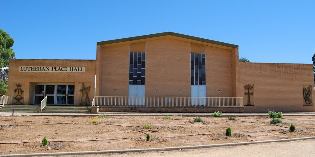
Photos of Ungarra
Ungarra Weather

Predicción: Overcast clouds
Temperatura: 14.5°
Humedad: 88%
Hora actual: 12:00 AM
Amanece: 09:21 PM
Anochece: 08:28 AM
Loxton, Australia
Latitude: -34.4504 // Longitude: 140.57
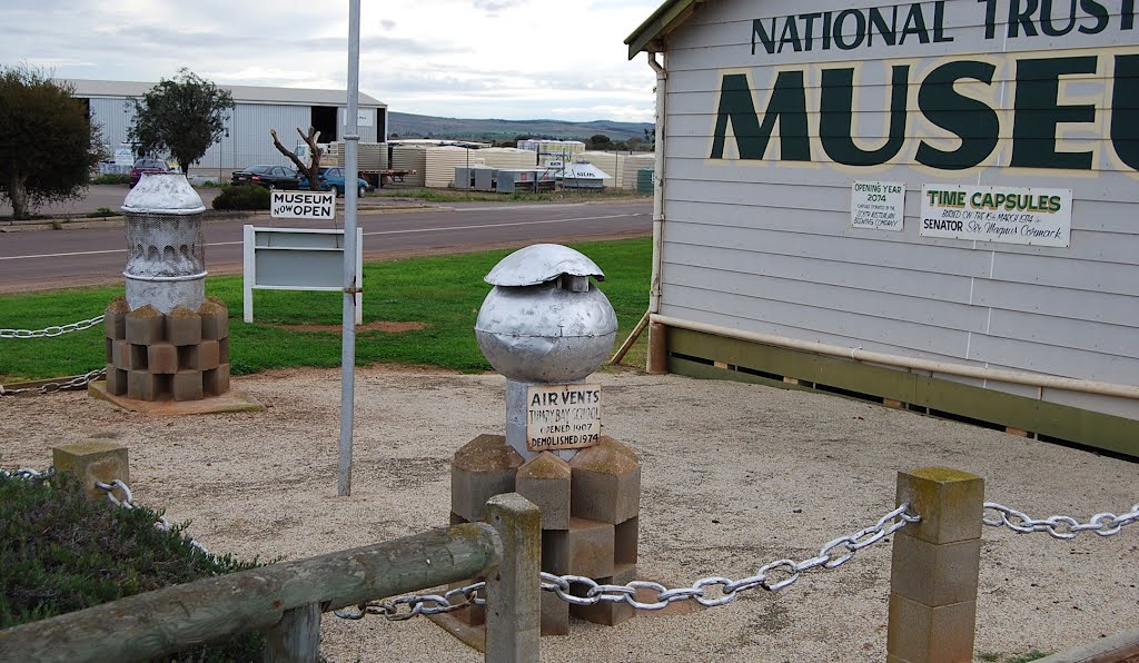
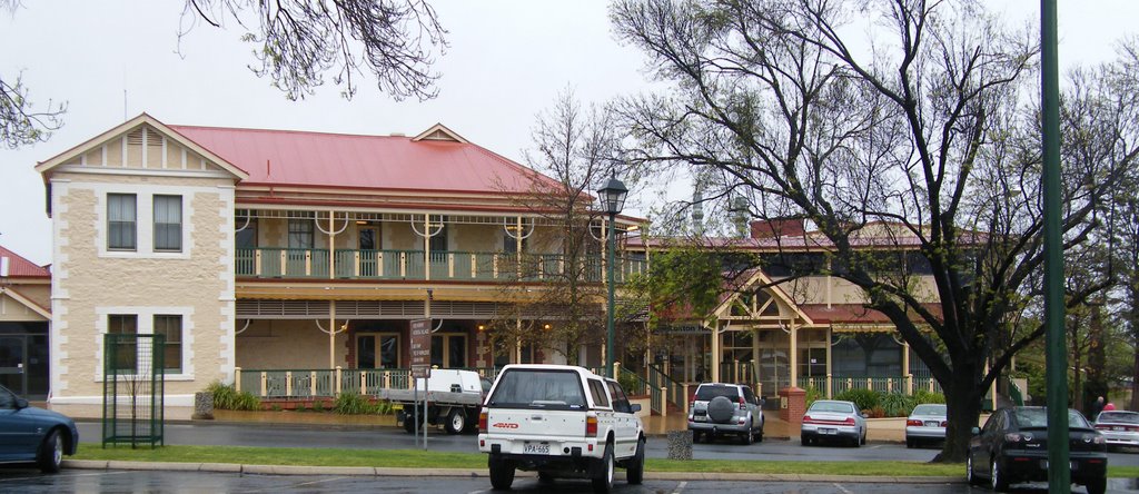
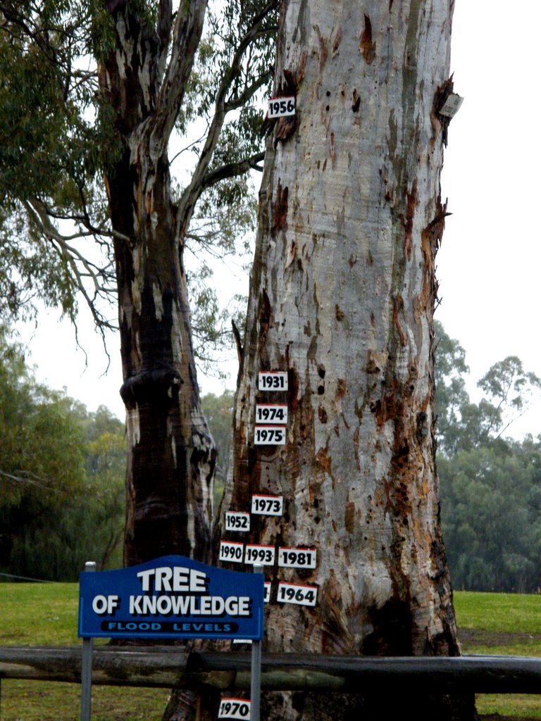
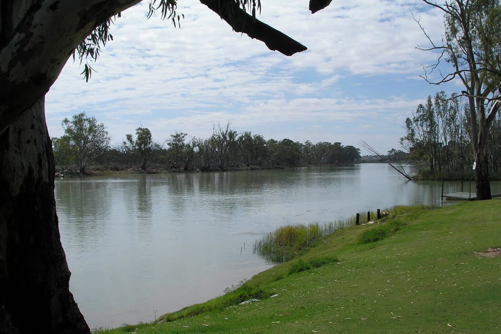
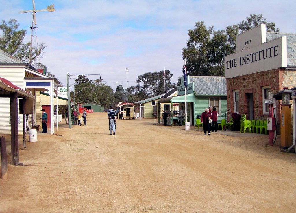
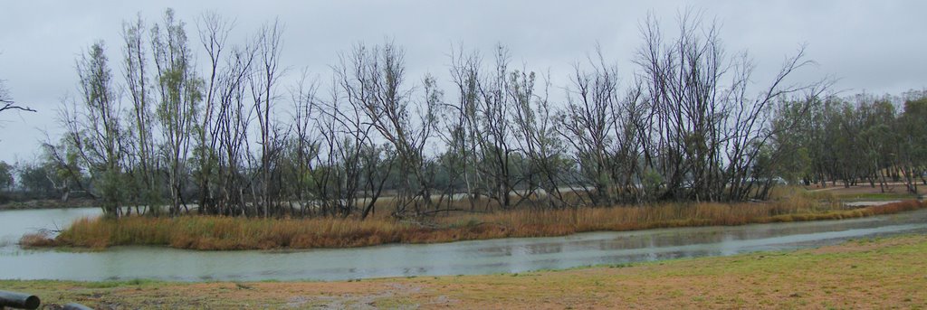
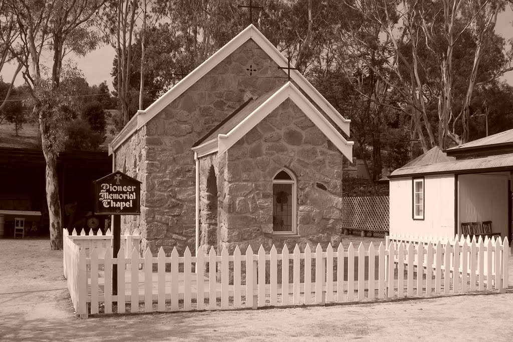
Photos of Loxton
Loxton Weather

Predicción: Overcast clouds
Temperatura: 15.5°
Humedad: 75%
Hora actual: 02:19 AM
Amanece: 06:34 AM
Anochece: 05:39 PM


