Distance between  Tyers and
  Boola
Boola
8.71 mi Straight Distance
15.13 mi Driving Distance
24 minutes Estimated Driving Time
The straight distance between Tyers (Victoria) and Boola (Victoria) is 8.71 mi, but the driving distance is 15.13 mi.
It takes to go from Tyers to Boola.
Driving directions from Tyers to Boola
Distance in kilometers
Straight distance: 14.01 km. Route distance: 24.34 km
Tyers, Australia
Latitude: -38.1487 // Longitude: 146.48
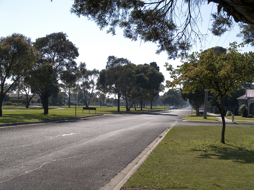
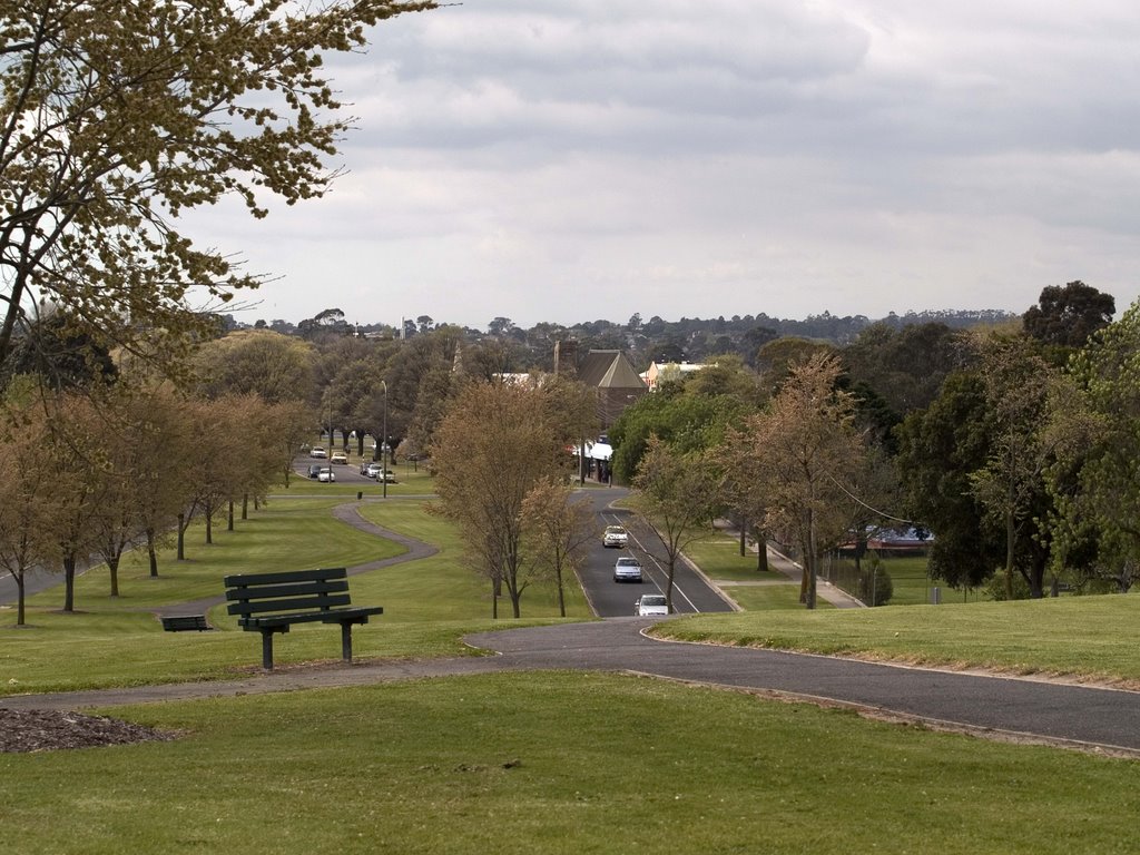
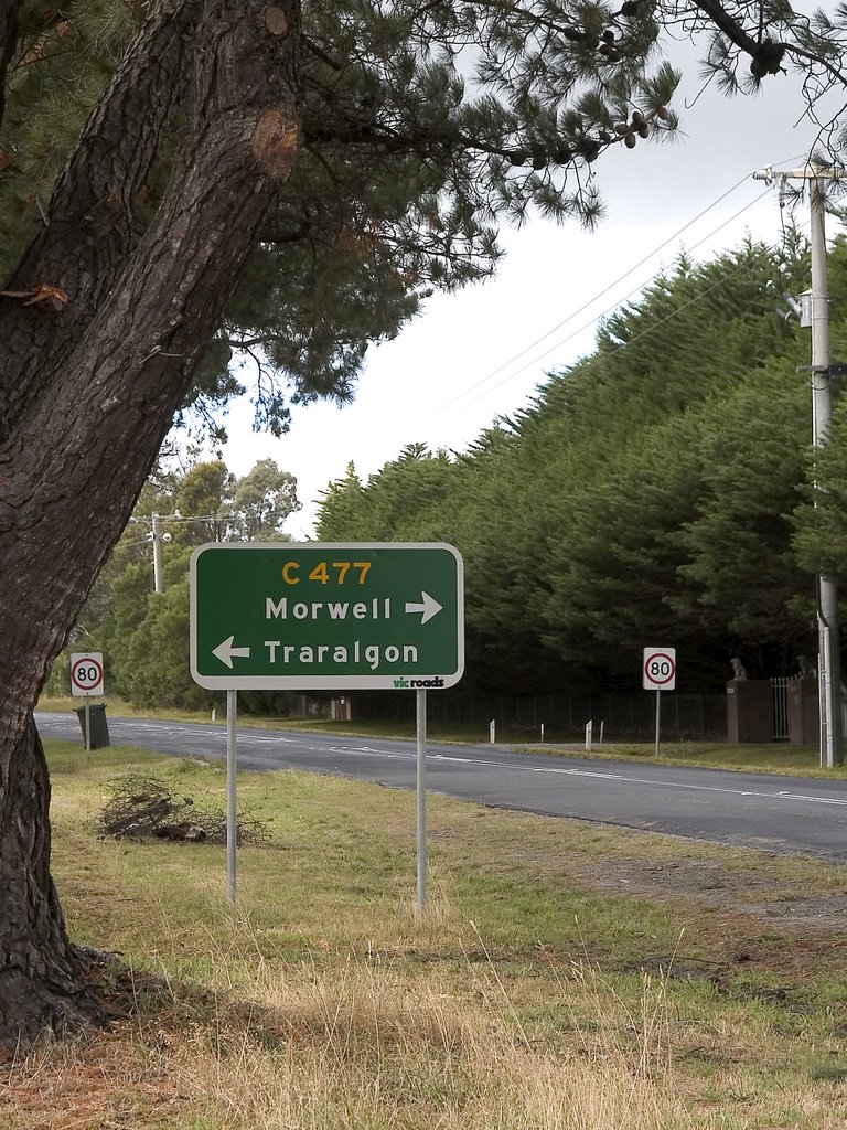
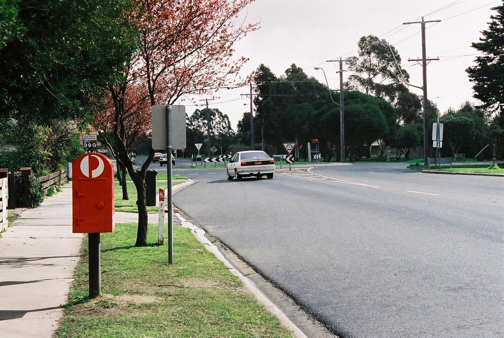
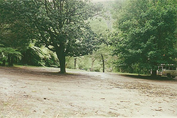
Photos of Tyers
Tyers Weather

Predicción: Overcast clouds
Temperatura: 12.0°
Humedad: 73%
Hora actual: 09:12 PM
Amanece: 06:44 AM
Anochece: 05:42 PM
Boola, Australia
Latitude: -38.023 // Longitude: 146.468
Photos of Boola
Boola Weather

Predicción: Overcast clouds
Temperatura: 9.9°
Humedad: 71%
Hora actual: 10:00 AM
Amanece: 06:43 AM
Anochece: 05:42 PM


