Distance between  Tyalgum and
  Perisher Ski Resort
626.11 mi Straight Distance
811.03 mi Driving Distance
14 hours 26 mins Estimated Driving Time
The straight distance between Tyalgum (New South Wales) and Perisher Ski Resort (New South Wales) is 626.11 mi, but the driving distance is 811.03 mi.
It takes to go from Tyalgum to Perisher Ski Resort.
Driving directions from Tyalgum to Perisher Ski Resort
Distance in kilometers
Straight distance: 1,007.41 km. Route distance: 1,304.95 km
Tyalgum, Australia
Latitude: -28.3567 // Longitude: 153.207
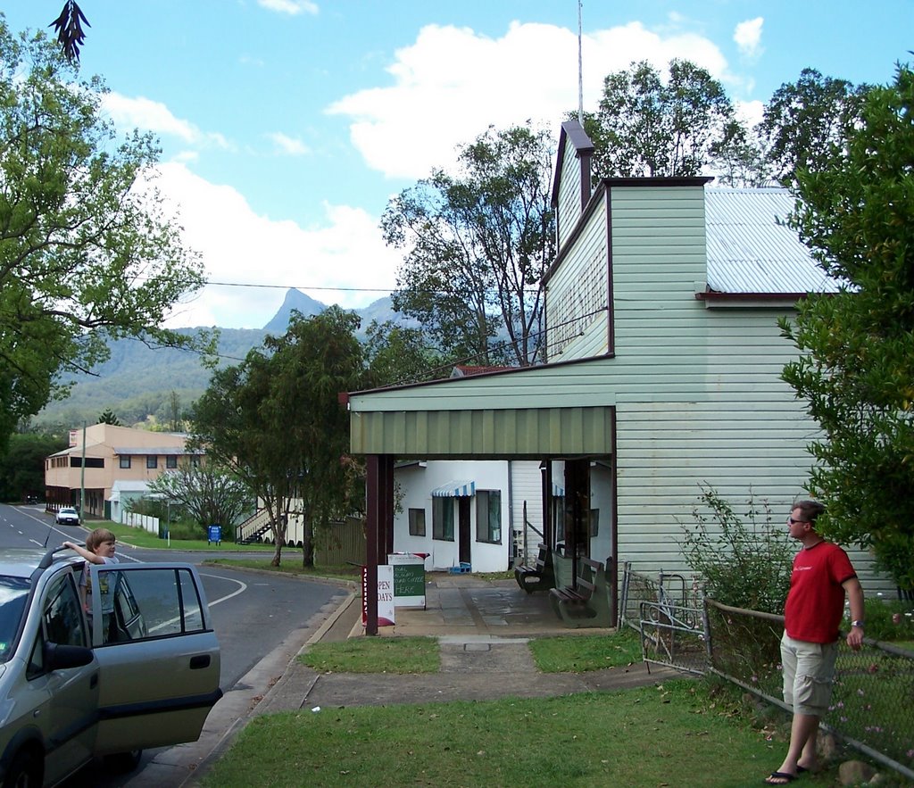
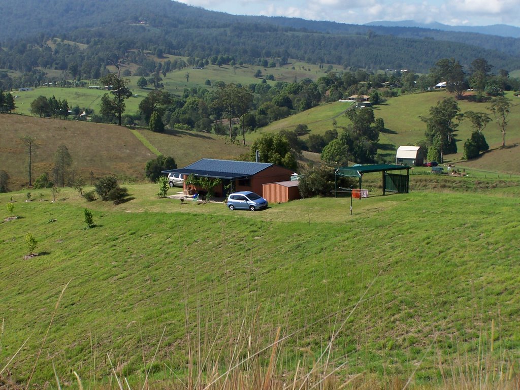
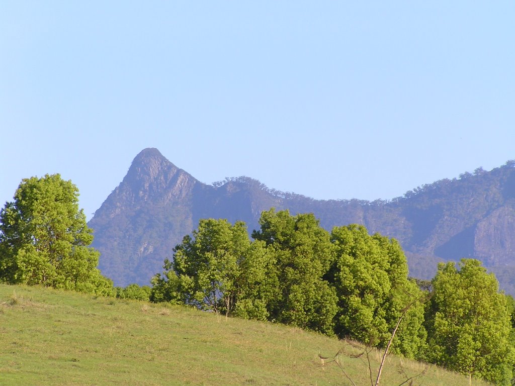
Photos of Tyalgum
Tyalgum Weather

Predicción: Scattered clouds
Temperatura: 18.5°
Humedad: 93%
Hora actual: 12:23 AM
Amanece: 06:06 AM
Anochece: 05:27 PM
Perisher Ski Resort, Australia
Latitude: -36.4332 // Longitude: 148.331
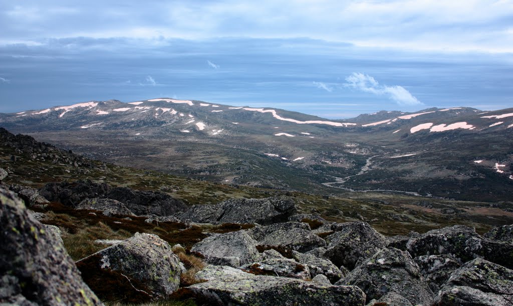
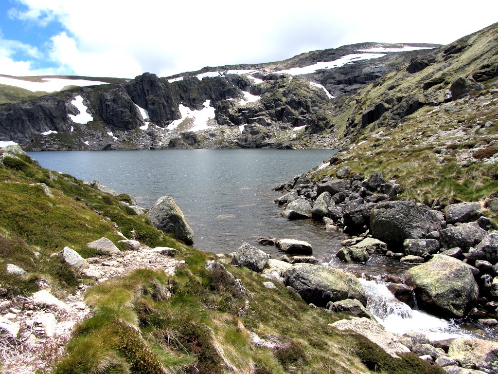
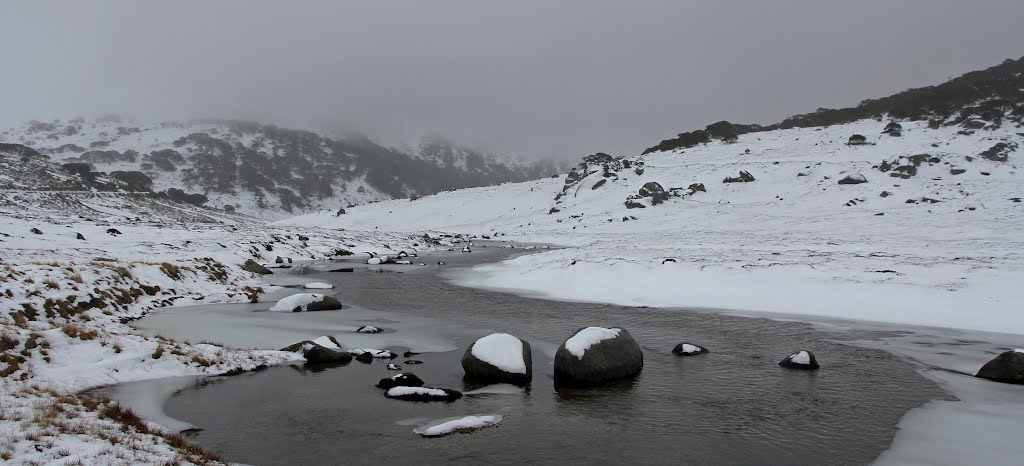
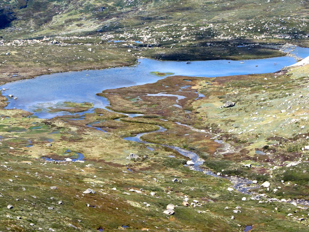
Photos of Perisher Ski Resort
Perisher Ski Resort Weather

Predicción: Scattered clouds
Temperatura: 3.8°
Humedad: 95%
Hora actual: 12:23 AM
Amanece: 06:33 AM
Anochece: 05:38 PM


