Distance between  Tumby Bay and
  Strathalbyn
169.46 mi Straight Distance
407.08 mi Driving Distance
6 hours 28 mins Estimated Driving Time
The straight distance between Tumby Bay (South Australia) and Strathalbyn (South Australia) is 169.46 mi, but the driving distance is 407.08 mi.
It takes 7 hours 13 mins to go from Tumby Bay to Strathalbyn.
Driving directions from Tumby Bay to Strathalbyn
Distance in kilometers
Straight distance: 272.67 km. Route distance: 655.00 km
Tumby Bay, Australia
Latitude: -34.3752 // Longitude: 136.103
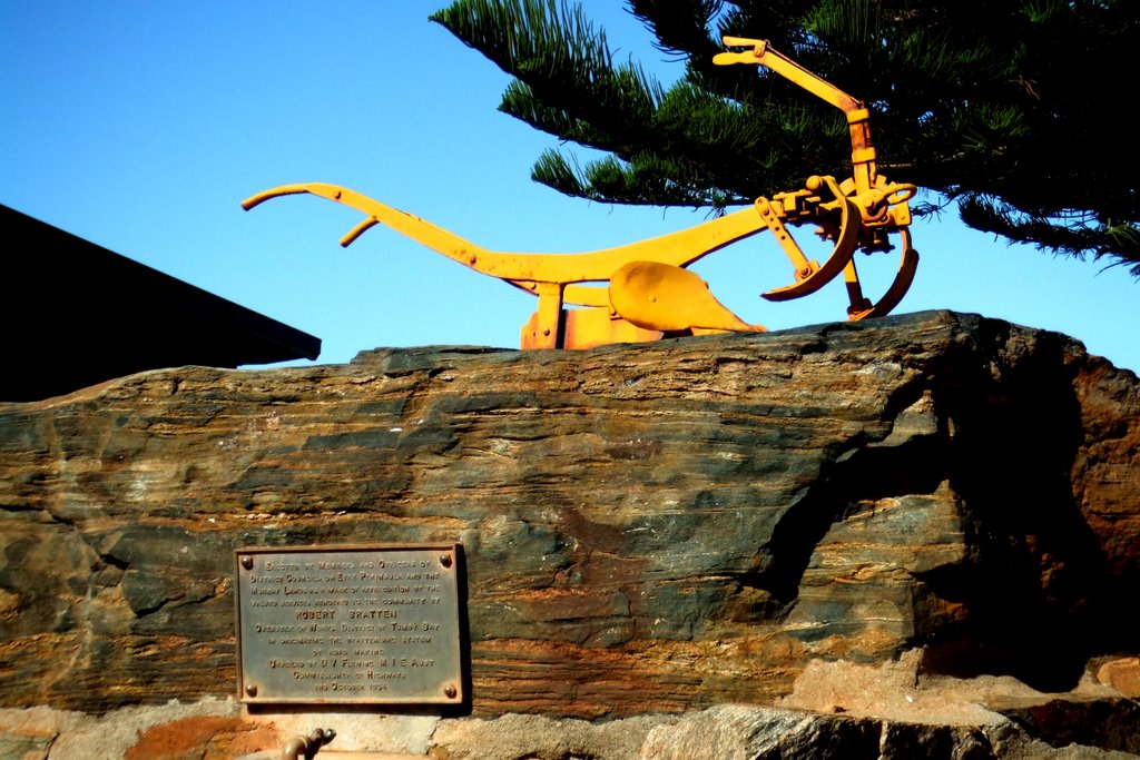
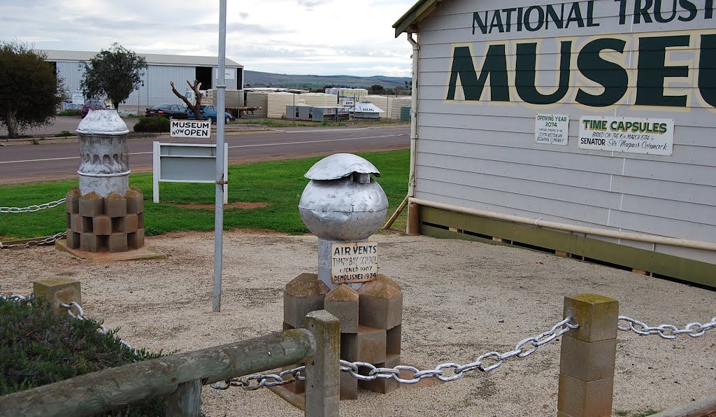
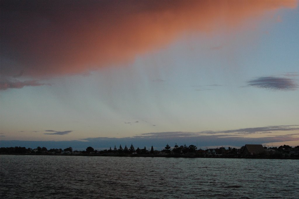
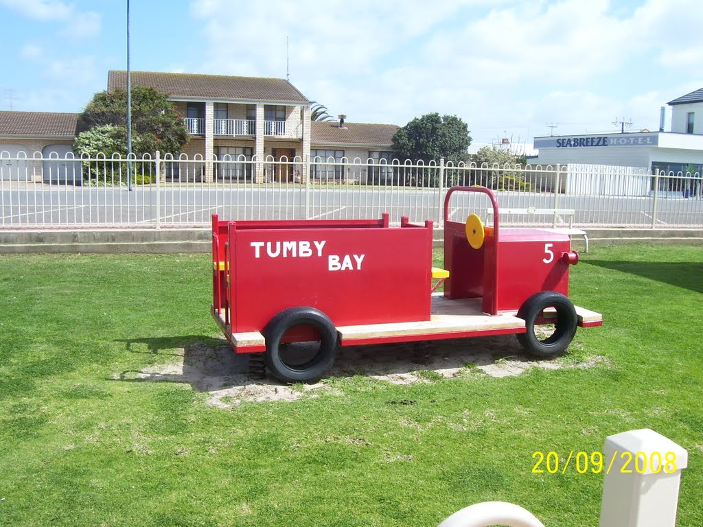
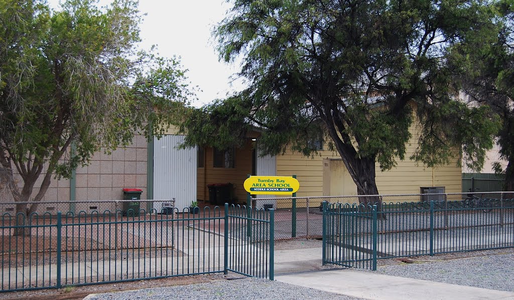
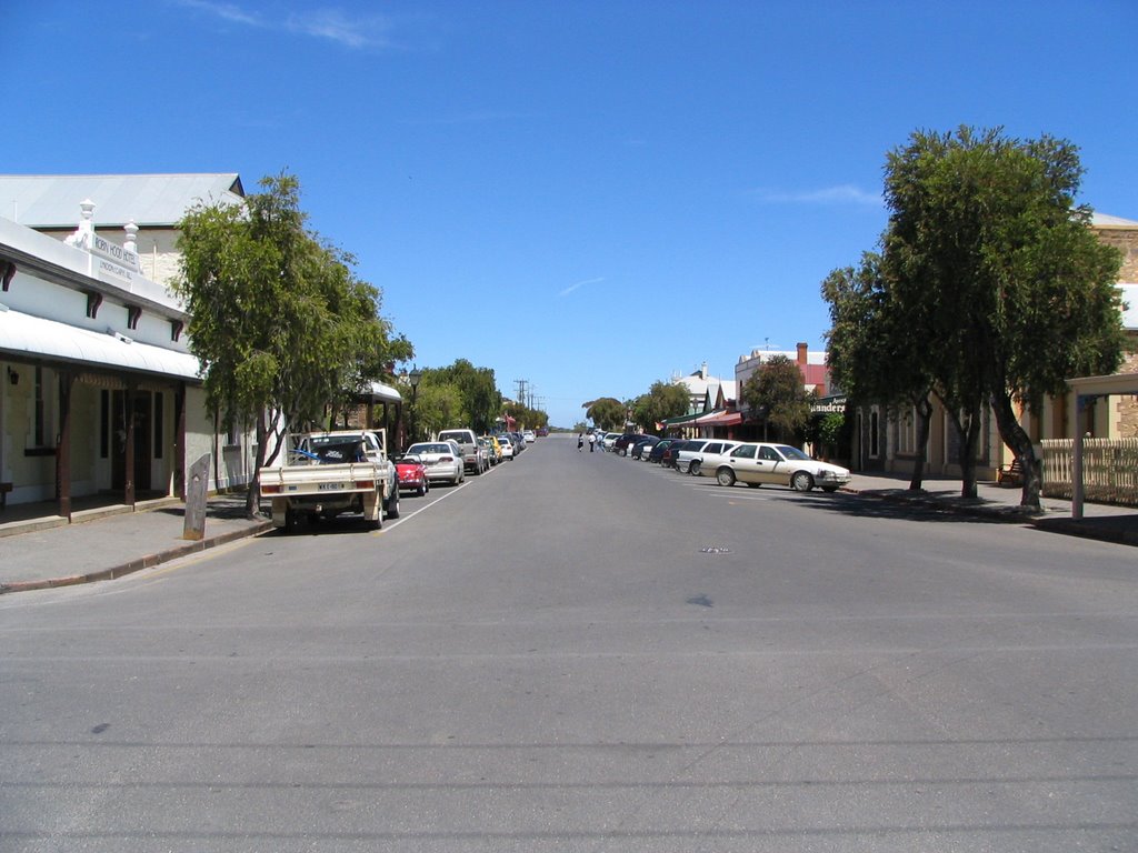
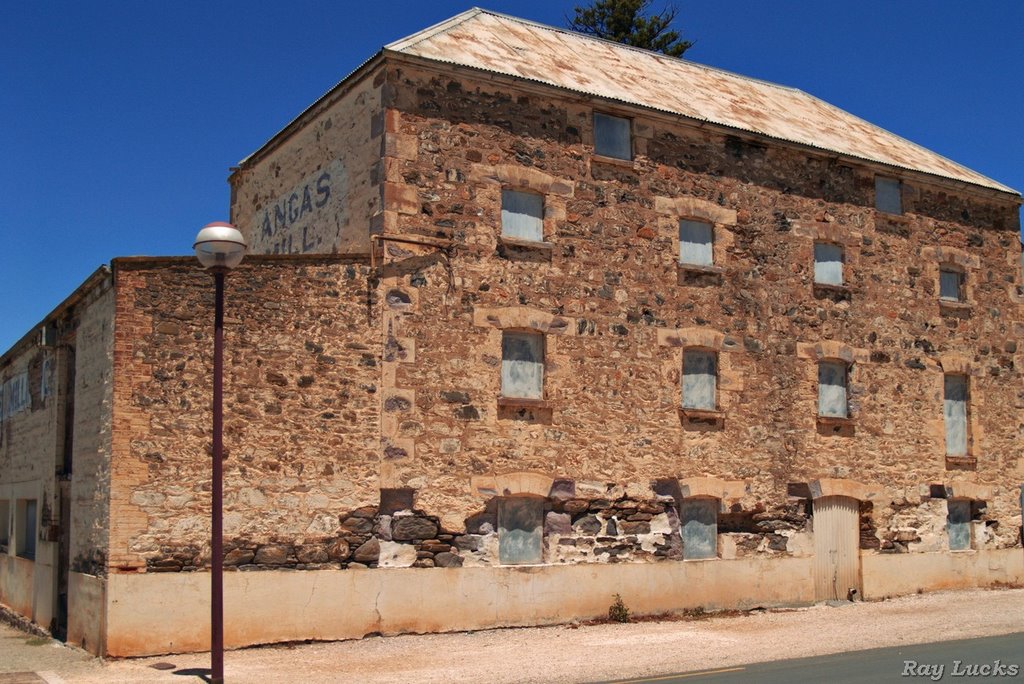
Photos of Tumby Bay
Tumby Bay Weather

Predicción: Clear sky
Temperatura: 15.1°
Humedad: 74%
Hora actual: 04:07 AM
Amanece: 06:50 AM
Anochece: 05:59 PM
Strathalbyn, Australia
Latitude: -35.2589 // Longitude: 138.89
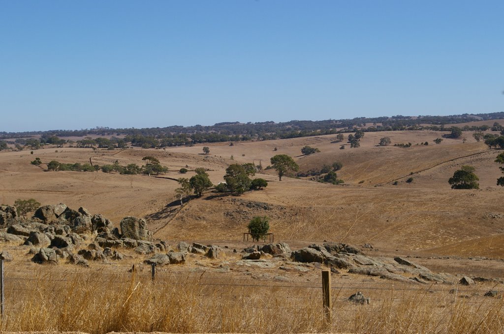
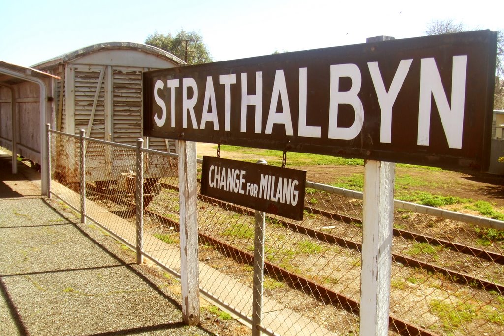
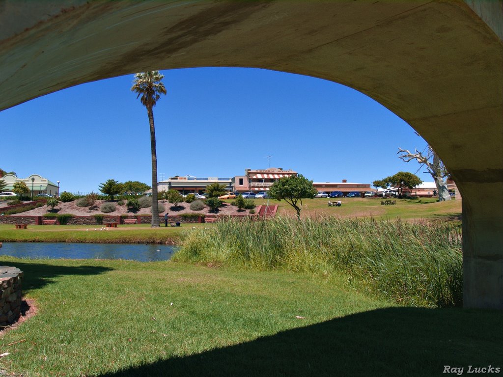
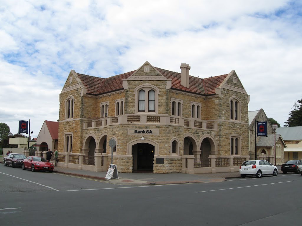
Photos of Strathalbyn
Strathalbyn Weather

Predicción: Broken clouds
Temperatura: 11.4°
Humedad: 98%
Hora actual: 04:07 AM
Amanece: 06:40 AM
Anochece: 05:47 PM


