Distance between  Truro and
  Port Augusta
153.99 mi Straight Distance
184.10 mi Driving Distance
3 hours 9 mins Estimated Driving Time
The straight distance between Truro (South Australia) and Port Augusta (South Australia) is 153.99 mi, but the driving distance is 184.10 mi.
It takes 3 hours 13 mins to go from Truro to Port Augusta.
Driving directions from Truro to Port Augusta
Distance in kilometers
Straight distance: 247.77 km. Route distance: 296.21 km
Truro, Australia
Latitude: -34.4087 // Longitude: 139.127
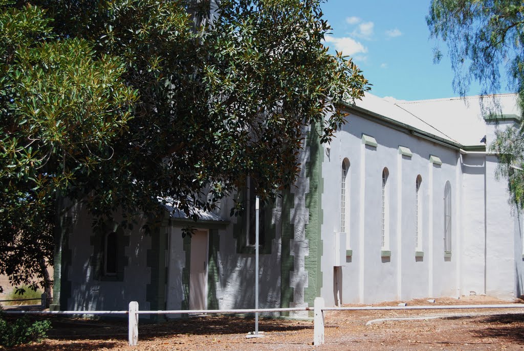
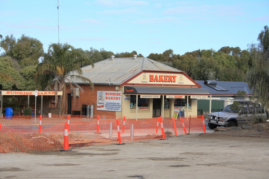
Photos of Truro
Truro Weather

Predicción: Broken clouds
Temperatura: 17.0°
Humedad: 43%
Hora actual: 11:31 AM
Amanece: 06:39 AM
Anochece: 05:45 PM
Port Augusta, Australia
Latitude: -32.4924 // Longitude: 137.763
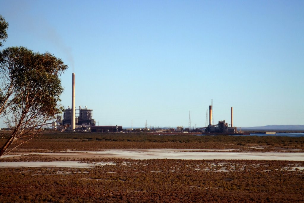
Photos of Port Augusta
Port Augusta Weather

Predicción: Overcast clouds
Temperatura: 18.6°
Humedad: 59%
Hora actual: 11:31 AM
Amanece: 06:43 AM
Anochece: 05:52 PM


