Distance between  Trunkey Creek and
  Pottsville
451.17 mi Straight Distance
587.40 mi Driving Distance
10 hours 16 mins Estimated Driving Time
The straight distance between Trunkey Creek (New South Wales) and Pottsville (New South Wales) is 451.17 mi, but the driving distance is 587.40 mi.
It takes to go from Trunkey Creek to Pottsville.
Driving directions from Trunkey Creek to Pottsville
Distance in kilometers
Straight distance: 725.93 km. Route distance: 945.13 km
Trunkey Creek, Australia
Latitude: -33.8181 // Longitude: 149.324
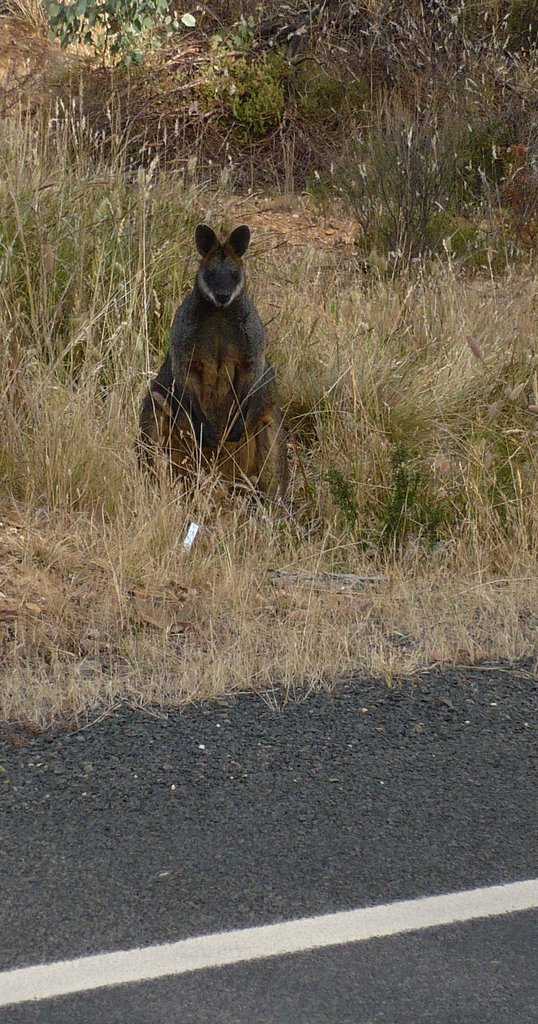
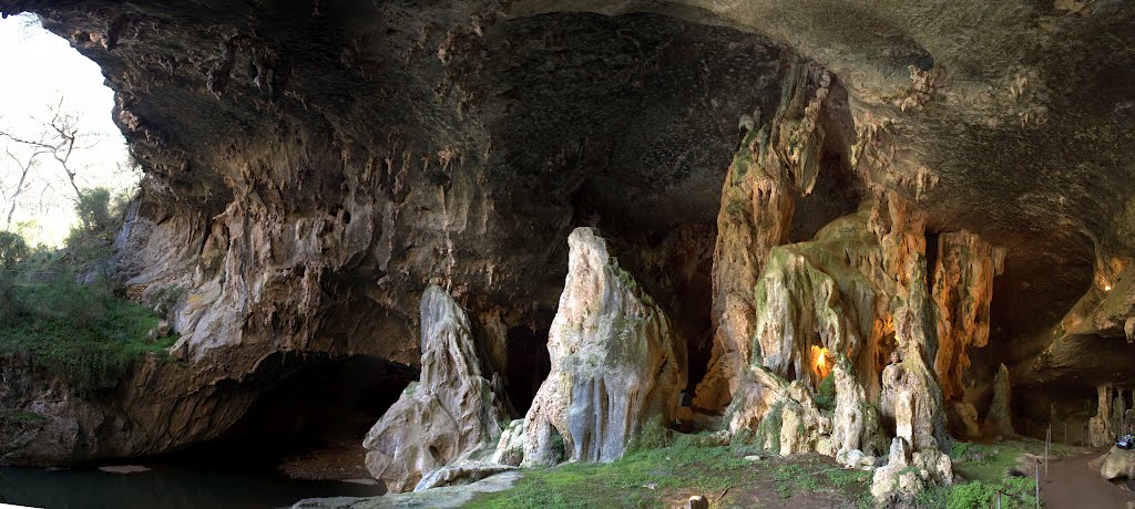
Photos of Trunkey Creek
Trunkey Creek Weather

Predicción: Clear sky
Temperatura: 7.5°
Humedad: 67%
Hora actual: 12:00 AM
Amanece: 08:26 PM
Anochece: 07:38 AM
Pottsville, Australia
Latitude: -28.389 // Longitude: 153.565
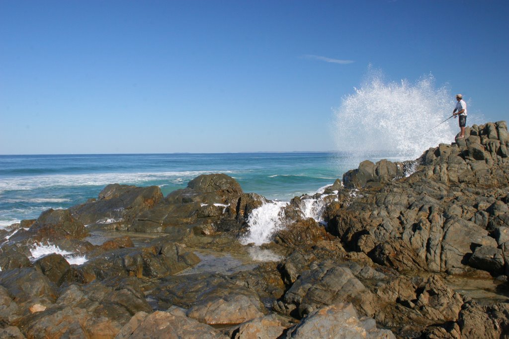
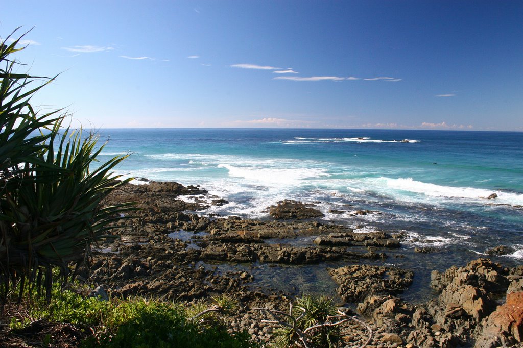
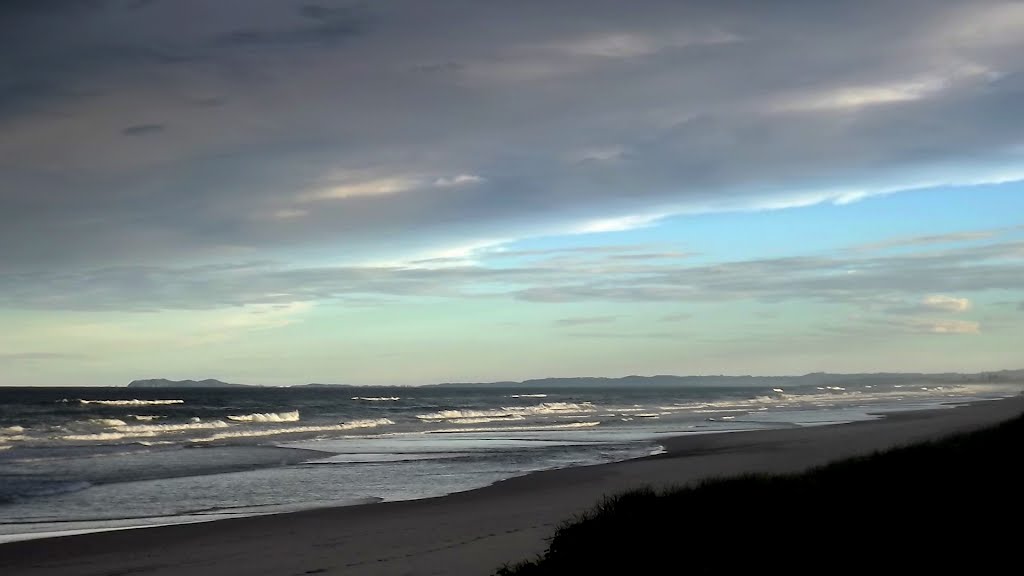
Photos of Pottsville
Pottsville Weather

Predicción: Clear sky
Temperatura: 19.0°
Humedad: 90%
Hora actual: 11:47 PM
Amanece: 06:04 AM
Anochece: 05:26 PM


