Distance between  Trowutta and
  Stonor
152.07 mi Straight Distance
226.94 mi Driving Distance
4 hours 3 mins Estimated Driving Time
The straight distance between Trowutta (Tasmania) and Stonor (Tasmania) is 152.07 mi, but the driving distance is 226.94 mi.
It takes to go from Trowutta to Stonor.
Driving directions from Trowutta to Stonor
Distance in kilometers
Straight distance: 244.68 km. Route distance: 365.14 km
Trowutta, Australia
Latitude: -41.0333 // Longitude: 145.082
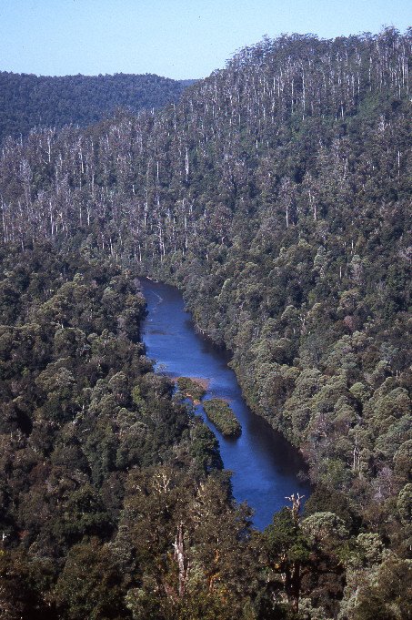
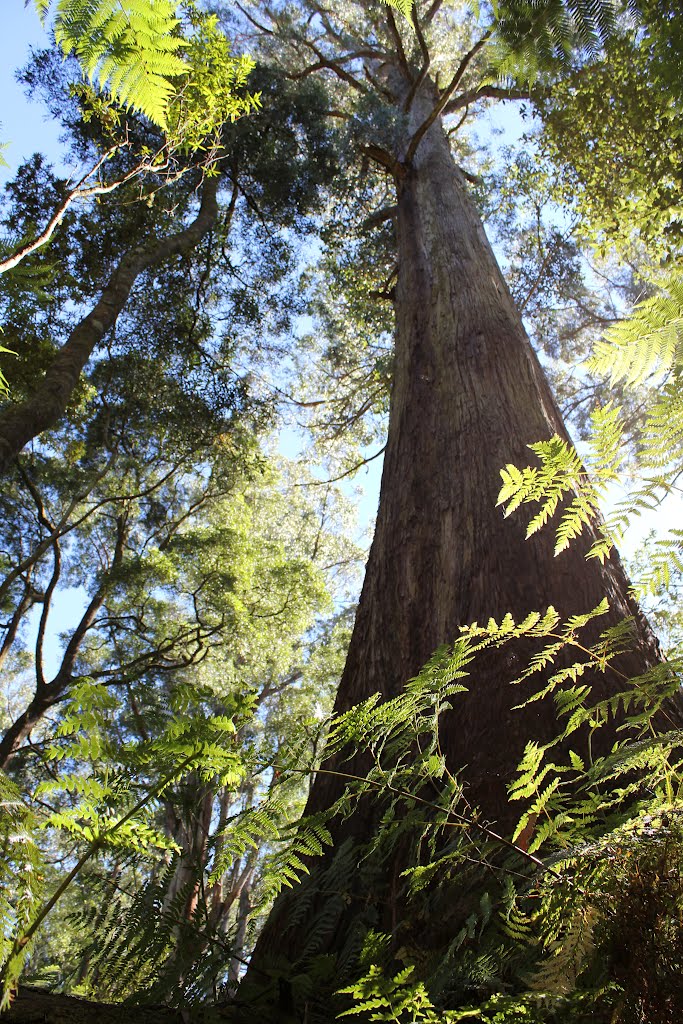
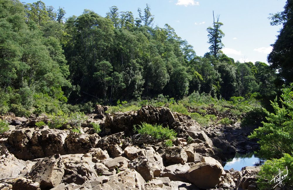
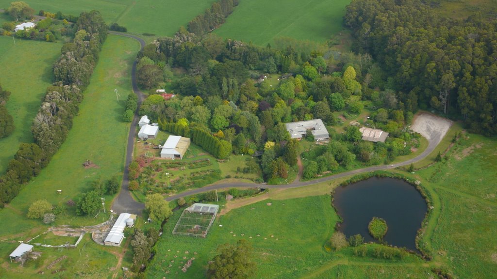
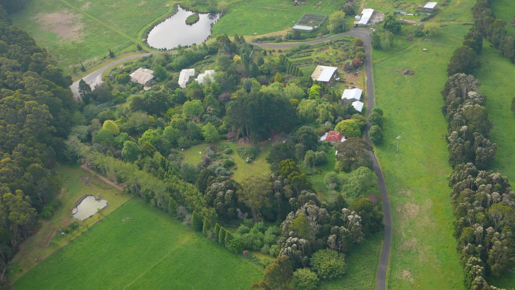
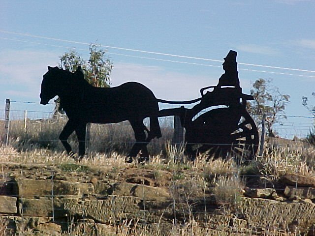
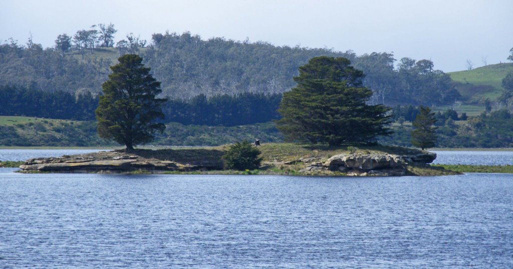
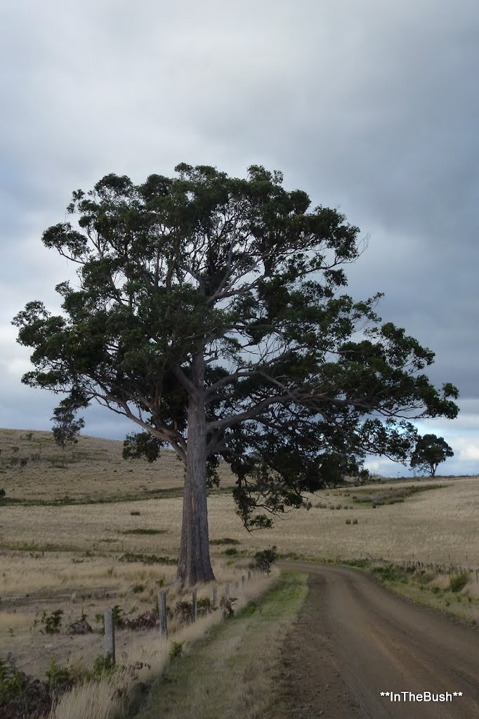
Photos of Trowutta
Trowutta Weather

Predicción: Overcast clouds
Temperatura: 7.3°
Humedad: 91%
Hora actual: 12:00 AM
Amanece: 08:51 PM
Anochece: 07:47 AM
Stonor, Australia
Latitude: -42.4024 // Longitude: 147.391
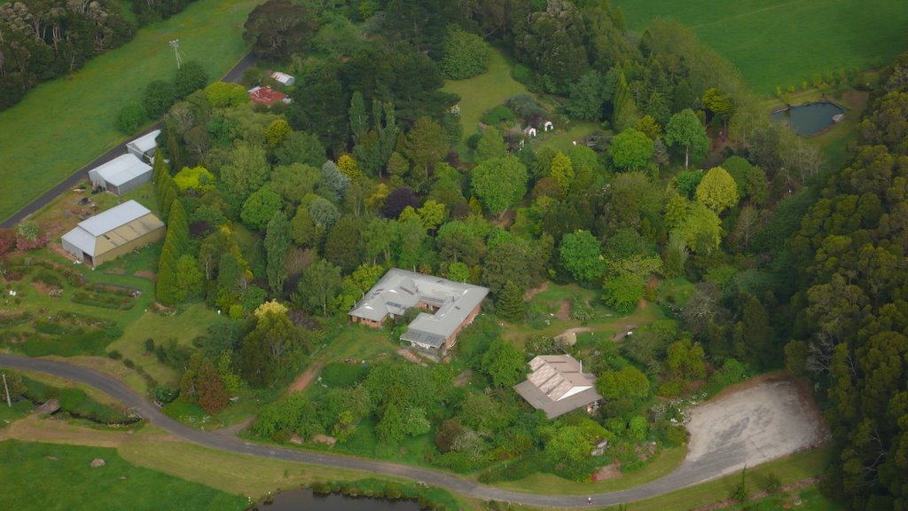
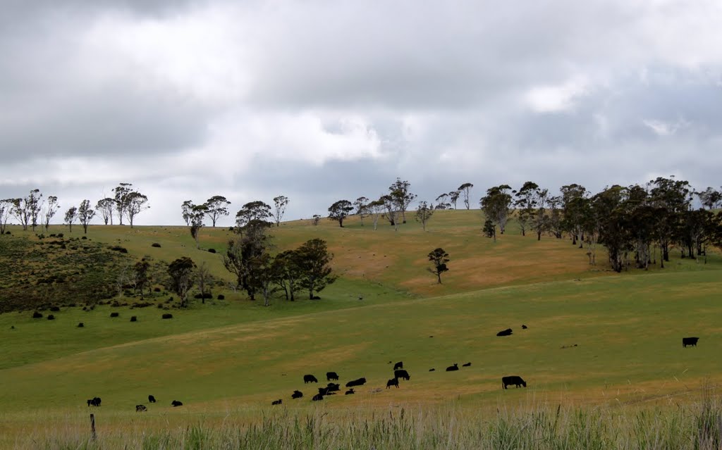
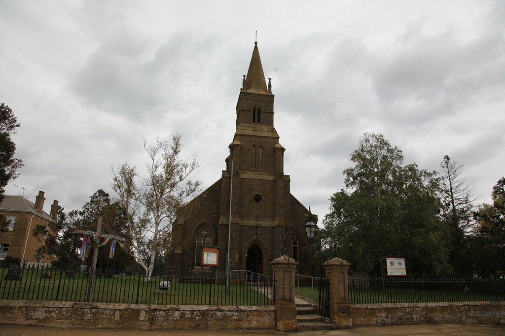
Photos of Stonor
Stonor Weather

Predicción: Few clouds
Temperatura: 6.2°
Humedad: 93%
Hora actual: 12:00 AM
Amanece: 08:44 PM
Anochece: 07:36 AM


