Distance between  Trida and
  Walkerville
405.44 mi Straight Distance
555.58 mi Driving Distance
9 hours 38 mins Estimated Driving Time
The straight distance between Trida (New South Wales) and Walkerville (Victoria) is 405.44 mi, but the driving distance is 555.58 mi.
It takes to go from Trida to Walkerville.
Driving directions from Trida to Walkerville
Distance in kilometers
Straight distance: 652.35 km. Route distance: 893.93 km
Trida, Australia
Latitude: -33.0159 // Longitude: 145.016
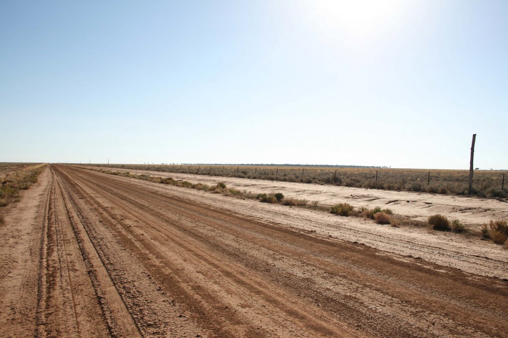
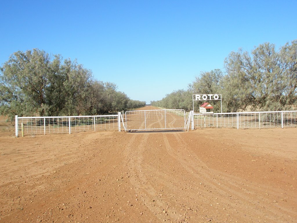
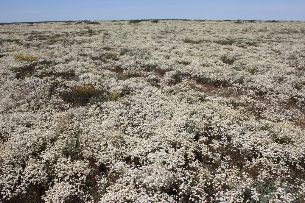
Photos of Trida
Trida Weather

Predicción: Overcast clouds
Temperatura: 14.0°
Humedad: 83%
Hora actual: 12:00 AM
Amanece: 08:45 PM
Anochece: 07:52 AM
Walkerville, Australia
Latitude: -38.83 // Longitude: 145.997
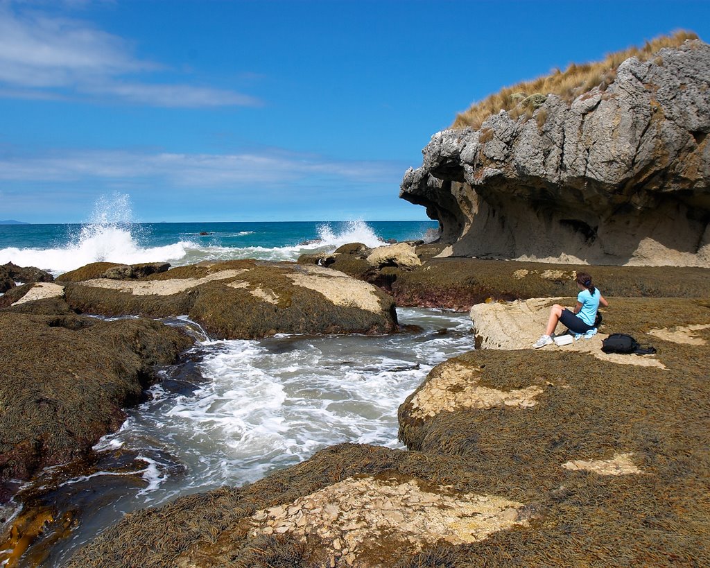
Photos of Walkerville
Walkerville Weather

Predicción: Broken clouds
Temperatura: 14.7°
Humedad: 73%
Hora actual: 12:00 AM
Amanece: 08:48 PM
Anochece: 07:41 AM


