Distance between  Trawool and
  Barrabool
90.65 mi Straight Distance
117.04 mi Driving Distance
1 hour 53 mins Estimated Driving Time
The straight distance between Trawool (Victoria) and Barrabool (Victoria) is 90.65 mi, but the driving distance is 117.04 mi.
It takes 1 hour 59 mins to go from Trawool to Barrabool.
Driving directions from Trawool to Barrabool
Distance in kilometers
Straight distance: 145.86 km. Route distance: 188.32 km
Trawool, Australia
Latitude: -37.1213 // Longitude: 145.217
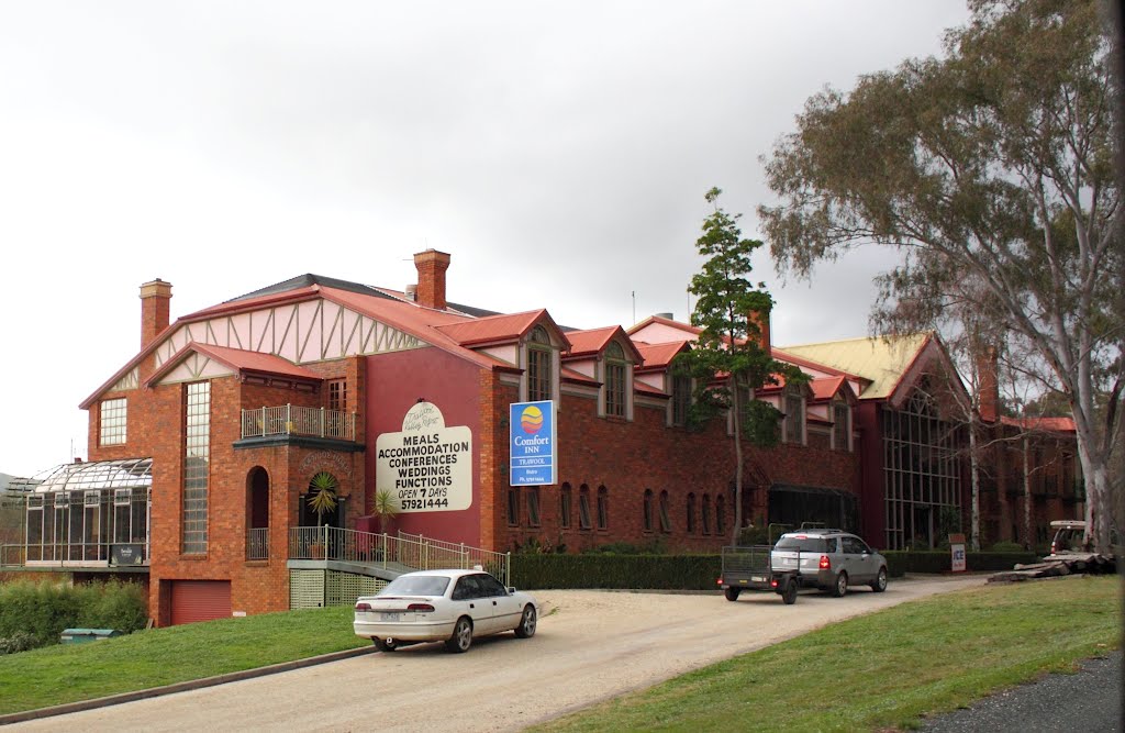
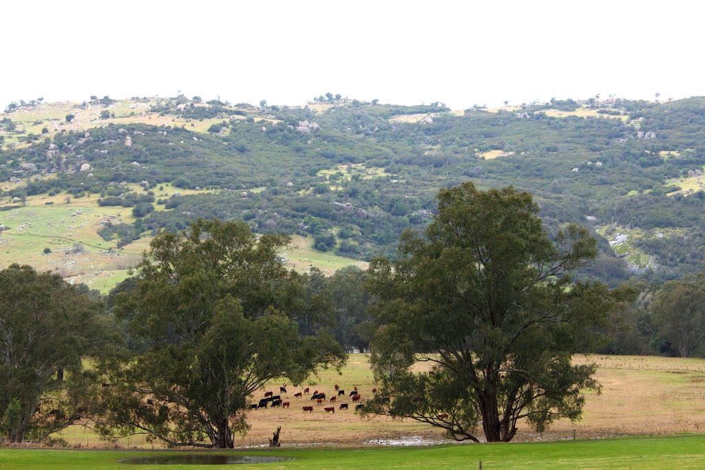
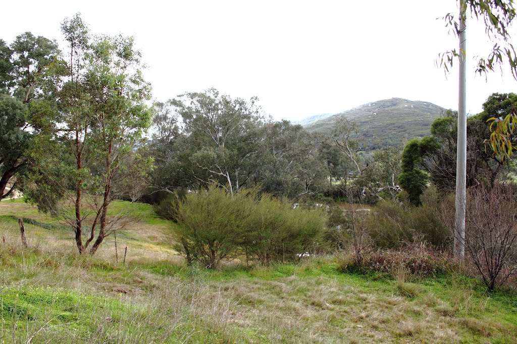
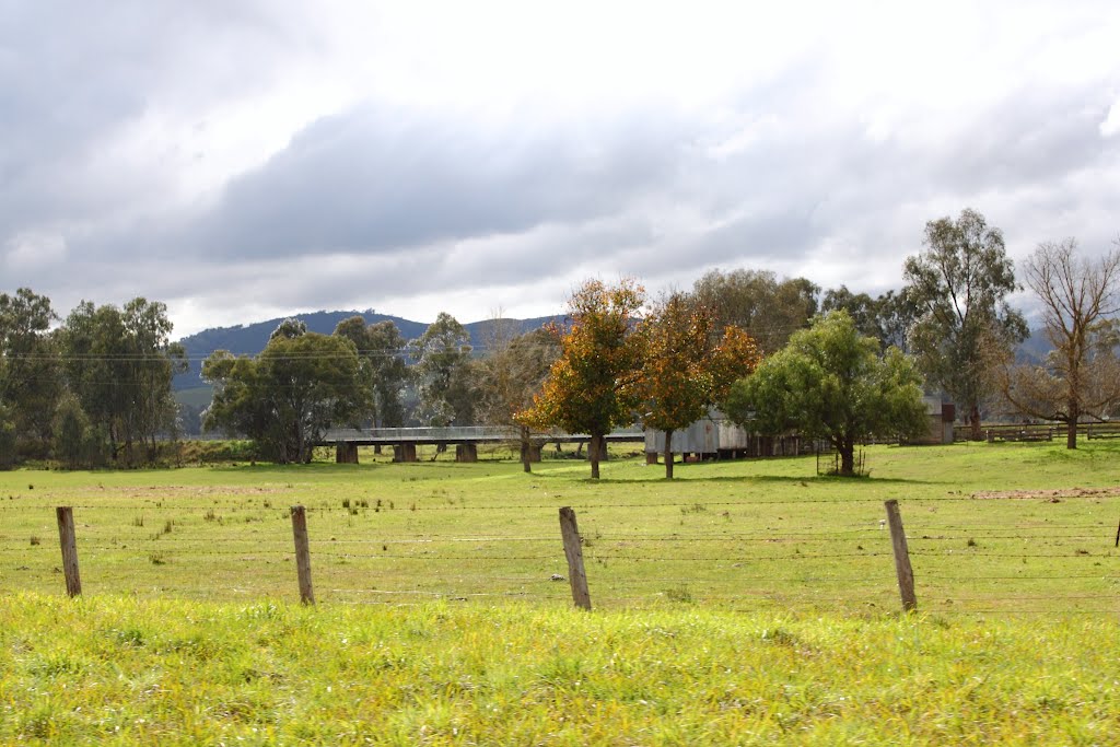
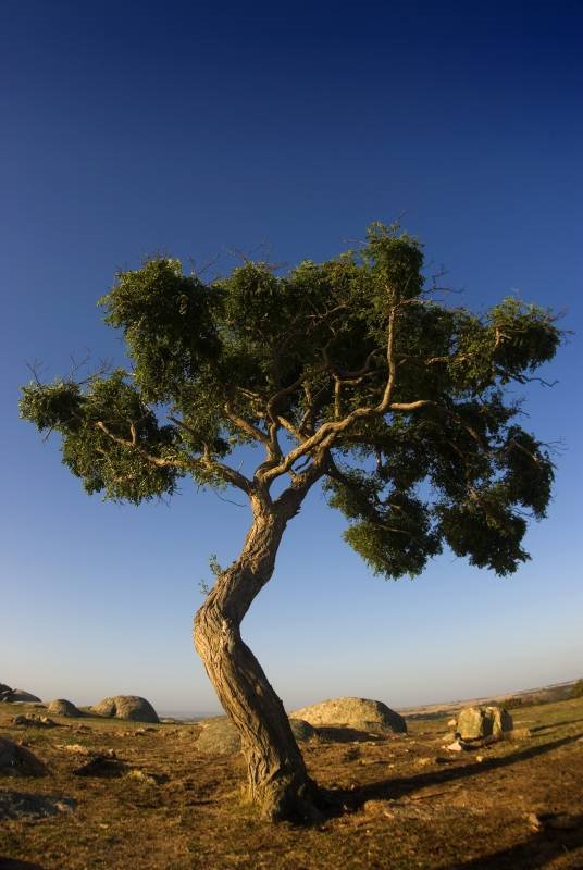
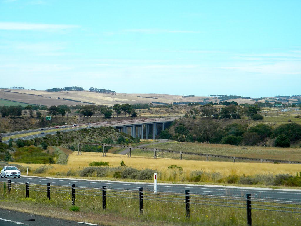
Photos of Trawool
Trawool Weather

Predicción: Light rain
Temperatura: 11.9°
Humedad: 64%
Hora actual: 12:00 AM
Amanece: 08:48 PM
Anochece: 07:48 AM
Barrabool, Australia
Latitude: -38.1693 // Longitude: 144.22
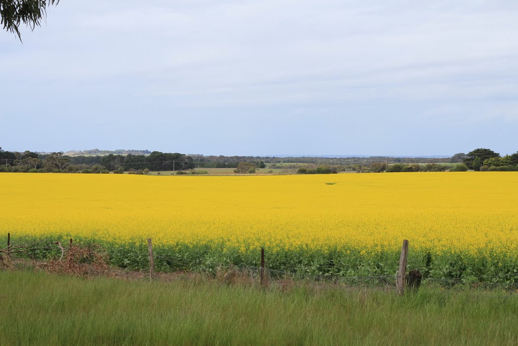
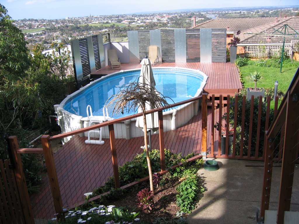
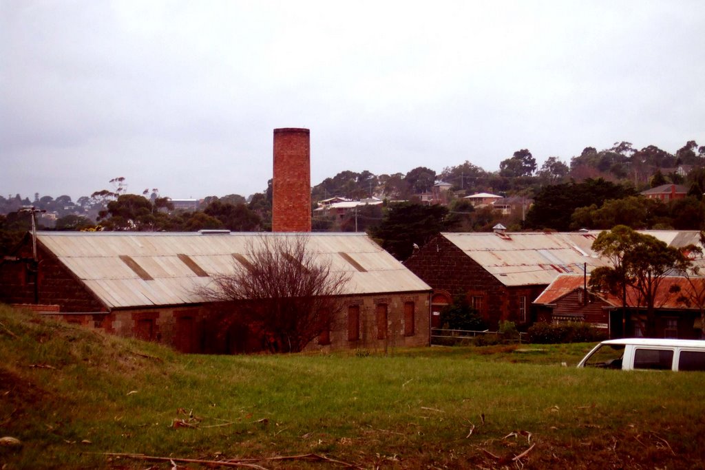
Photos of Barrabool
Barrabool Weather

Predicción: Overcast clouds
Temperatura: 12.1°
Humedad: 92%
Hora actual: 08:19 PM
Amanece: 06:53 AM
Anochece: 05:51 PM


