
Distance between  Top Springs and
  Hermannsburg
515.79 mi Straight Distance
732.29 mi Driving Distance
12 hours 45 mins Estimated Driving Time
The straight distance between Top Springs (Northern Territory) and Hermannsburg (Northern Territory) is 515.79 mi, but the driving distance is 732.29 mi.
It takes to go from Top Springs to Hermannsburg.
Driving directions from Top Springs to Hermannsburg
Distance in kilometers
Straight distance: 829.91 km. Route distance: 1,178.25 km
Top Springs, Australia
Latitude: -16.544 // Longitude: 131.798
Photos of Top Springs


Top Springs Weather

Predicción: Overcast clouds
Temperatura: 24.8°
Humedad: 45%
Hora actual: 12:00 AM
Amanece: 09:21 PM
Anochece: 09:03 AM
Hermannsburg, Australia
Latitude: -23.953 // Longitude: 132.773
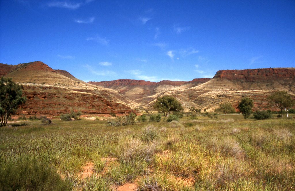
Photos of Hermannsburg


Hermannsburg Weather
Predicción: Broken clouds
Temperatura: 15.6°
Humedad: 39%
Hora actual: 06:45 AM
Amanece: 06:53 AM
Anochece: 06:23 PM


