Distance between  Toowoomba and
  Scottville
548.86 mi Straight Distance
729.51 mi Driving Distance
12 hours 51 mins Estimated Driving Time
The straight distance between Toowoomba (Queensland) and Scottville (Queensland) is 548.86 mi, but the driving distance is 729.51 mi.
It takes to go from Toowoomba to Scottville.
Driving directions from Toowoomba to Scottville
Distance in kilometers
Straight distance: 883.11 km. Route distance: 1,173.78 km
Toowoomba, Australia
Latitude: -27.5643 // Longitude: 151.954
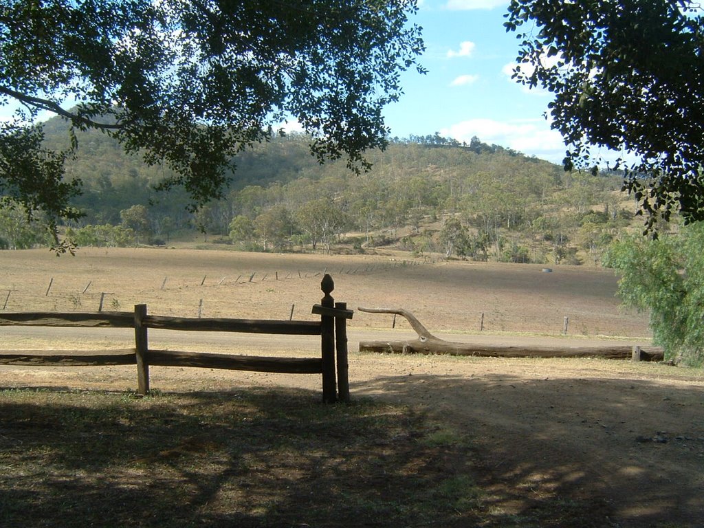
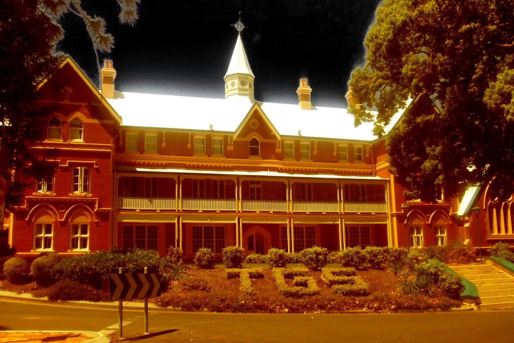
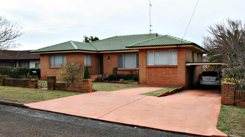
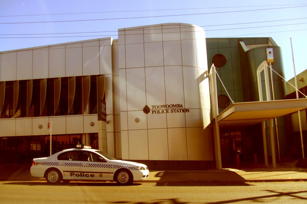
Photos of Toowoomba
Toowoomba Weather

Predicción: Clear sky
Temperatura: 19.3°
Humedad: 66%
Hora actual: 09:29 AM
Amanece: 06:11 AM
Anochece: 05:31 PM
Scottville, Australia
Latitude: -20.5662 // Longitude: 147.833
Photos of Scottville
Scottville Weather

Predicción: Overcast clouds
Temperatura: 24.6°
Humedad: 71%
Hora actual: 09:29 AM
Amanece: 06:21 AM
Anochece: 05:54 PM


