Distance between  Toolamba and
  Rutherglen
69.41 mi Straight Distance
90.04 mi Driving Distance
1 hour 37 mins Estimated Driving Time
The straight distance between Toolamba (Victoria) and Rutherglen (Victoria) is 69.41 mi, but the driving distance is 90.04 mi.
It takes 1 hour 47 mins to go from Toolamba to Rutherglen.
Driving directions from Toolamba to Rutherglen
Distance in kilometers
Straight distance: 111.67 km. Route distance: 144.87 km
Toolamba, Australia
Latitude: -36.4902 // Longitude: 145.339
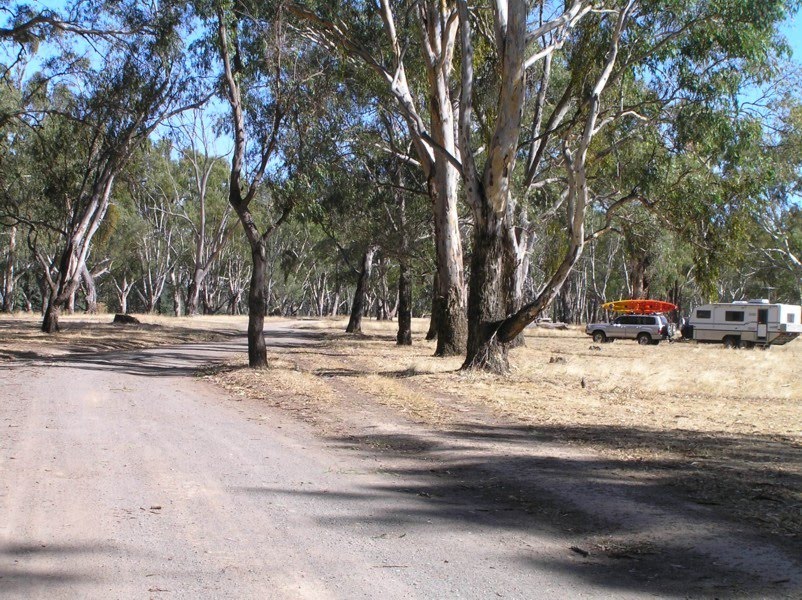
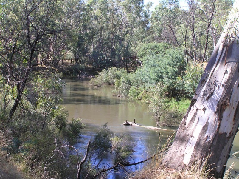
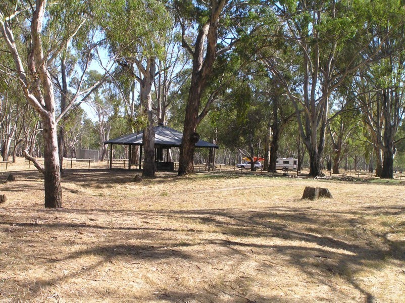
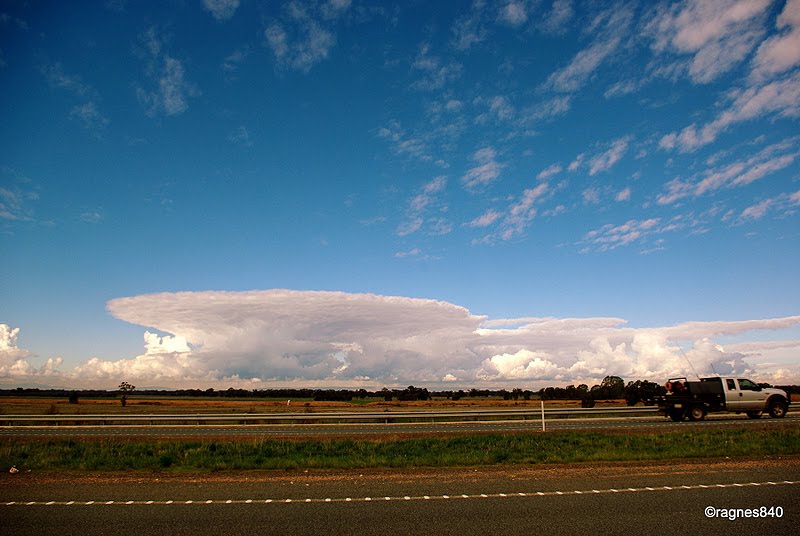
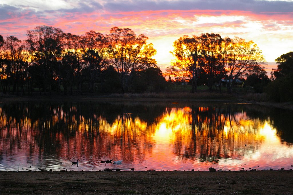
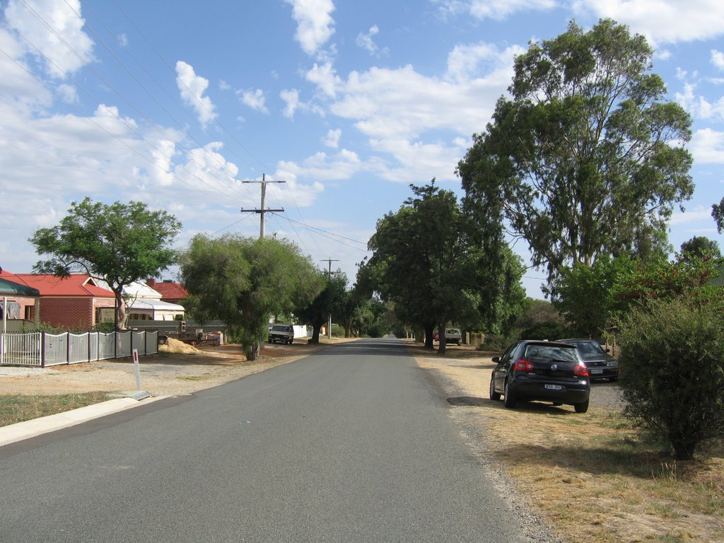
Photos of Toolamba
Toolamba Weather

Predicción: Clear sky
Temperatura: 17.8°
Humedad: 48%
Hora actual: 10:30 AM
Amanece: 06:47 AM
Anochece: 05:47 PM
Rutherglen, Australia
Latitude: -36.055 // Longitude: 146.462
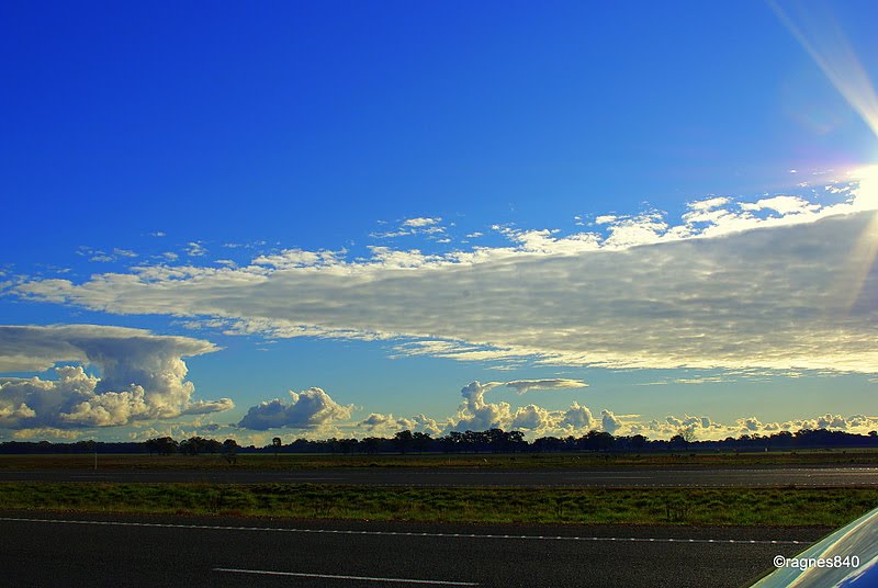
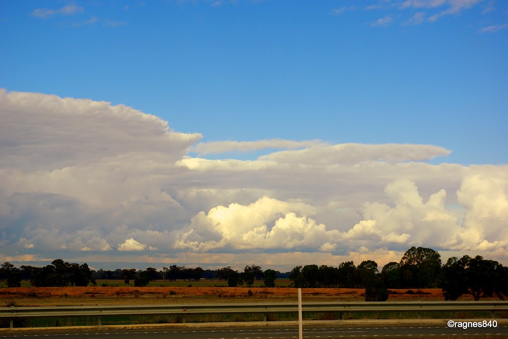
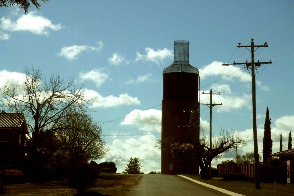
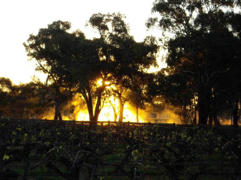
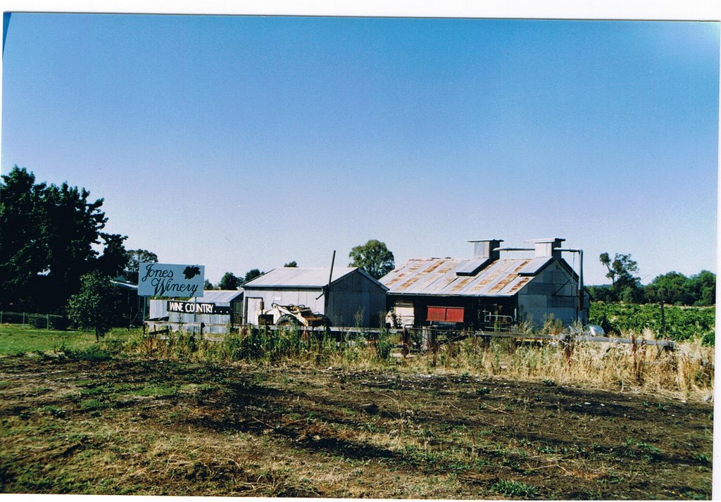
Photos of Rutherglen
Rutherglen Weather

Predicción: Clear sky
Temperatura: 15.6°
Humedad: 75%
Hora actual: 10:30 AM
Amanece: 06:42 AM
Anochece: 05:44 PM


