Distance between  Toogoolawah and
  Tara
Tara
118.55 mi Straight Distance
163.73 mi Driving Distance
2 hours 51 mins Estimated Driving Time
The straight distance between Toogoolawah (Queensland) and Tara (Queensland) is 118.55 mi, but the driving distance is 163.73 mi.
It takes to go from Toogoolawah to Tara.
Driving directions from Toogoolawah to Tara
Distance in kilometers
Straight distance: 190.74 km. Route distance: 263.45 km
Toogoolawah, Australia
Latitude: -27.0877 // Longitude: 152.377
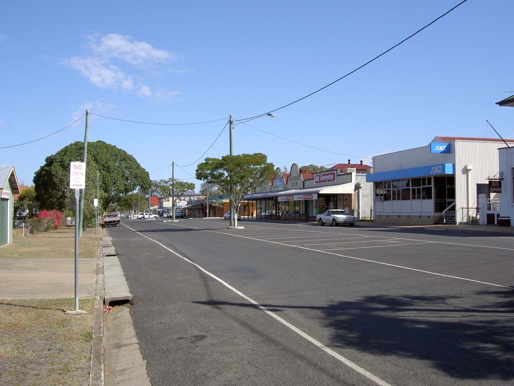
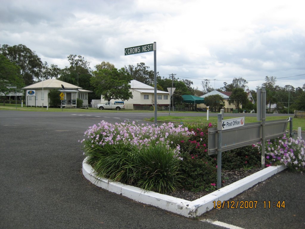
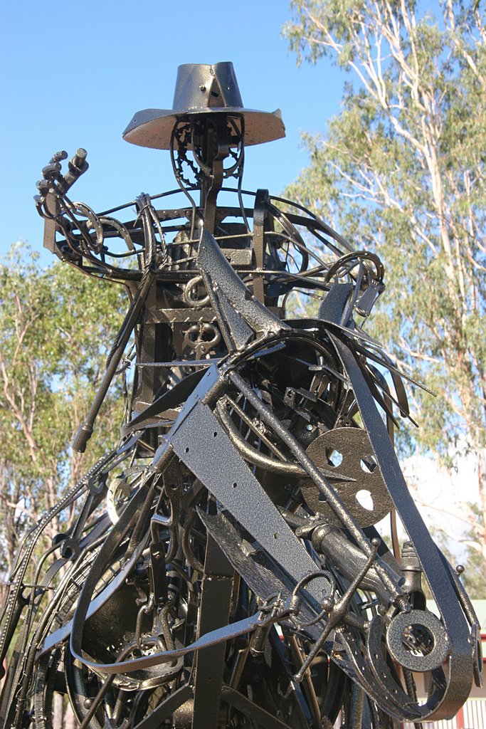
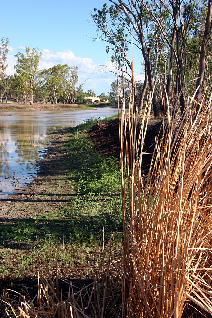
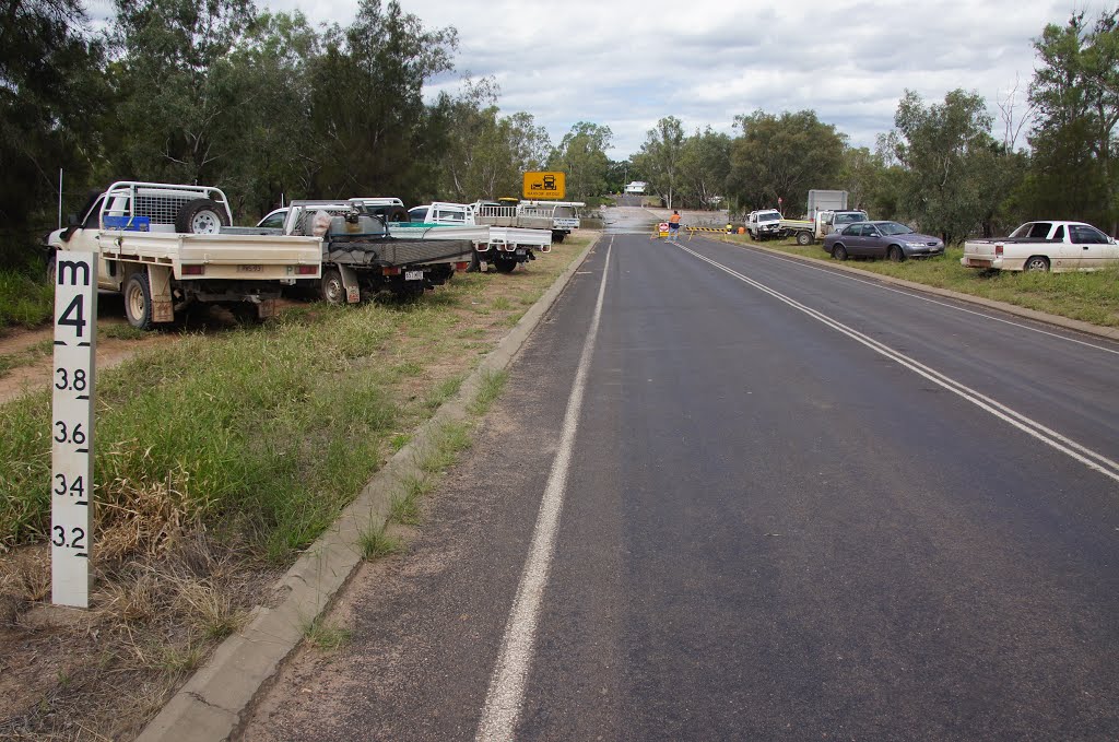
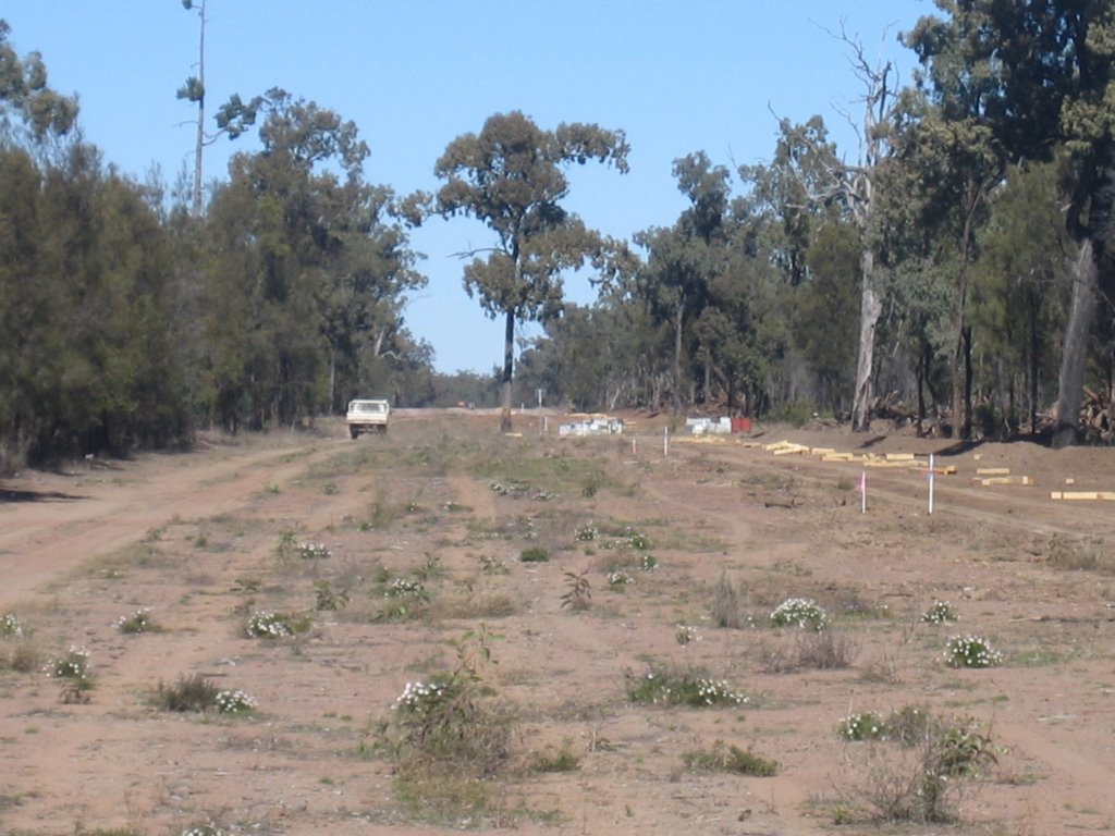
Photos of Toogoolawah
Toogoolawah Weather

Predicción: Clear sky
Temperatura: 28.4°
Humedad: 39%
Hora actual: 12:35 PM
Amanece: 06:09 AM
Anochece: 05:29 PM
Tara, Australia
Latitude: -27.2769 // Longitude: 150.46
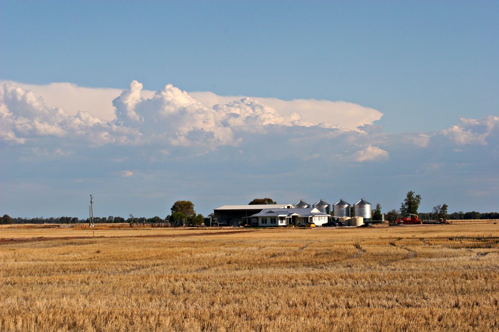
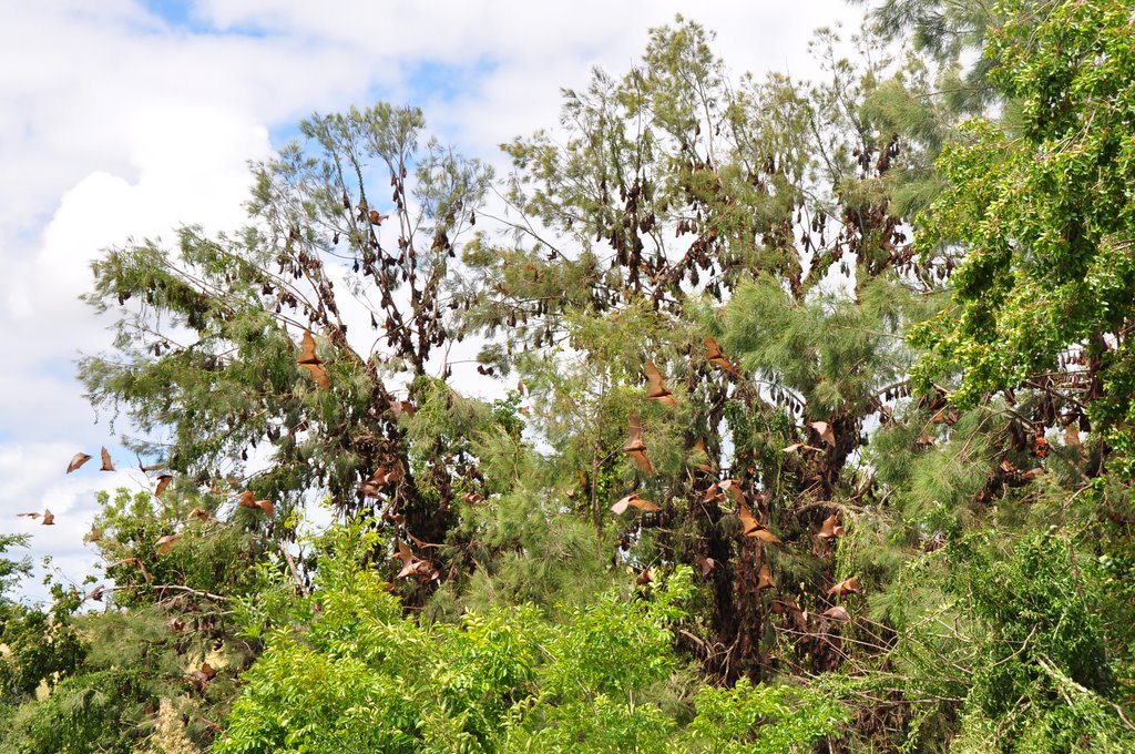
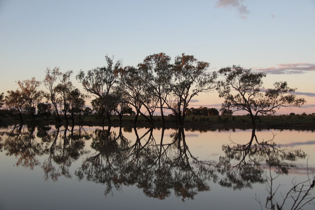
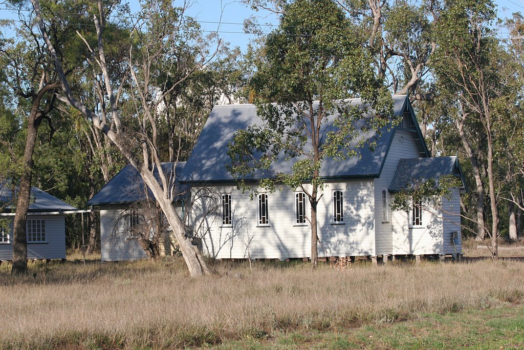
Photos of Tara
Tara Weather

Predicción: Clear sky
Temperatura: 24.2°
Humedad: 30%
Hora actual: 12:35 PM
Amanece: 06:17 AM
Anochece: 05:37 PM


