Distance between  Toogong and
  Mount Wilson
101.26 mi Straight Distance
126.36 mi Driving Distance
2 hours 22 mins Estimated Driving Time
The straight distance between Toogong (New South Wales) and Mount Wilson (New South Wales) is 101.26 mi, but the driving distance is 126.36 mi.
It takes to go from Toogong to Mount Wilson.
Driving directions from Toogong to Mount Wilson
Distance in kilometers
Straight distance: 162.93 km. Route distance: 203.31 km
Toogong, Australia
Latitude: -33.3333 // Longitude: 148.633
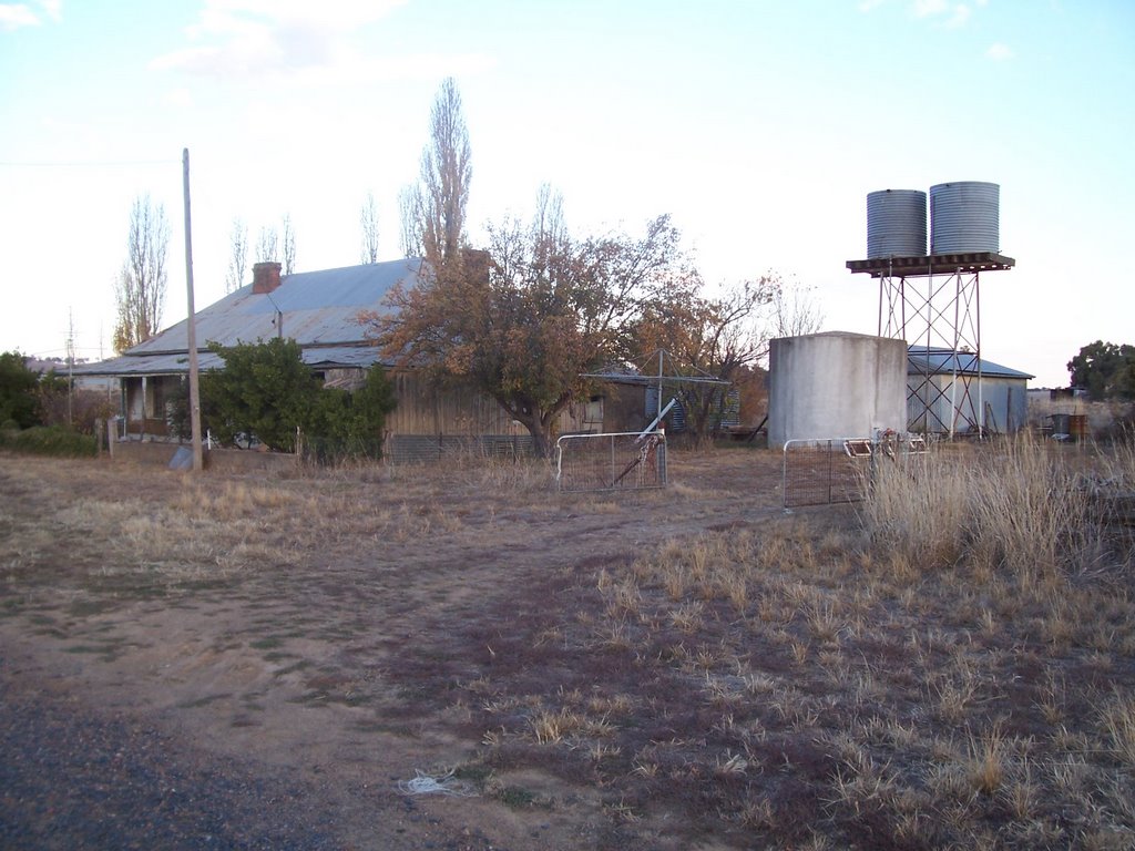
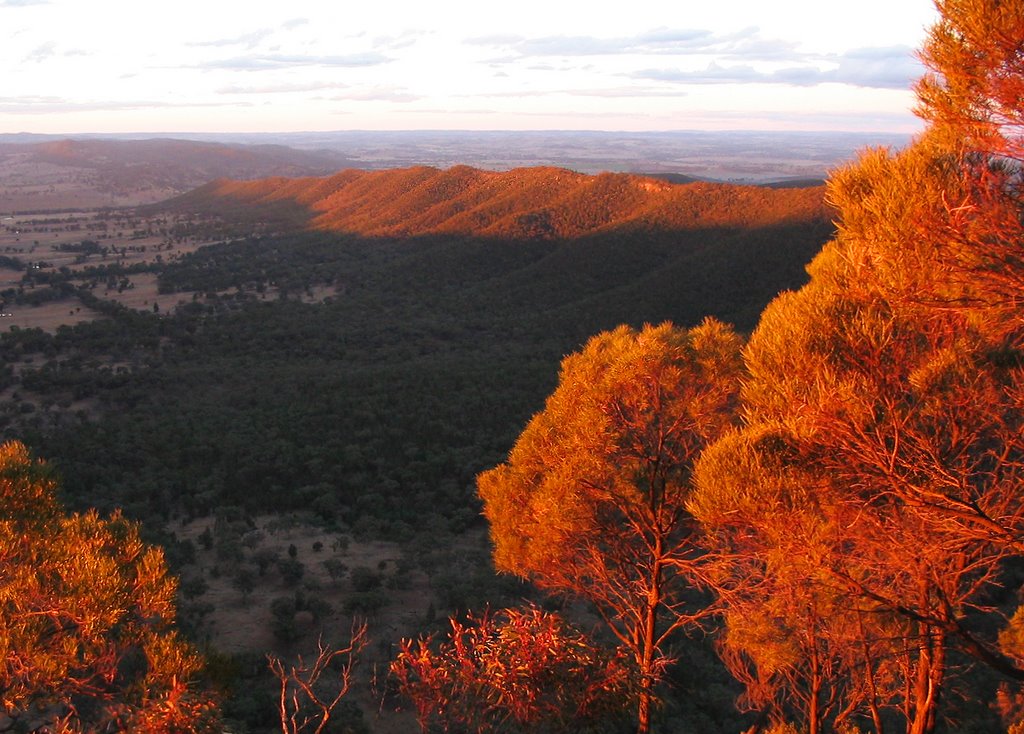
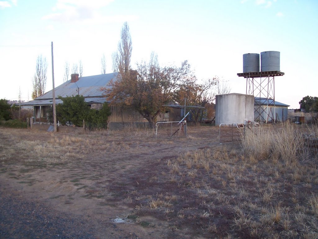
Photos of Toogong
Toogong Weather

Predicción: Broken clouds
Temperatura: 7.7°
Humedad: 78%
Hora actual: 06:37 AM
Amanece: 06:30 AM
Anochece: 05:38 PM
Mount Wilson, Australia
Latitude: -33.5036 // Longitude: 150.377
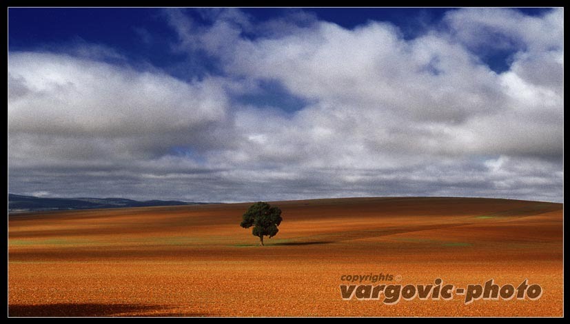
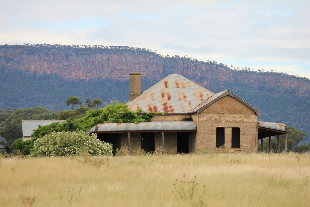
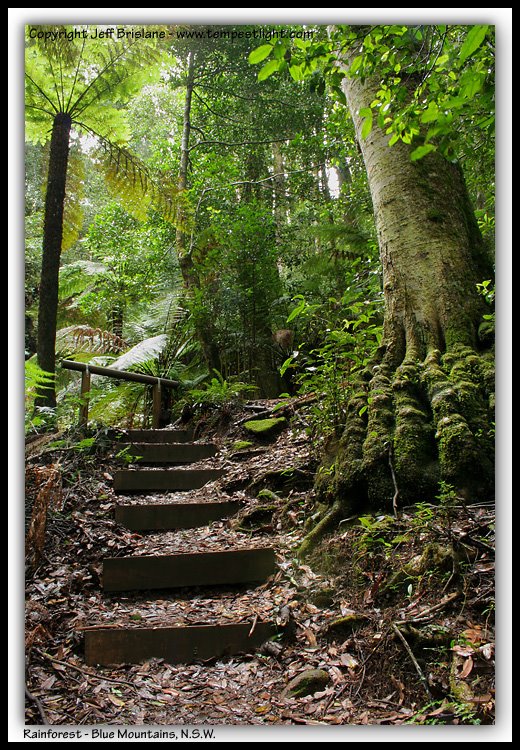
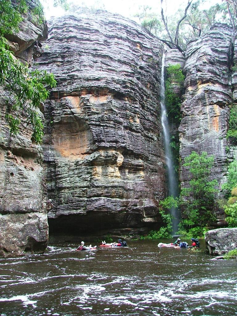
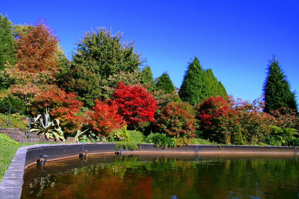
Photos of Mount Wilson
Mount Wilson Weather

Predicción: Broken clouds
Temperatura: 4.7°
Humedad: 76%
Hora actual: 10:00 AM
Amanece: 06:23 AM
Anochece: 05:31 PM


