Distance between  Toodyay and
  Port Gregory
267.64 mi Straight Distance
319.72 mi Driving Distance
5 hours 56 mins Estimated Driving Time
The straight distance between Toodyay (Western Australia) and Port Gregory (Western Australia) is 267.64 mi, but the driving distance is 319.72 mi.
It takes to go from Toodyay to Port Gregory.
Driving directions from Toodyay to Port Gregory
Distance in kilometers
Straight distance: 430.63 km. Route distance: 514.44 km
Toodyay, Australia
Latitude: -31.55 // Longitude: 116.468
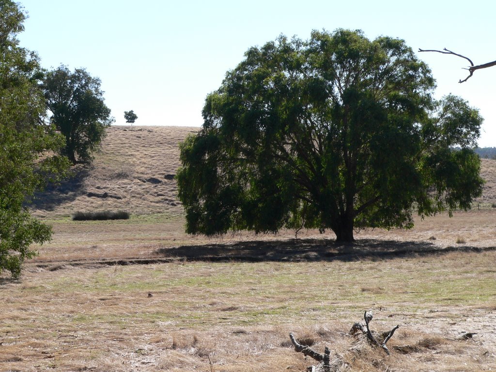
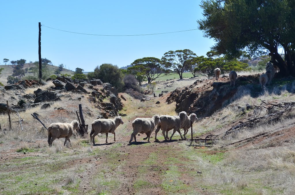
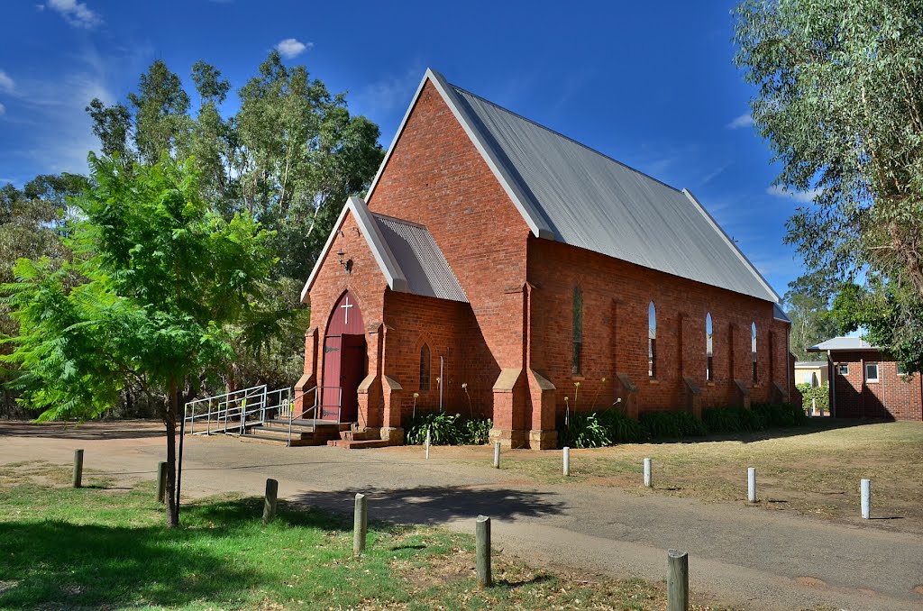
Photos of Toodyay
Toodyay Weather

Predicción: Clear sky
Temperatura: 29.3°
Humedad: 26%
Hora actual: 03:33 PM
Amanece: 06:35 AM
Anochece: 05:52 PM
Port Gregory, Australia
Latitude: -28.1859 // Longitude: 114.253
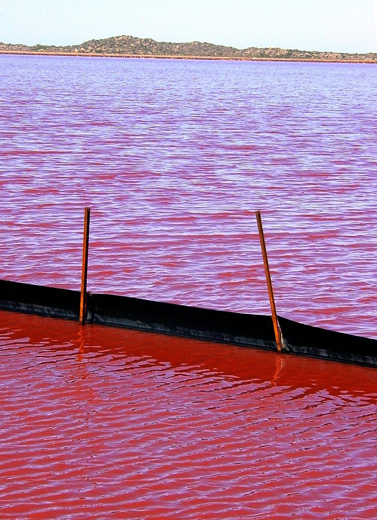
Photos of Port Gregory
Port Gregory Weather

Predicción: Clear sky
Temperatura: 26.8°
Humedad: 51%
Hora actual: 08:00 AM
Amanece: 06:41 AM
Anochece: 06:04 PM


