Distance between  Tooan and
  Darkbonee
173.52 mi Straight Distance
219.08 mi Driving Distance
3 hours 54 mins Estimated Driving Time
The straight distance between Tooan (Victoria) and Darkbonee (Victoria) is 173.52 mi, but the driving distance is 219.08 mi.
It takes to go from Tooan to Darkbonee.
Driving directions from Tooan to Darkbonee
Distance in kilometers
Straight distance: 279.19 km. Route distance: 352.51 km
Tooan, Australia
Latitude: -36.7819 // Longitude: 141.756
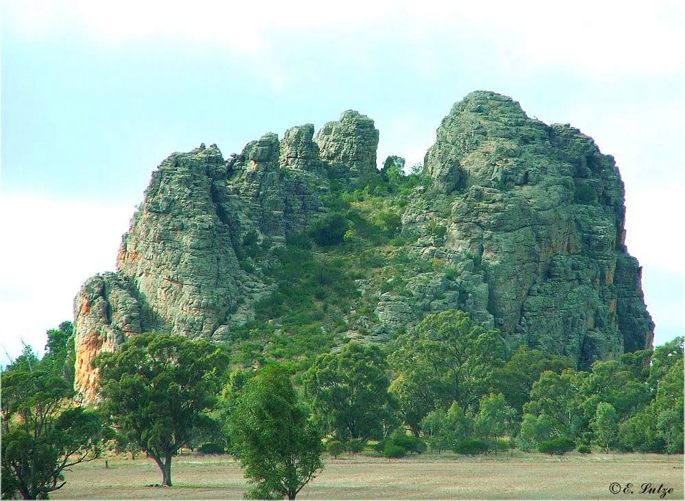
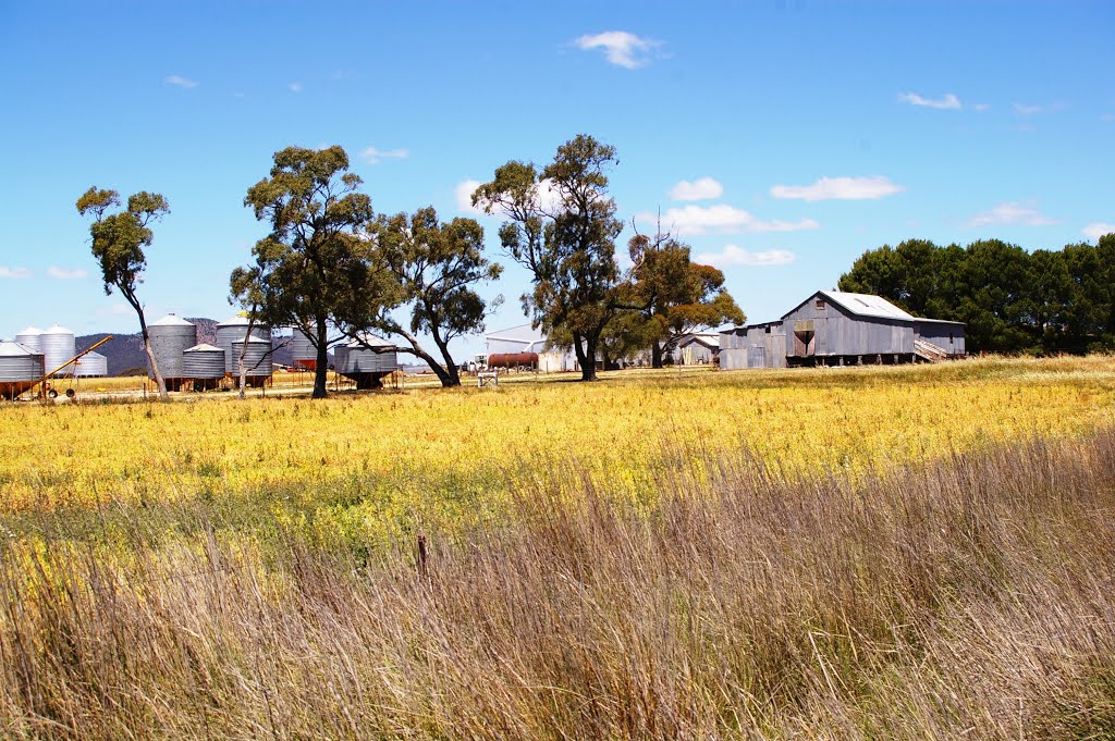
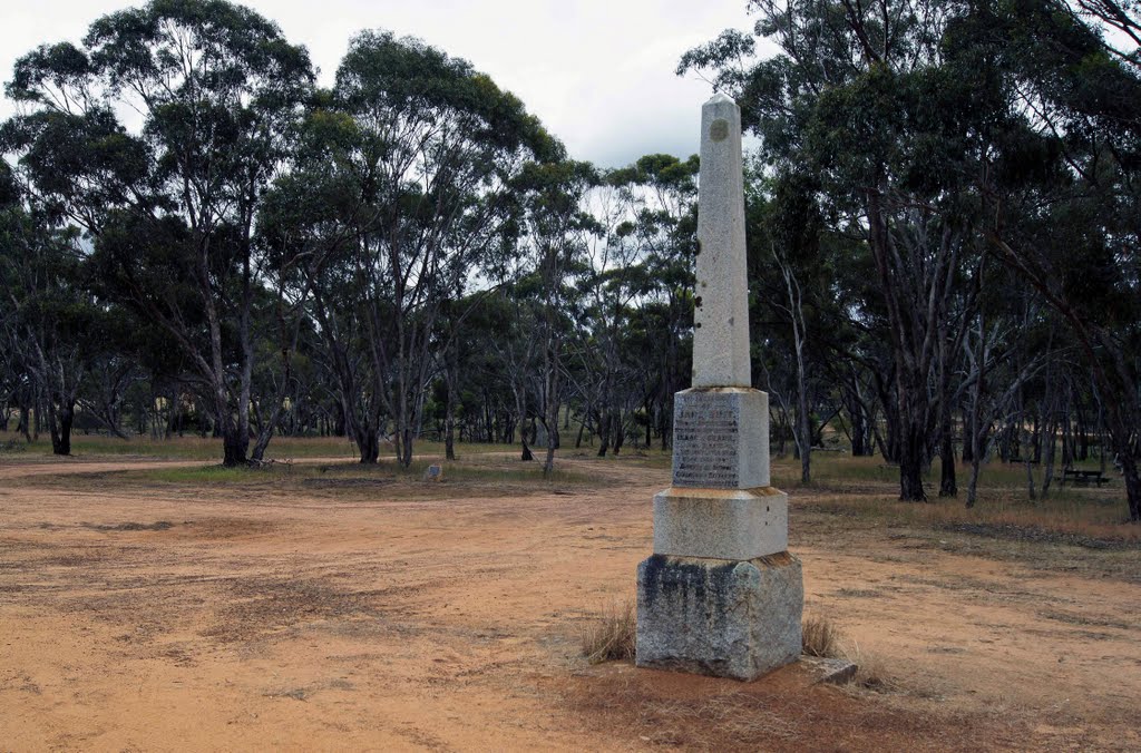
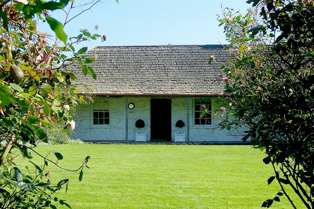
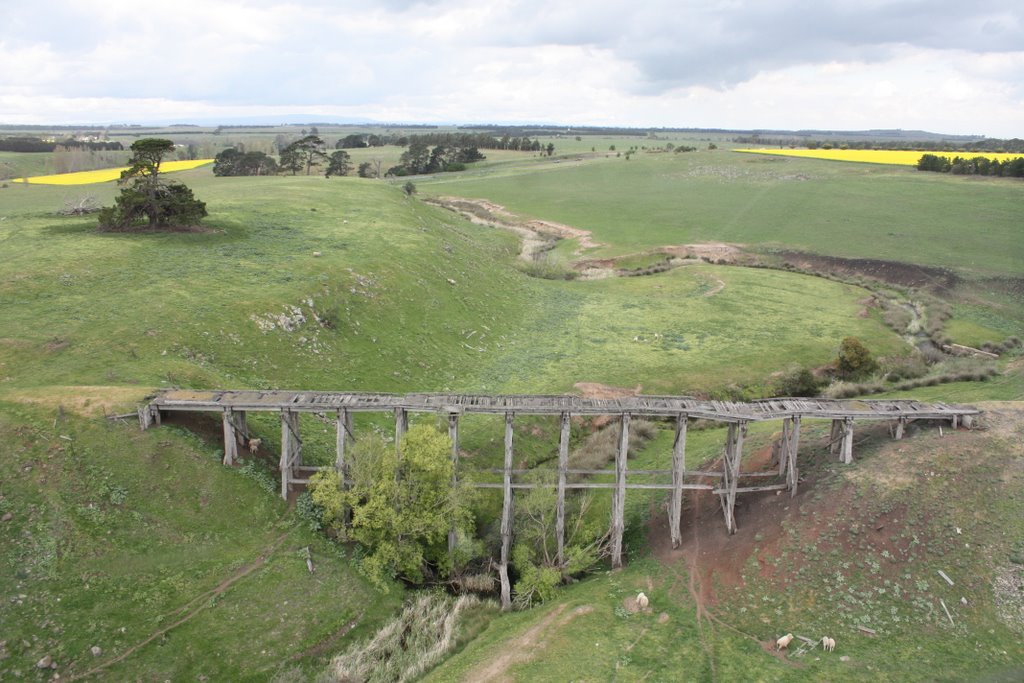
Photos of Tooan
Tooan Weather

Predicción: Overcast clouds
Temperatura: 13.6°
Humedad: 78%
Hora actual: 12:00 AM
Amanece: 09:01 PM
Anochece: 08:02 AM
Darkbonee, Australia
Latitude: -37.4713 // Longitude: 144.785
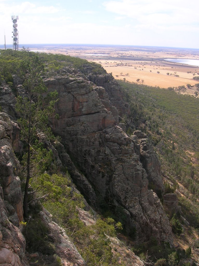
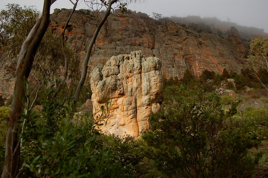
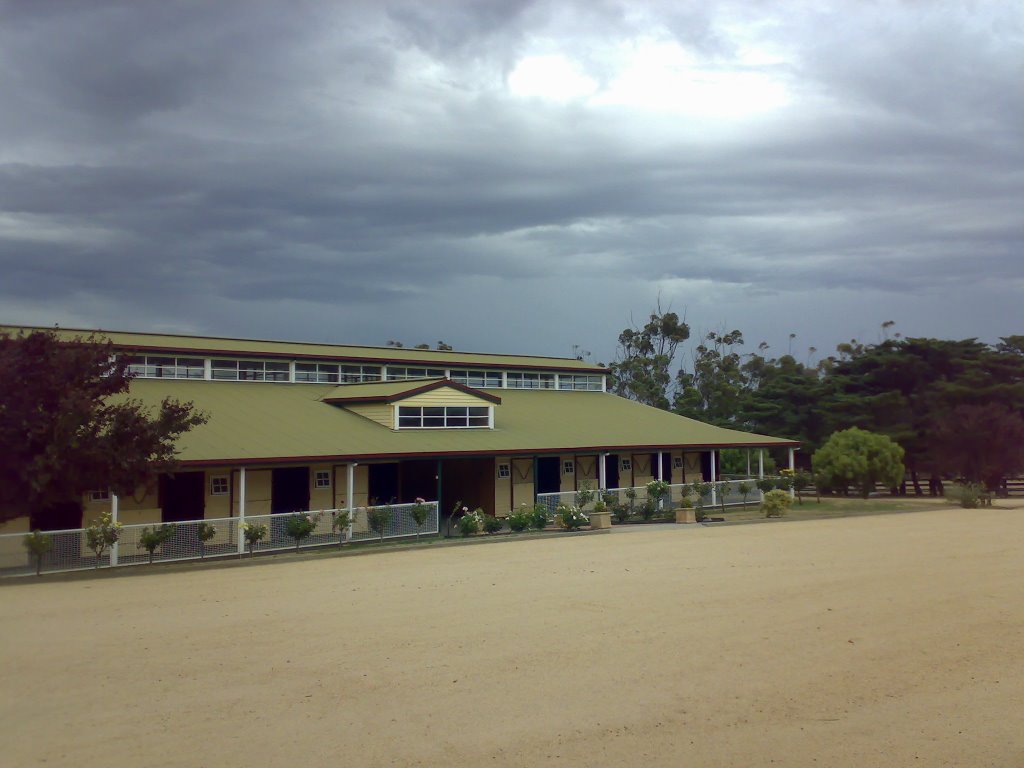
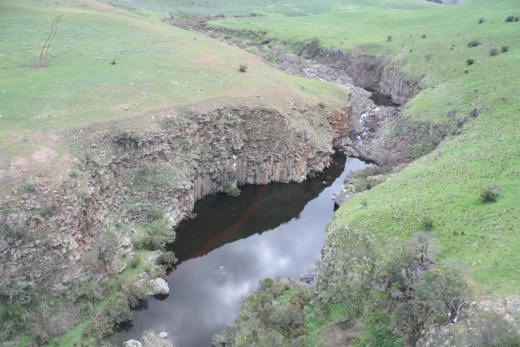
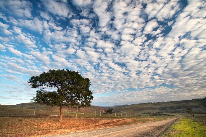
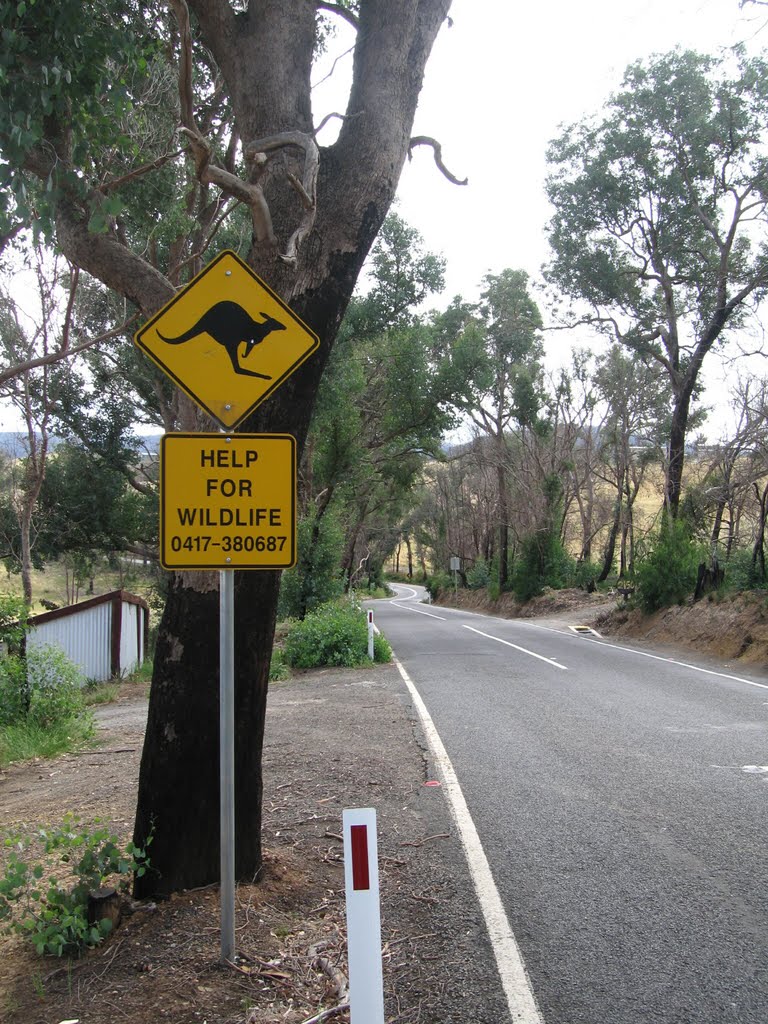
Photos of Darkbonee
Darkbonee Weather

Predicción: Overcast clouds
Temperatura: 12.2°
Humedad: 85%
Hora actual: 12:00 AM
Amanece: 08:50 PM
Anochece: 07:49 AM


