Distance between  Tittybong and
  Noradjuha
108.92 mi Straight Distance
132.21 mi Driving Distance
2 hours 20 mins Estimated Driving Time
The straight distance between Tittybong (Victoria) and Noradjuha (Victoria) is 108.92 mi, but the driving distance is 132.21 mi.
It takes 2 hours 34 mins to go from Tittybong to Noradjuha.
Driving directions from Tittybong to Noradjuha
Distance in kilometers
Straight distance: 175.25 km. Route distance: 212.73 km
Tittybong, Australia
Latitude: -35.7462 // Longitude: 143.375
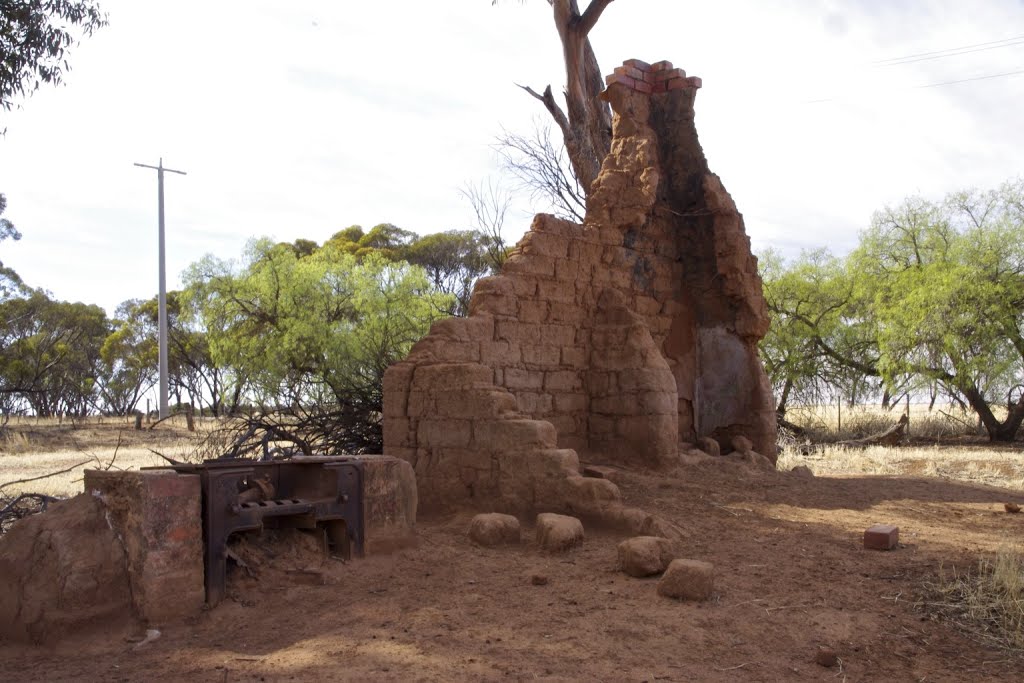
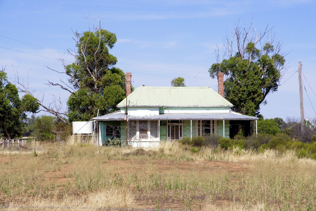
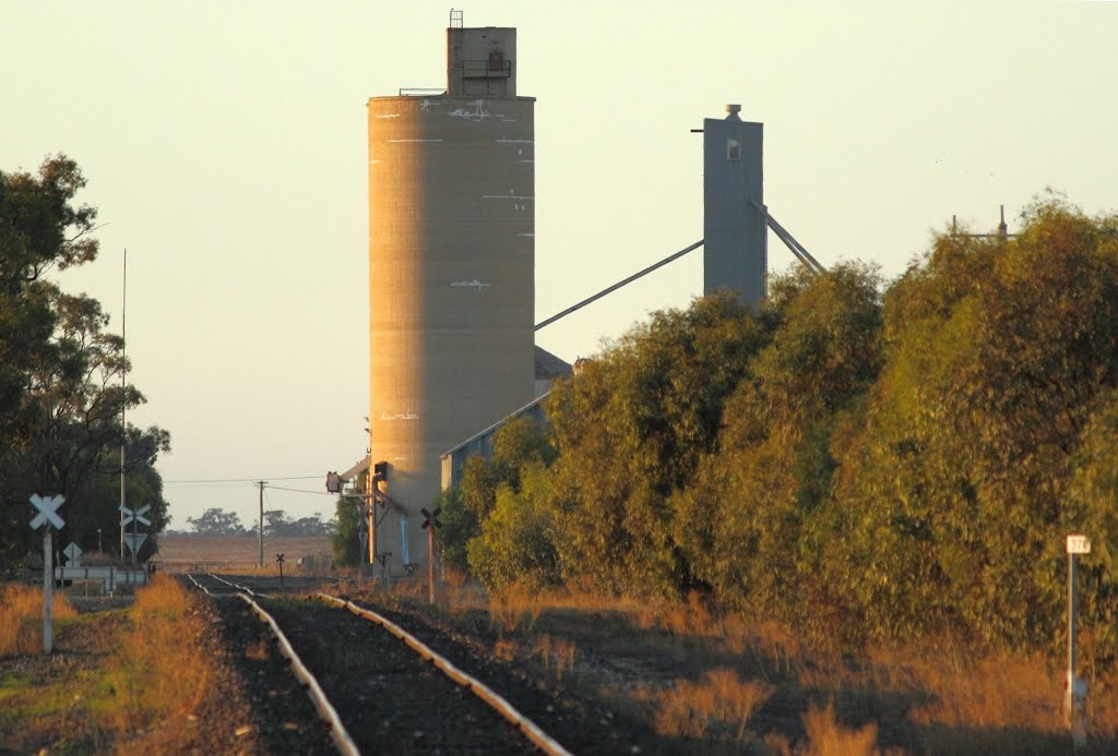
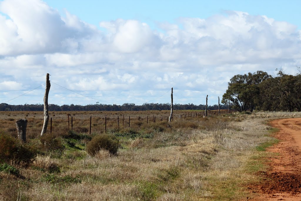
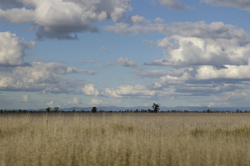
Photos of Tittybong
Tittybong Weather

Predicción: Few clouds
Temperatura: 11.0°
Humedad: 78%
Hora actual: 12:00 AM
Amanece: 08:53 PM
Anochece: 07:57 AM
Noradjuha, Australia
Latitude: -36.8379 // Longitude: 141.964
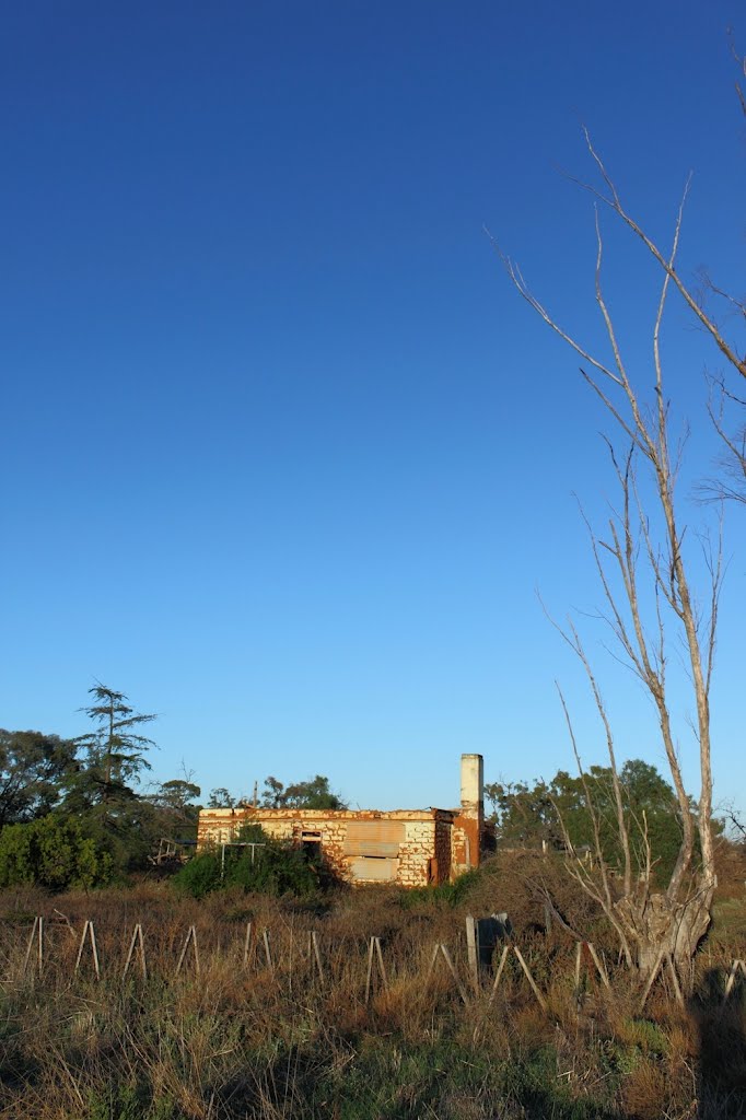
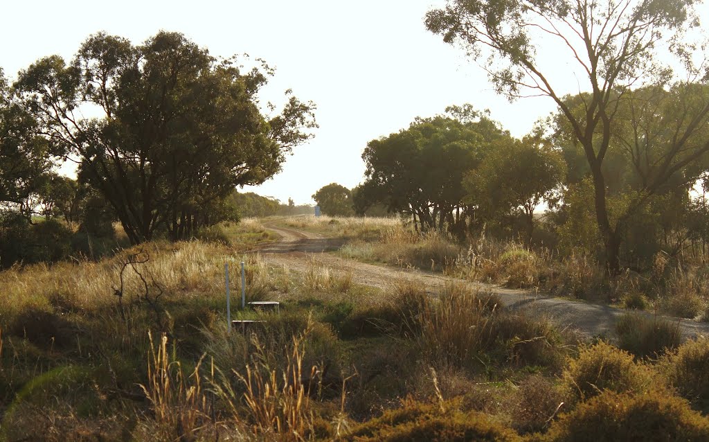
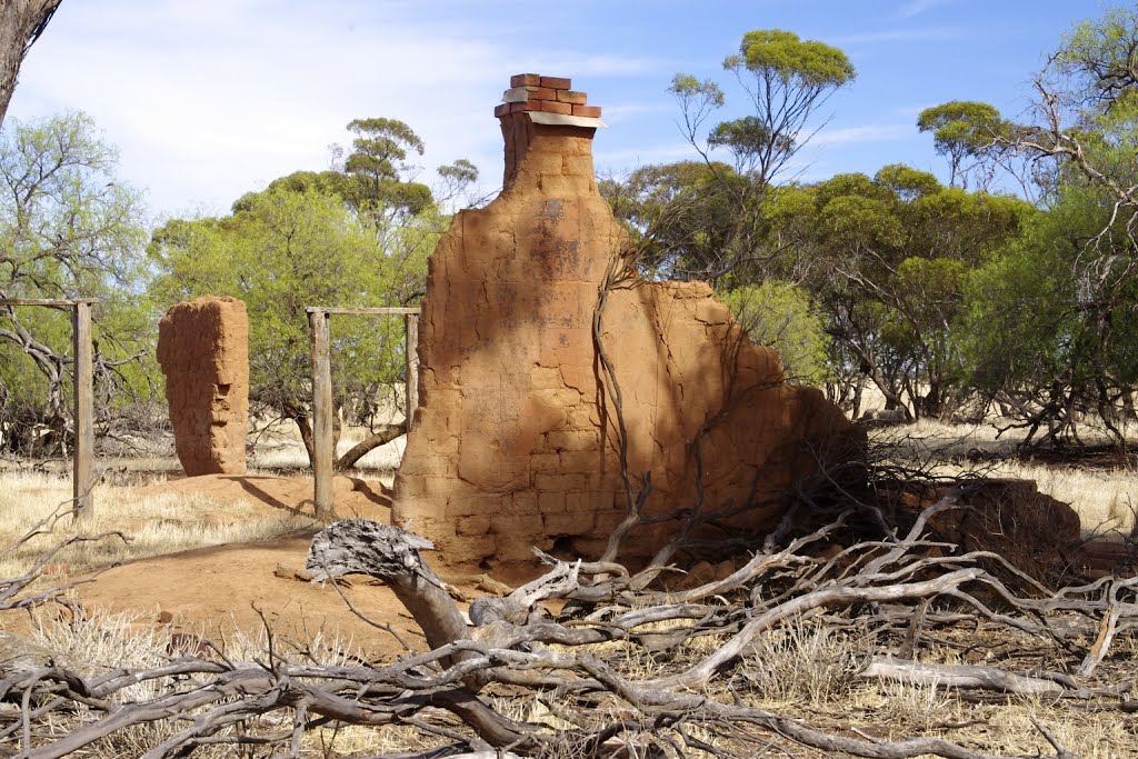
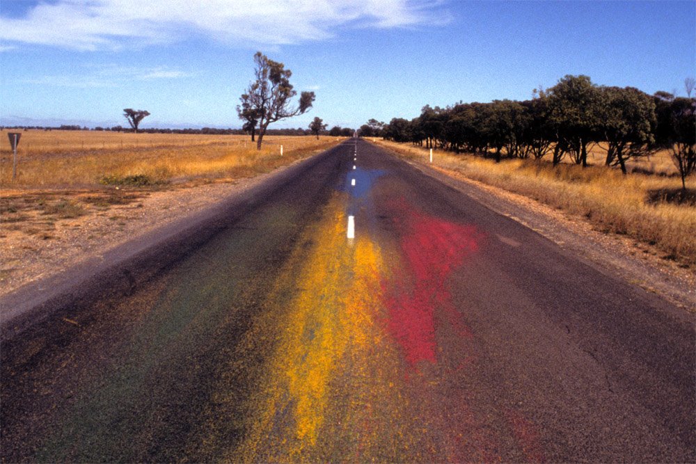
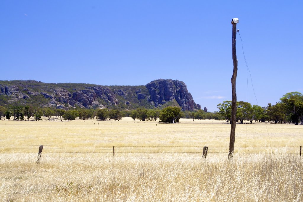
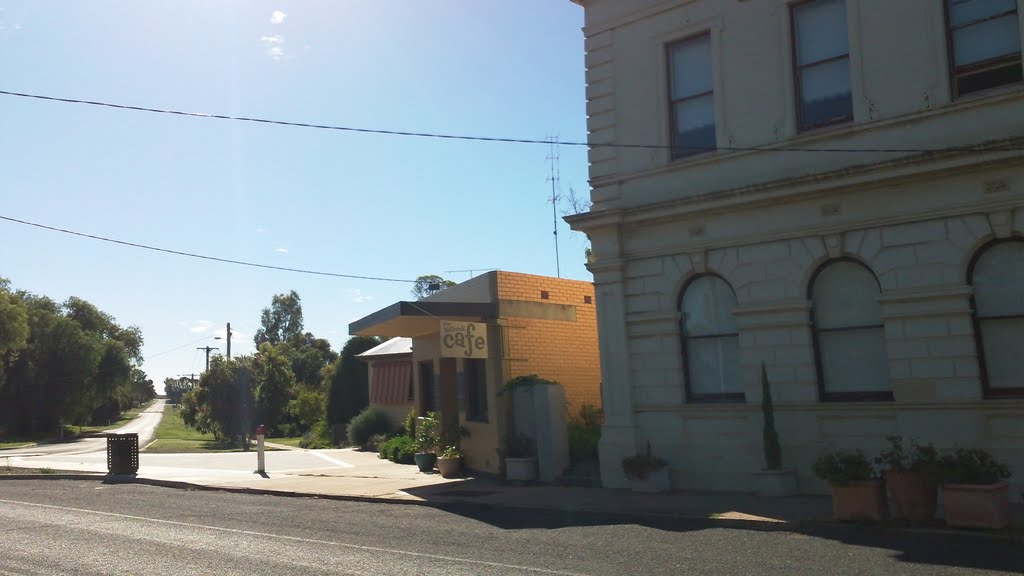
Photos of Noradjuha
Noradjuha Weather

Predicción: Overcast clouds
Temperatura: 11.5°
Humedad: 80%
Hora actual: 12:00 AM
Amanece: 09:00 PM
Anochece: 08:01 AM


