Distance between  Tintaldra and
  Tinamba
143.96 mi Straight Distance
257.78 mi Driving Distance
4 hours 43 mins Estimated Driving Time
The straight distance between Tintaldra (Victoria) and Tinamba (Victoria) is 143.96 mi, but the driving distance is 257.78 mi.
It takes 5 hours 16 mins to go from Tintaldra to Tinamba.
Driving directions from Tintaldra to Tinamba
Distance in kilometers
Straight distance: 231.63 km. Route distance: 414.77 km
Tintaldra, Australia
Latitude: -36.0503 // Longitude: 147.929
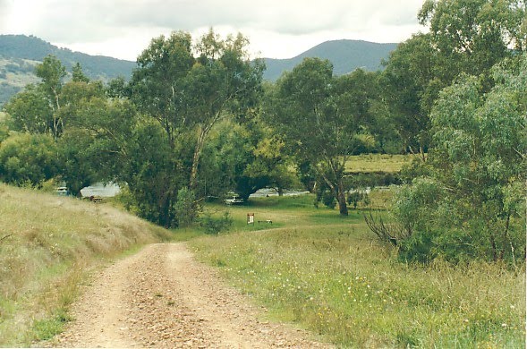
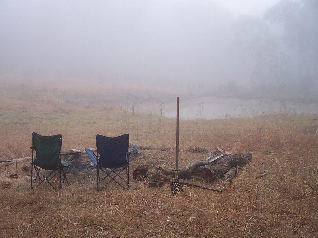
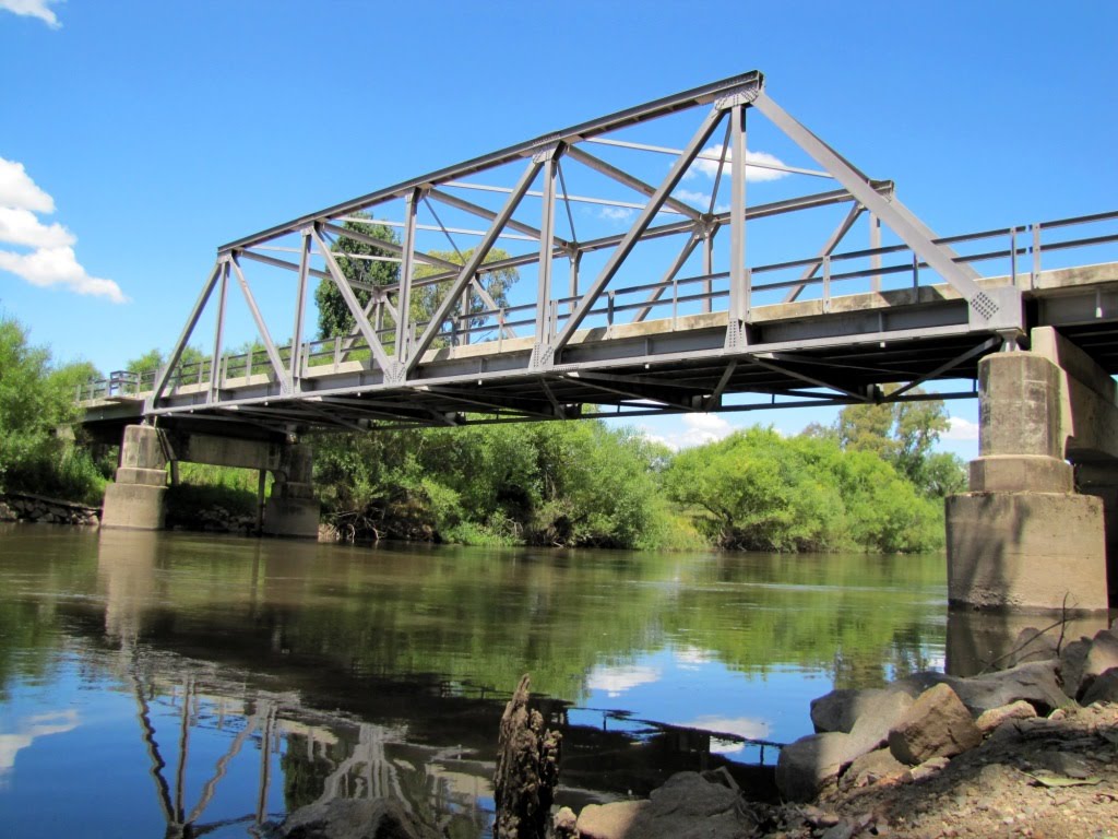
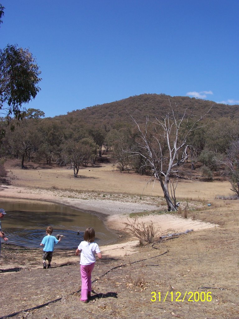
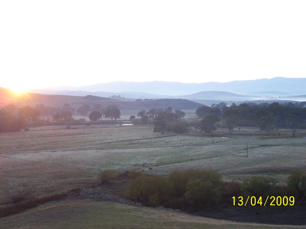
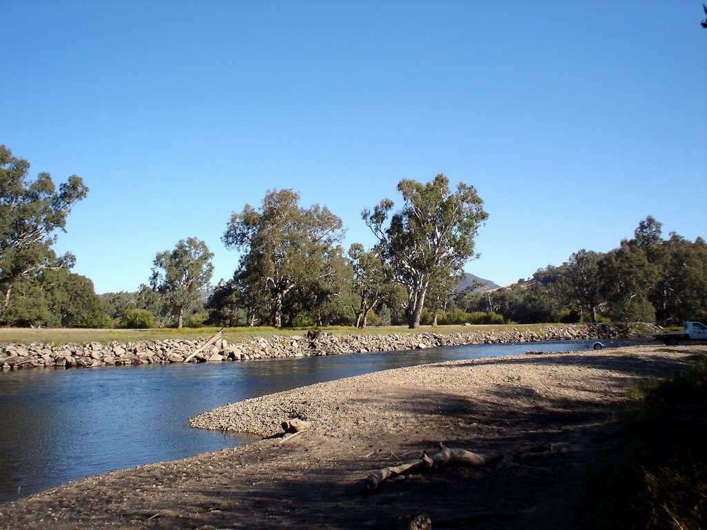
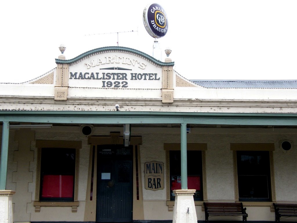
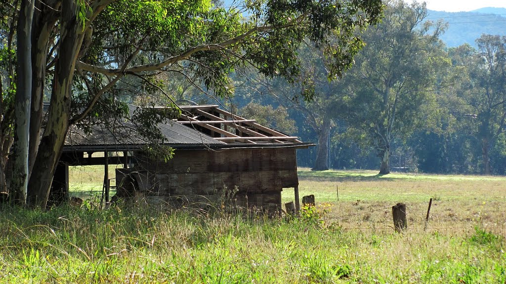
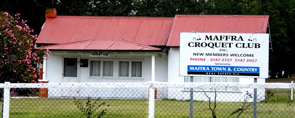
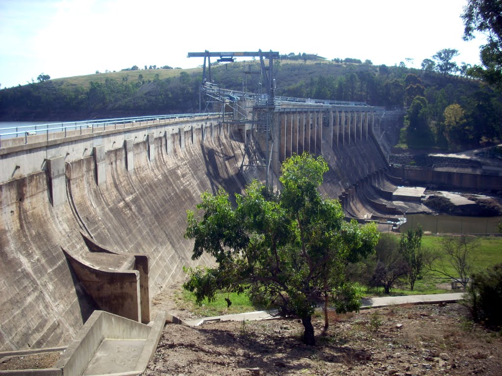
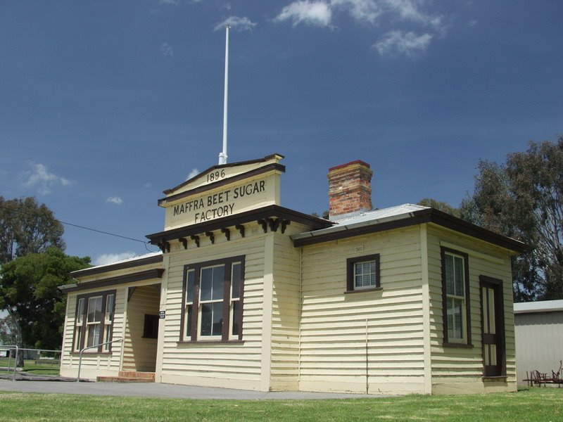
Photos of Tintaldra
Tintaldra Weather

Predicción: Scattered clouds
Temperatura: 15.8°
Humedad: 50%
Hora actual: 12:00 AM
Amanece: 08:36 PM
Anochece: 07:37 AM
Tinamba, Australia
Latitude: -37.9623 // Longitude: 146.892
Photos of Tinamba
Tinamba Weather

Predicción: Broken clouds
Temperatura: 15.7°
Humedad: 66%
Hora actual: 12:00 AM
Amanece: 08:43 PM
Anochece: 07:39 AM


