Distance between  Tinonee and
  Skinners Shoot
236.75 mi Straight Distance
305.99 mi Driving Distance
5 hours 56 mins Estimated Driving Time
The straight distance between Tinonee (New South Wales) and Skinners Shoot (New South Wales) is 236.75 mi, but the driving distance is 305.99 mi.
It takes to go from Tinonee to Skinners Shoot.
Driving directions from Tinonee to Skinners Shoot
Distance in kilometers
Straight distance: 380.92 km. Route distance: 492.34 km
Tinonee, Australia
Latitude: -31.9376 // Longitude: 152.413
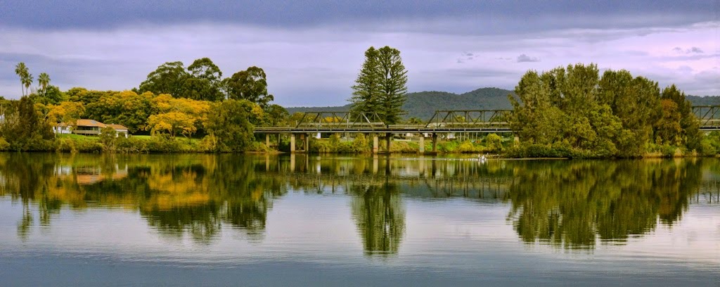
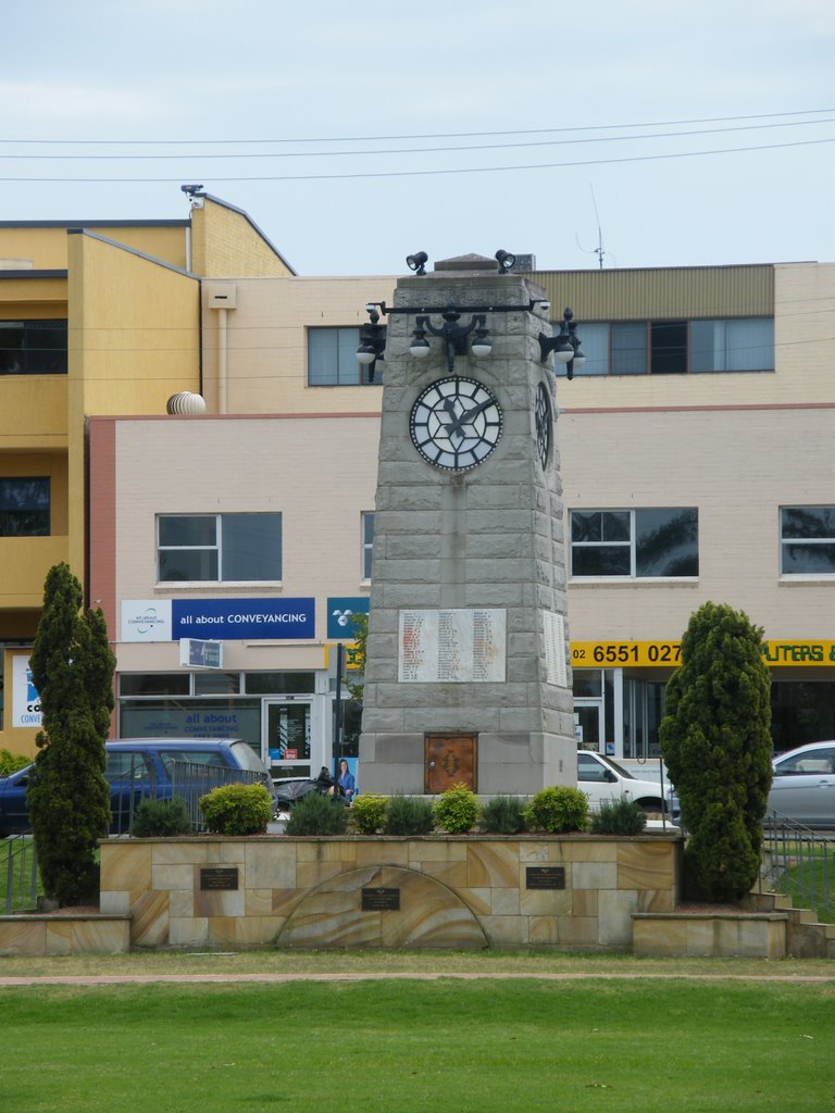
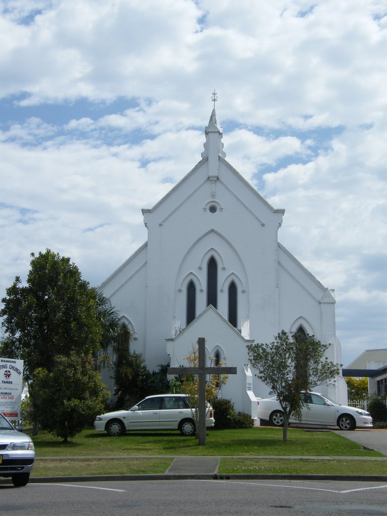
Photos of Tinonee
Tinonee Weather

Predicción: Clear sky
Temperatura: 22.3°
Humedad: 81%
Hora actual: 04:42 PM
Amanece: 06:11 AM
Anochece: 05:28 PM
Skinners Shoot, Australia
Latitude: -28.6644 // Longitude: 153.587
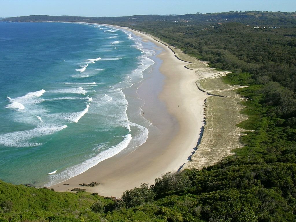
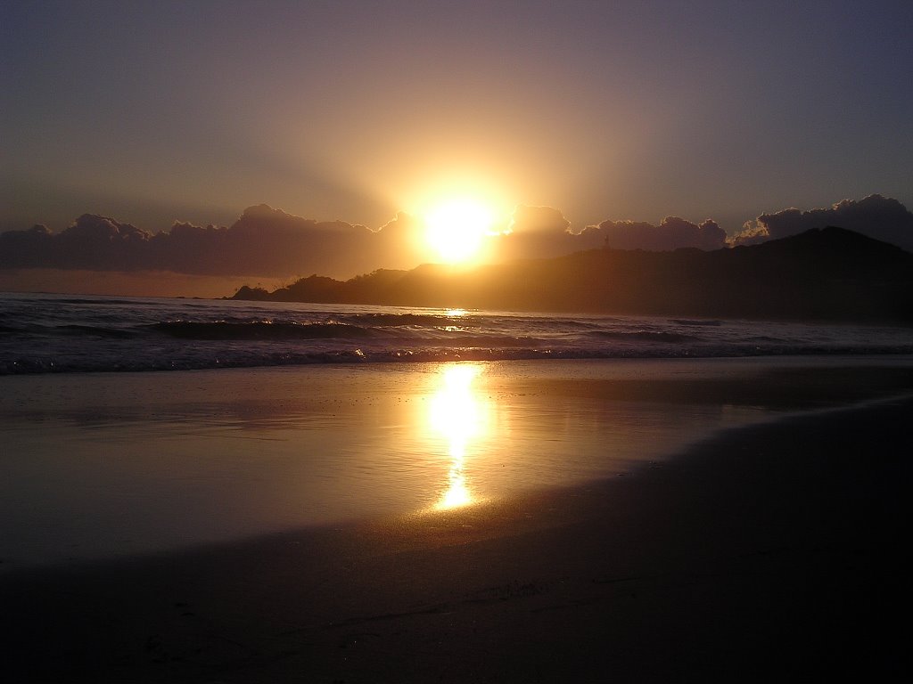
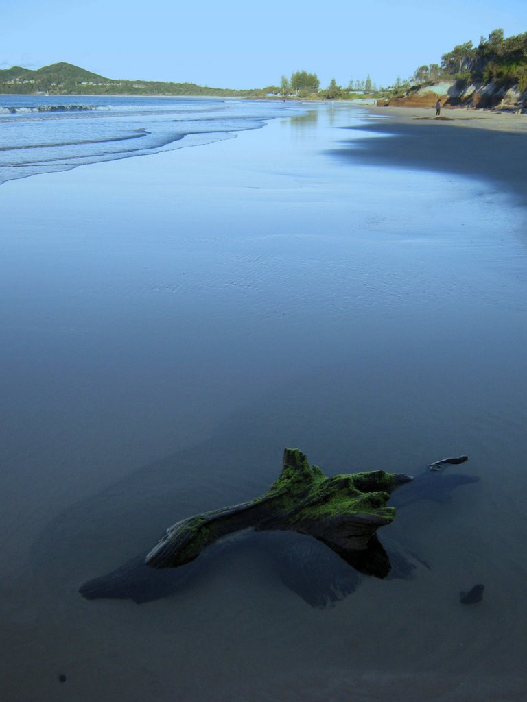
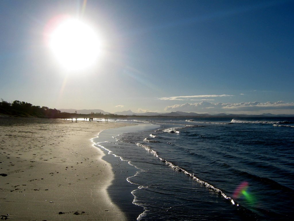
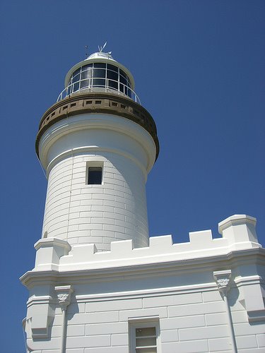
Photos of Skinners Shoot
Skinners Shoot Weather

Predicción: Clear sky
Temperatura: 22.2°
Humedad: 70%
Hora actual: 04:42 PM
Amanece: 06:04 AM
Anochece: 05:26 PM


