Distance between  Thallon and
  Maxwelton
670.41 mi Straight Distance
841.02 mi Driving Distance
14 hours 0 mins Estimated Driving Time
The straight distance between Thallon (Queensland) and Maxwelton (Queensland) is 670.41 mi, but the driving distance is 841.02 mi.
It takes to go from Thallon to Maxwelton.
Driving directions from Thallon to Maxwelton
Distance in kilometers
Straight distance: 1,078.70 km. Route distance: 1,353.20 km
Thallon, Australia
Latitude: -28.6364 // Longitude: 148.87
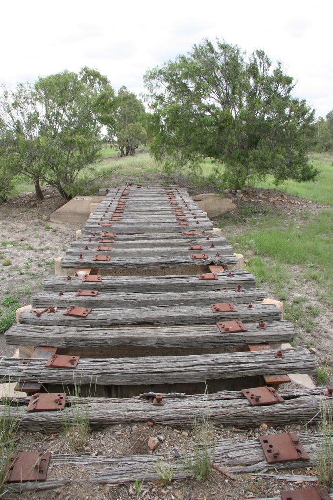
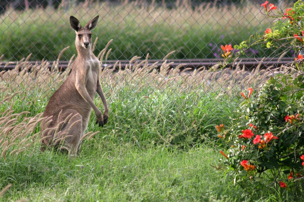
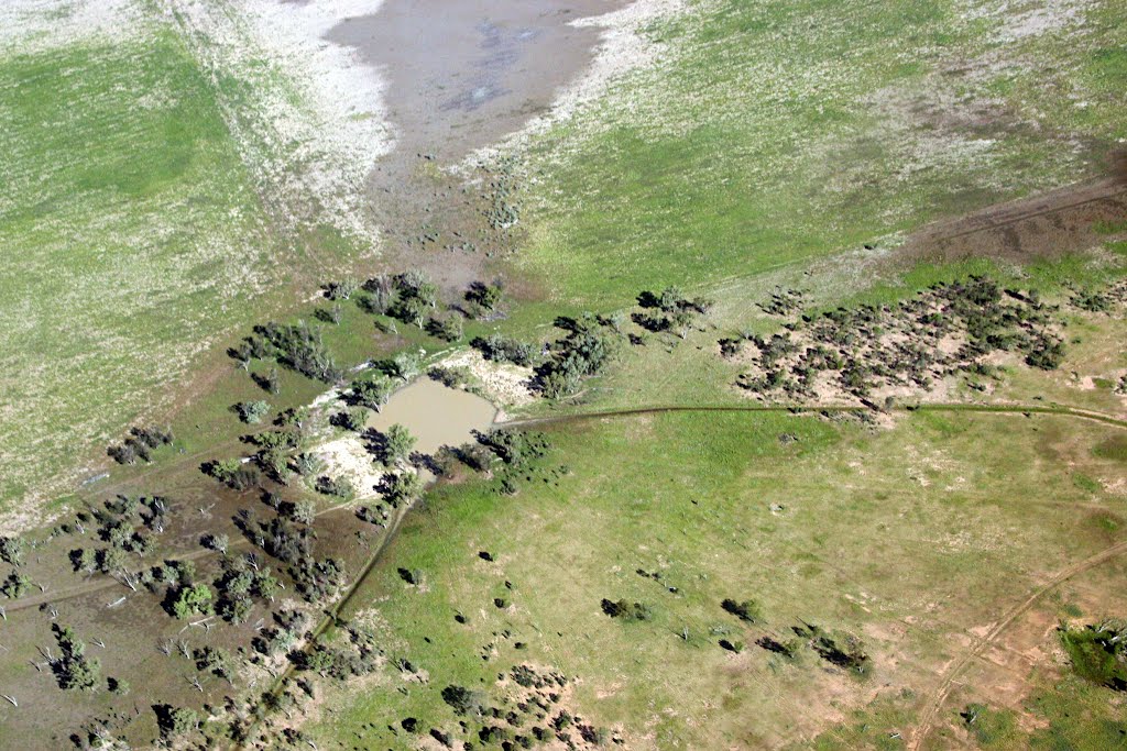
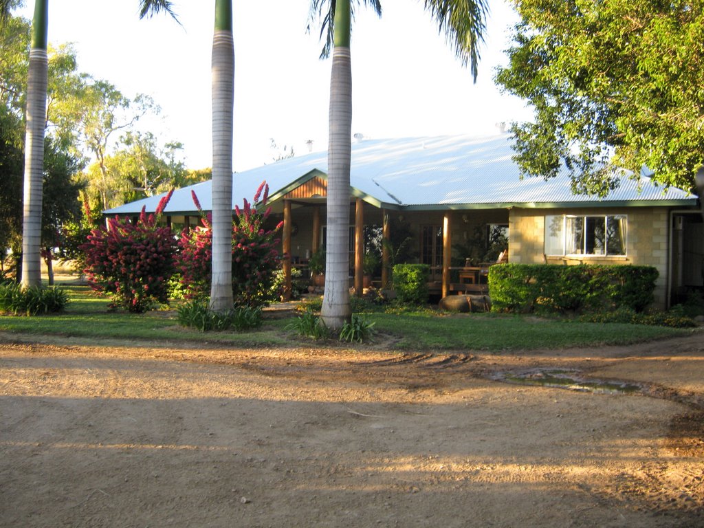
Photos of Thallon
Thallon Weather

Predicción: Clear sky
Temperatura: 18.3°
Humedad: 55%
Hora actual: 12:00 AM
Amanece: 08:24 PM
Anochece: 07:43 AM
Maxwelton, Australia
Latitude: -20.7237 // Longitude: 142.681
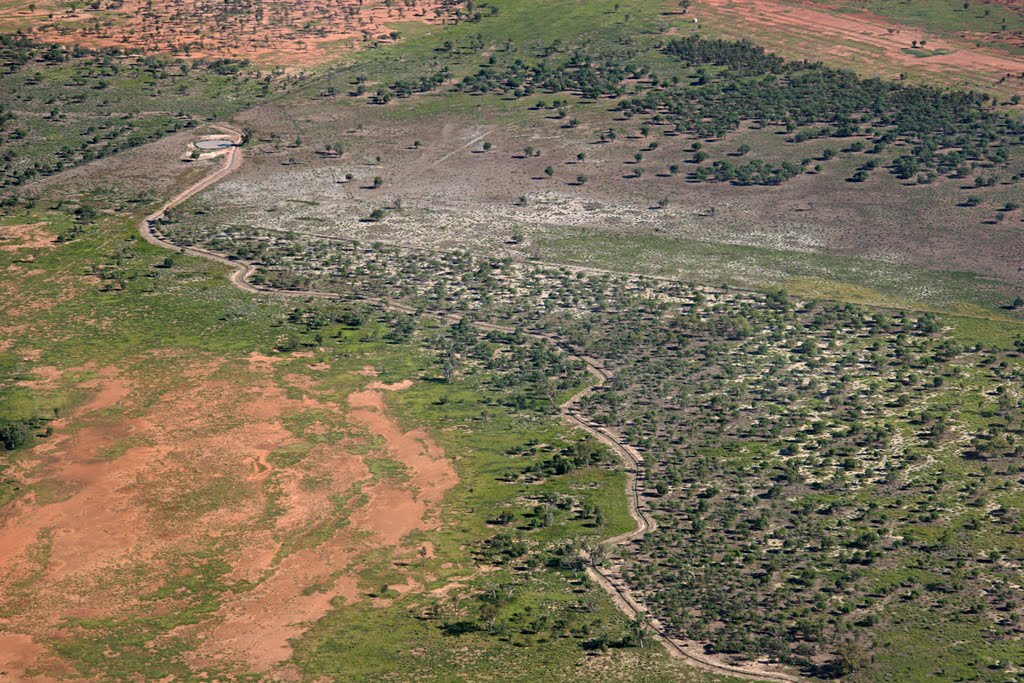
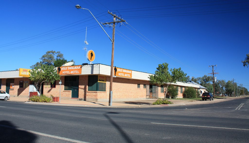
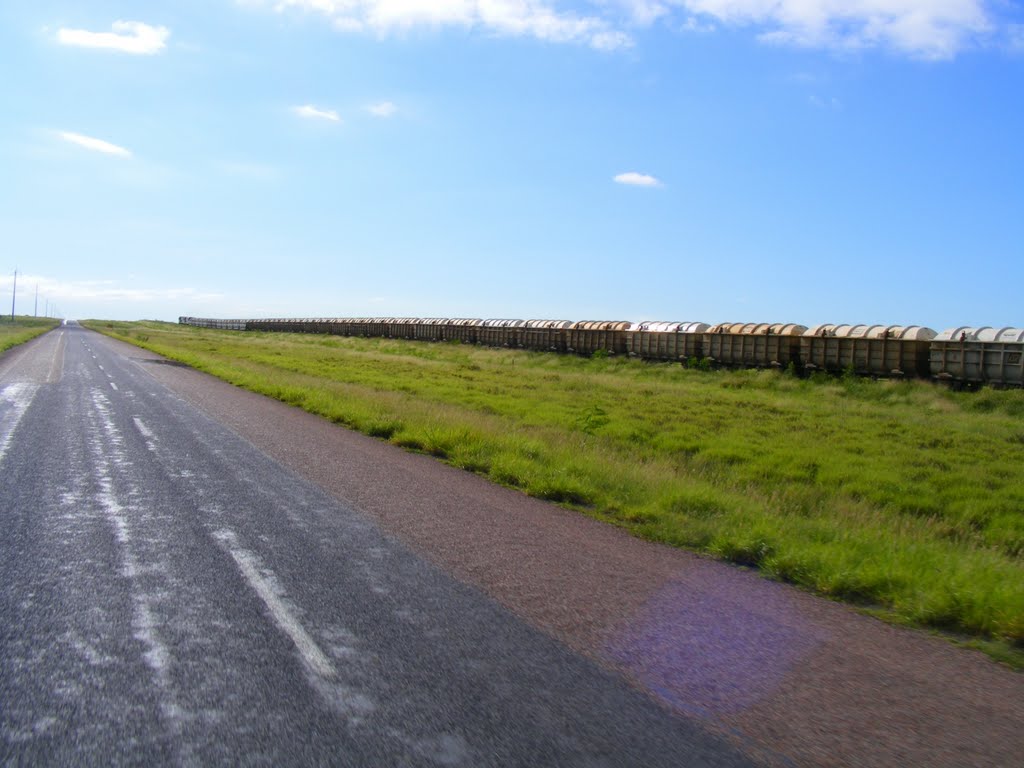
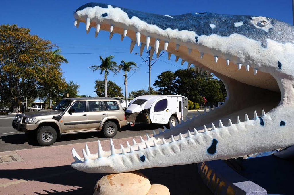
Photos of Maxwelton
Maxwelton Weather

Predicción: Broken clouds
Temperatura: 29.1°
Humedad: 42%
Hora actual: 12:00 AM
Amanece: 08:41 PM
Anochece: 08:15 AM


