Distance between  Terang and
  Trentham East
99 mi Straight Distance
137.54 mi Driving Distance
2 hours 37 mins Estimated Driving Time
The straight distance between Terang (Victoria) and Trentham East (Victoria) is 99 mi, but the driving distance is 137.54 mi.
It takes 2 hours 53 mins to go from Terang to Trentham East.
Driving directions from Terang to Trentham East
Distance in kilometers
Straight distance: 159.29 km. Route distance: 221.31 km
Terang, Australia
Latitude: -38.2407 // Longitude: 142.919
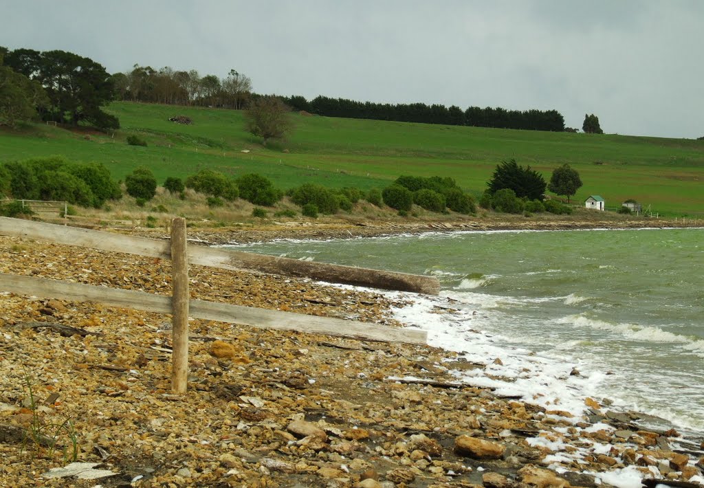
Photos of Terang
Terang Weather

Predicción: Overcast clouds
Temperatura: 9.3°
Humedad: 90%
Hora actual: 03:21 AM
Amanece: 06:57 AM
Anochece: 05:58 PM
Trentham East, Australia
Latitude: -37.3937 // Longitude: 144.382
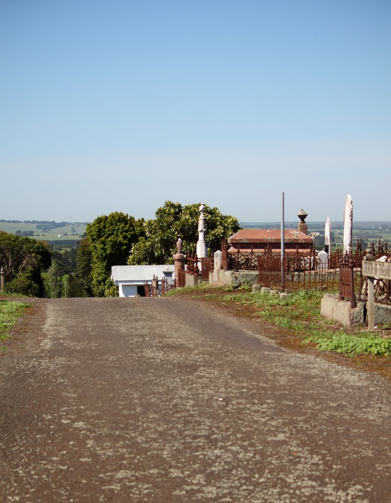
Photos of Trentham East
Trentham East Weather

Predicción: Overcast clouds
Temperatura: 8.2°
Humedad: 93%
Hora actual: 03:21 AM
Amanece: 06:50 AM
Anochece: 05:53 PM


