Distance between  Tatura East and
  Moorngag
46.66 mi Straight Distance
65.33 mi Driving Distance
1 hour 28 mins Estimated Driving Time
The straight distance between Tatura East (Victoria) and Moorngag (Victoria) is 46.66 mi, but the driving distance is 65.33 mi.
It takes 1 hour 14 mins to go from Tatura East to Moorngag.
Driving directions from Tatura East to Moorngag
Distance in kilometers
Straight distance: 75.08 km. Route distance: 105.11 km
Tatura East, Australia
Latitude: -36.442 // Longitude: 145.295
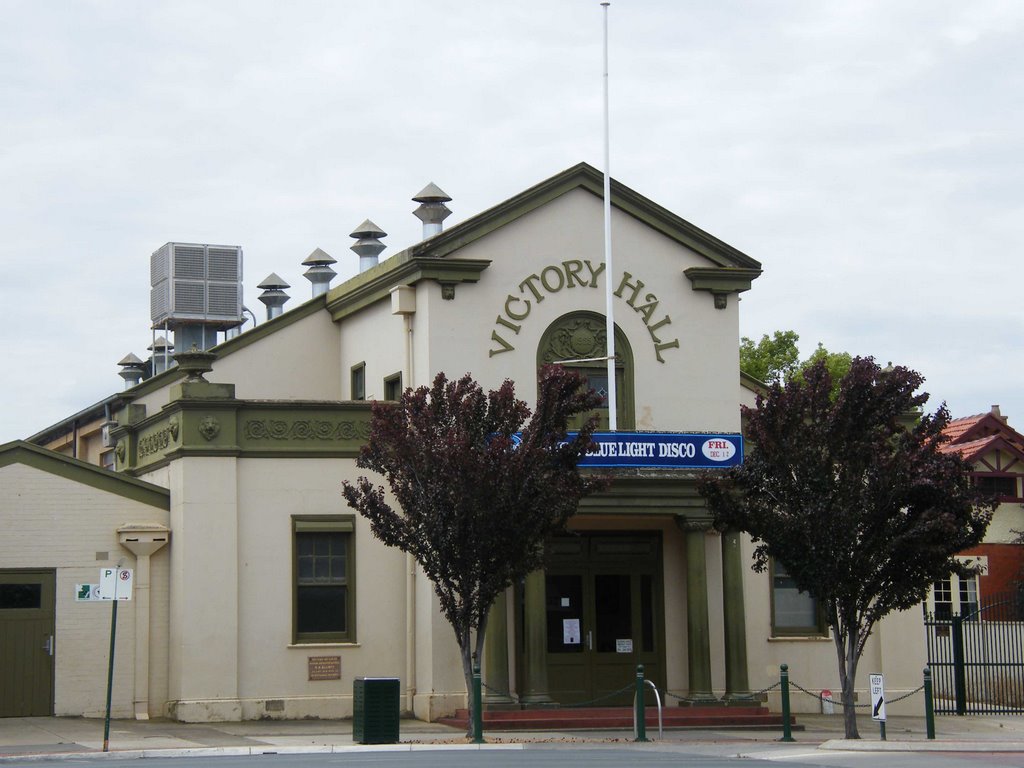
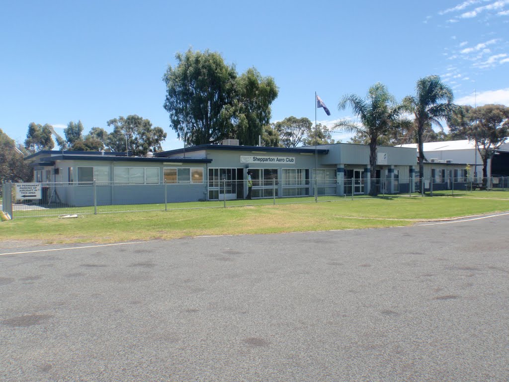
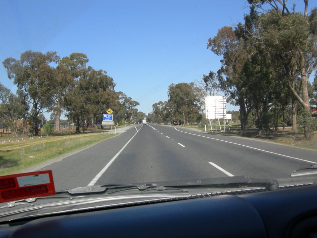
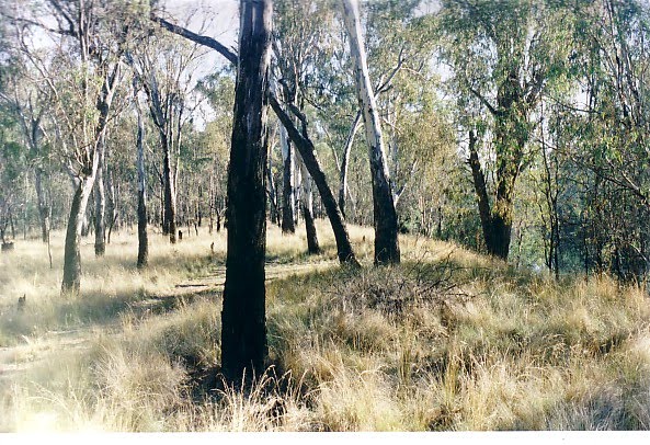
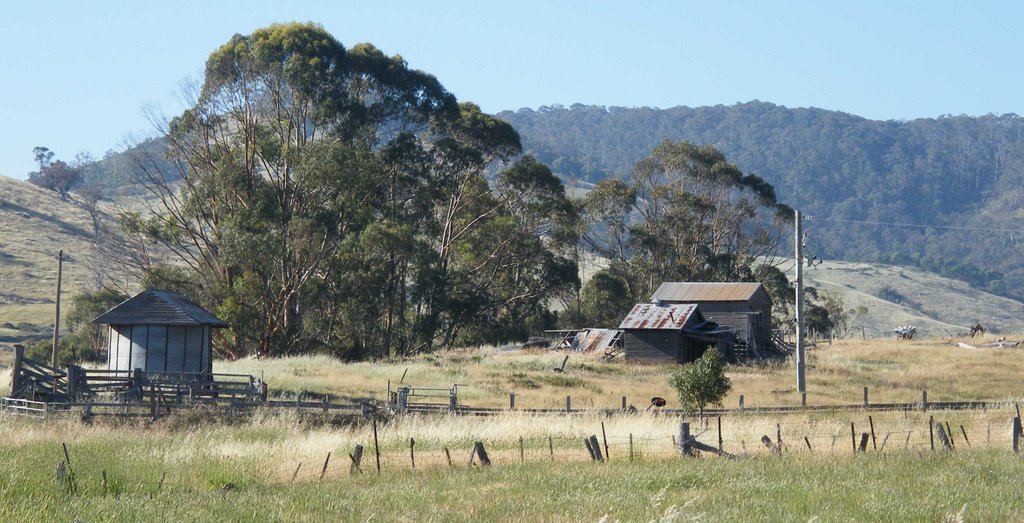
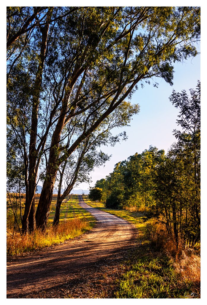
Photos of Tatura East
Tatura East Weather

Predicción: Scattered clouds
Temperatura: 19.6°
Humedad: 35%
Hora actual: 03:49 PM
Amanece: 06:46 AM
Anochece: 05:49 PM
Moorngag, Australia
Latitude: -36.7364 // Longitude: 146.052
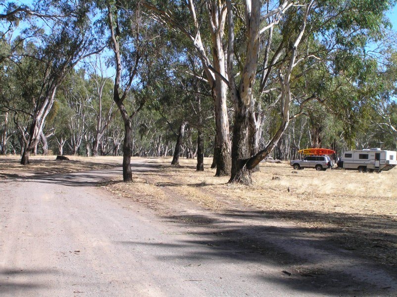
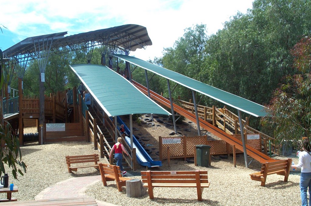
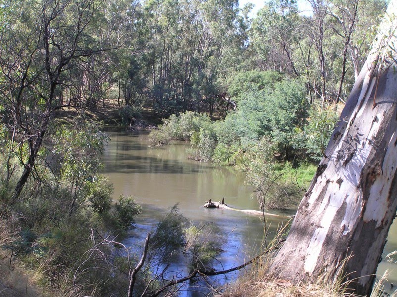
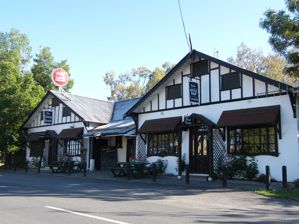
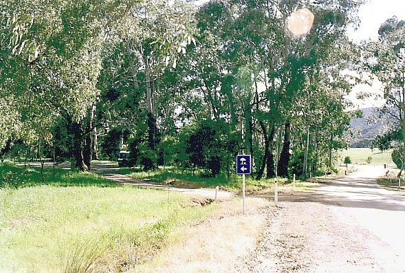
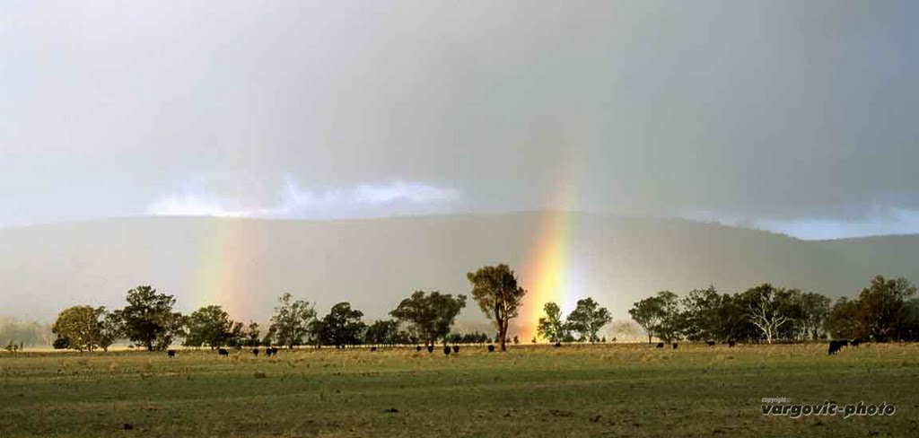
Photos of Moorngag
Moorngag Weather

Predicción: Scattered clouds
Temperatura: 17.2°
Humedad: 42%
Hora actual: 10:00 AM
Amanece: 06:44 AM
Anochece: 05:46 PM


